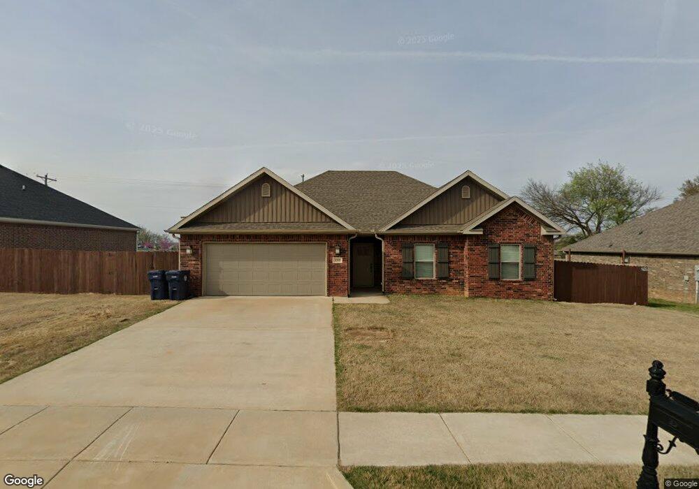
1030 Battery Dr Prairie Grove, AR 72753
Estimated Value: $296,230 - $351,000
--
Bed
--
Bath
1,484
Sq Ft
$211/Sq Ft
Est. Value
About This Home
This home is located at 1030 Battery Dr, Prairie Grove, AR 72753 and is currently estimated at $313,808, approximately $211 per square foot. 1030 Battery Dr is a home with nearby schools including Prairie Grove Elementary School, Prairie Grove Middle School, and Prairie Grove Junior High School.
Ownership History
Date
Name
Owned For
Owner Type
Purchase Details
Closed on
Nov 21, 2018
Sold by
Eagle Holdings Llc
Bought by
Ksda Inc
Current Estimated Value
Purchase Details
Closed on
Aug 23, 2015
Bought by
Heritage Heights American Group and Llc
Purchase Details
Closed on
Apr 29, 2015
Bought by
Ozark Mountain Porterhouse and Club Llc
Purchase Details
Closed on
Nov 7, 2014
Bought by
Stearman Gary
Create a Home Valuation Report for This Property
The Home Valuation Report is an in-depth analysis detailing your home's value as well as a comparison with similar homes in the area
Home Values in the Area
Average Home Value in this Area
Purchase History
| Date | Buyer | Sale Price | Title Company |
|---|---|---|---|
| Ksda Inc | -- | None Available | |
| Heritage Heights American Group | -- | -- | |
| Ozark Mountain Porterhouse | -- | -- | |
| Stearman Gary | $270,000 | -- |
Source: Public Records
Tax History Compared to Growth
Tax History
| Year | Tax Paid | Tax Assessment Tax Assessment Total Assessment is a certain percentage of the fair market value that is determined by local assessors to be the total taxable value of land and additions on the property. | Land | Improvement |
|---|---|---|---|---|
| 2025 | $2,402 | $58,190 | $8,000 | $50,190 |
| 2024 | $2,252 | $58,190 | $8,000 | $50,190 |
| 2023 | $2,144 | $58,190 | $8,000 | $50,190 |
| 2022 | $1,949 | $36,090 | $6,000 | $30,090 |
| 2021 | $1,949 | $36,090 | $6,000 | $30,090 |
| 2020 | $1,942 | $36,090 | $6,000 | $30,090 |
| 2019 | $272 | $5,000 | $5,000 | $0 |
| 2018 | $272 | $5,000 | $5,000 | $0 |
| 2017 | $27 | $5,000 | $5,000 | $0 |
| 2016 | $162 | $3,000 | $3,000 | $0 |
| 2015 | $162 | $3,000 | $3,000 | $0 |
| 2014 | $162 | $3,000 | $3,000 | $0 |
Source: Public Records
Map
Nearby Homes
- 631 Marcella St
- 650 Marcella St
- 511 Captain Stockton St
- 611 Sundowner Ranch Ave
- 1280 General Parson Dr
- 1321 General Marmaduke Dr
- 1170 Musket St
- 1380 Colonel Hawthorne Dr
- 1461 General Parson Dr
- 816 Spurgeon Ln
- 1421 Colonel McNeil Dr
- 16543 U S Highway 62
- 1360 Colonel Bass Ln
- 661 Kendra St
- 101 S Eagle Mountain St
- 150 N Eagle Mountain St
- 951 E Buchanan St
- 212 Marna Lynn Dr
- 730 Marcella St
- 123 S Eagle Mountain St
- 1020 Battery Dr
- 1010 Battery Dr
- 760 Captain Stockton St
- 761 Captain Hopkins St
- 761 Captain Stockton St
- 1100 Battery Dr
- 740 Captain Stockton St
- 741 Captain Hopkins St
- 1110 Battery Dr
- 760 Captain Hopkins St
- 710 Captain Stockton St
- 711 Captain Hopkins St
- 711 Captain Stockton St
- 711 Captain Hopkins St
- 711 Captain Stockton St
- 740 Captain Hopkins St
- 1120 Battery Dr
- 650 Captain Stockton St
- 761 Captain Marshal St
- 710 Captain Hopkins St