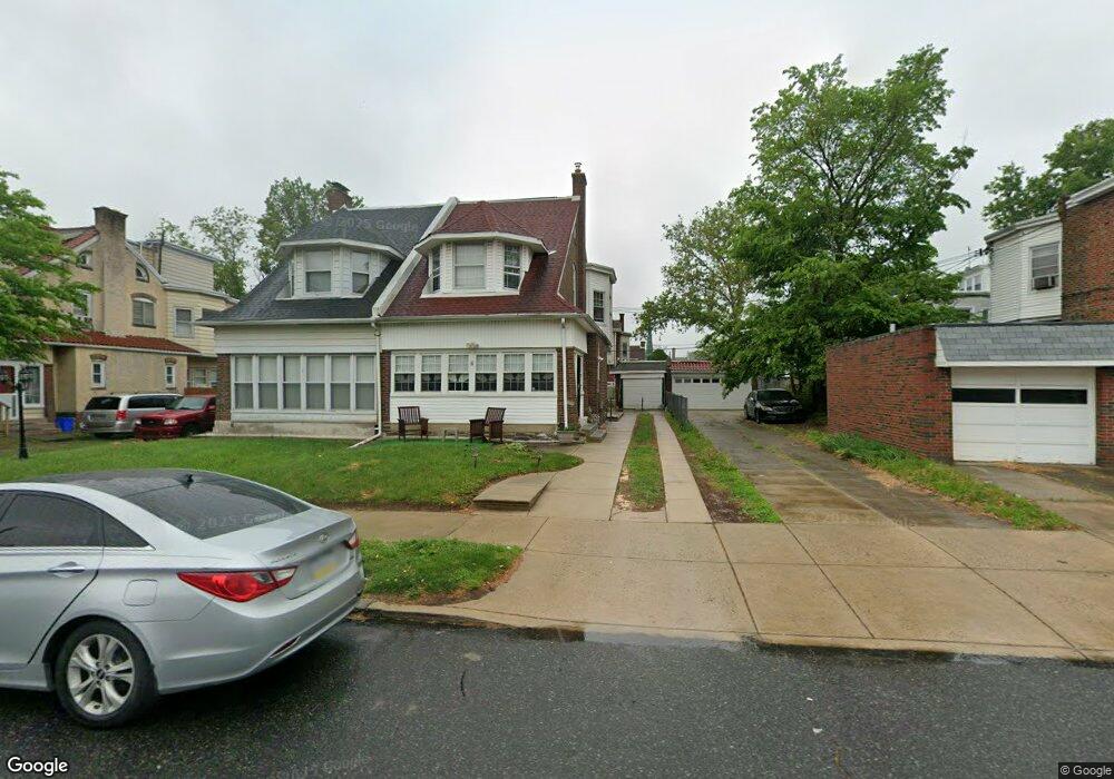
1030 Bridge St Philadelphia, PA 19124
Frankford NeighborhoodEstimated Value: $255,000 - $334,000
4
Beds
1
Bath
1,828
Sq Ft
$162/Sq Ft
Est. Value
About This Home
This home is located at 1030 Bridge St, Philadelphia, PA 19124 and is currently estimated at $295,893, approximately $161 per square foot. 1030 Bridge St is a home located in Philadelphia County with nearby schools including Frankford High School, The Philadelphia Charter School for the Arts & Sciences, and Northwood Academy Charter School.
Ownership History
Date
Name
Owned For
Owner Type
Purchase Details
Closed on
Aug 14, 2009
Sold by
Wright Linda D
Bought by
Wright Linda D and Wright Andrew
Current Estimated Value
Purchase Details
Closed on
Dec 14, 2001
Sold by
Diehl Margaret A
Bought by
Wright Linda D
Home Financials for this Owner
Home Financials are based on the most recent Mortgage that was taken out on this home.
Original Mortgage
$99,750
Interest Rate
9.5%
Create a Home Valuation Report for This Property
The Home Valuation Report is an in-depth analysis detailing your home's value as well as a comparison with similar homes in the area
Home Values in the Area
Average Home Value in this Area
Purchase History
| Date | Buyer | Sale Price | Title Company |
|---|---|---|---|
| Wright Linda D | -- | None Available | |
| Wright Linda D | $105,000 | -- |
Source: Public Records
Mortgage History
| Date | Status | Borrower | Loan Amount |
|---|---|---|---|
| Previous Owner | Wright Linda D | $99,750 |
Source: Public Records
Tax History Compared to Growth
Tax History
| Year | Tax Paid | Tax Assessment Tax Assessment Total Assessment is a certain percentage of the fair market value that is determined by local assessors to be the total taxable value of land and additions on the property. | Land | Improvement |
|---|---|---|---|---|
| 2026 | $3,057 | $271,800 | $54,360 | $217,440 |
| 2025 | $3,057 | $271,800 | $54,360 | $217,440 |
| 2024 | $3,057 | $271,800 | $54,360 | $217,440 |
| 2023 | $3,057 | $218,400 | $43,680 | $174,720 |
| 2022 | $1,730 | $173,400 | $43,680 | $129,720 |
| 2021 | $2,360 | $0 | $0 | $0 |
| 2020 | $2,360 | $0 | $0 | $0 |
| 2019 | $2,265 | $0 | $0 | $0 |
| 2018 | $2,161 | $0 | $0 | $0 |
| 2017 | $2,161 | $0 | $0 | $0 |
| 2016 | $1,741 | $0 | $0 | $0 |
| 2015 | $1,667 | $0 | $0 | $0 |
| 2014 | -- | $154,400 | $52,095 | $102,305 |
| 2012 | -- | $22,784 | $3,467 | $19,317 |
Source: Public Records
Map
Nearby Homes
- 1048 Bridge St
- 1137 Bridge St
- 5659 Miriam Rd
- 5661 Miriam Rd
- 5640 Miriam Rd
- 972 Bridge St
- 1204 Pratt St
- 5505 Loretto Ave
- 996 Anchor St
- 991 Carver St
- 1218 Pratt St
- 1220 Pratt St
- 5347 Sylvester St
- 934 Brill St
- 1244 E Sanger St
- 1431 Rosalie St
- 934 E Sanger St
- 1225 E Cheltenham Ave
- 5118 Oakland St
- 925 E Sanger St
- 1032 Bridge St
- 1038 Bridge St
- 5243 Castor Ave
- 5237 Castor Ave
- 5245 Castor Ave
- 5235 Castor Ave
- 1031 Granite St
- 1033 Granite St
- 1040 Bridge St
- 1039 Granite St
- 1046 Bridge St
- 5229 Castor Ave
- 1041 Granite St
- 5301 Castor Ave
- 5227 Castor Ave
- 1017 Bridge St
- 1015 Bridge St
- 1019 Bridge St
- 5303 Castor Ave
- 1047 Granite St