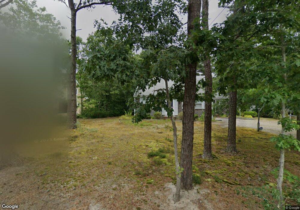
1030 Governor Prence Rd Eastham, MA 02642
Estimated Value: $546,000 - $653,000
2
Beds
1
Bath
1,078
Sq Ft
$572/Sq Ft
Est. Value
About This Home
This home is located at 1030 Governor Prence Rd, Eastham, MA 02642 and is currently estimated at $617,008, approximately $572 per square foot. 1030 Governor Prence Rd is a home located in Barnstable County with nearby schools including Eastham Elementary School, Nauset Regional Middle School, and Nauset Regional High School.
Ownership History
Date
Name
Owned For
Owner Type
Purchase Details
Closed on
Jul 28, 2017
Sold by
Pichard Joan E
Bought by
200 Joan Ellen Pichard
Current Estimated Value
Purchase Details
Closed on
Jan 26, 2010
Sold by
Pichard Rt and Pichard Joan Ellen
Bought by
Pichard Joan Ellen
Purchase Details
Closed on
Mar 21, 2007
Sold by
Pichard Gary N and Pichard Joan Ellen
Bought by
Pichard Gary N and Pichard Joan Ellen
Create a Home Valuation Report for This Property
The Home Valuation Report is an in-depth analysis detailing your home's value as well as a comparison with similar homes in the area
Home Values in the Area
Average Home Value in this Area
Purchase History
| Date | Buyer | Sale Price | Title Company |
|---|---|---|---|
| 200 Joan Ellen Pichard | -- | -- | |
| Pichard Joan Ellen | $112,707 | -- | |
| Pichard Gary N | -- | -- |
Source: Public Records
Tax History
| Year | Tax Paid | Tax Assessment Tax Assessment Total Assessment is a certain percentage of the fair market value that is determined by local assessors to be the total taxable value of land and additions on the property. | Land | Improvement |
|---|---|---|---|---|
| 2025 | $3,820 | $495,400 | $263,500 | $231,900 |
| 2024 | $3,394 | $484,200 | $255,800 | $228,400 |
| 2023 | $3,003 | $414,800 | $213,200 | $201,600 |
| 2022 | $2,890 | $336,800 | $190,400 | $146,400 |
| 2021 | $2,826 | $307,800 | $173,000 | $134,800 |
| 2020 | $2,640 | $302,700 | $176,600 | $126,100 |
| 2019 | $2,439 | $295,600 | $171,500 | $124,100 |
| 2018 | $2,397 | $287,100 | $166,500 | $120,600 |
| 2017 | $2,235 | $282,900 | $163,200 | $119,700 |
| 2016 | $2,225 | $299,000 | $181,300 | $117,700 |
| 2015 | $2,084 | $293,500 | $177,800 | $115,700 |
Source: Public Records
Map
Nearby Homes
- 55 Grandfathers Way
- 10 Cartway N
- 655 Herring Brook Rd
- 330 Hay Rd
- 20 Stone Ct
- 40 Bayview Rd
- 1061 State Hwy Unit 4
- 1061 State Hwy Unit 1061
- 704 State Hwy
- 20 Kittiwake Ln
- 25 Twin Rocks Dr
- 320 State Hwy
- 60 Smith Heights Way
- 59 Bridge Rd
- 480 Dyer Prince Rd
- 339 Dyer Prince Rd
- 181 Rock Harbor Rd
- 6 Penny Ln
- 2705 State Hwy
- 2705 State Hwy Unit 1-8
- 75 Tern Ln
- 1000 Governor Prence Rd
- 65 Tern Ln
- 1005 Governor Prence Rd
- 1035 Governor Prence Rd
- 70 Tern Ln
- 60 Tern Ln
- 80 Tern Ln
- 970 Governor Prence Rd
- 1045 Governor Prence Rd
- 45 Tern Ln
- 975 Governor Prence Rd
- 1050 Governor Prence Rd
- 35 Governor Winslow Dr
- 40 Governor Winslow Dr
- 50 Tern Ln
- 1180 Bridge Rd
- 1150 Bridge Rd
- 20 Governor Bradford Rd
- 1140 Bridge Rd
Your Personal Tour Guide
Ask me questions while you tour the home.