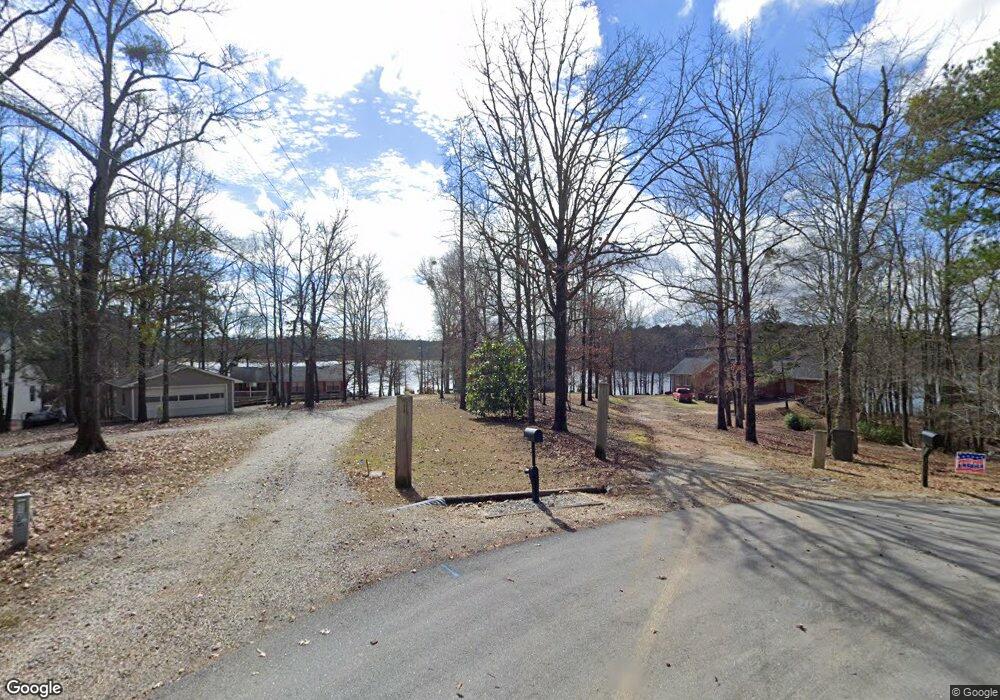
1030 Hawks Bill Dr Greensboro, GA 30642
Estimated Value: $1,056,010 - $1,322,000
--
Bed
3
Baths
1,290
Sq Ft
$945/Sq Ft
Est. Value
About This Home
This home is located at 1030 Hawks Bill Dr, Greensboro, GA 30642 and is currently estimated at $1,218,503, approximately $944 per square foot. 1030 Hawks Bill Dr is a home located in Greene County with nearby schools including Greene County High School.
Ownership History
Date
Name
Owned For
Owner Type
Purchase Details
Closed on
Dec 14, 2009
Sold by
Overton William M
Bought by
Overton William M Jr Etal
Current Estimated Value
Purchase Details
Closed on
Sep 22, 2009
Sold by
Overton Mary Marchman
Bought by
Overton William M
Purchase Details
Closed on
Aug 2, 2005
Sold by
Overton Mary M
Bought by
Overton Mary M
Purchase Details
Closed on
May 25, 2004
Sold by
Overton Mary M
Bought by
Overton Mary M
Purchase Details
Closed on
May 14, 2004
Sold by
Overton William and Overton Mary M
Bought by
Overton Mary M
Purchase Details
Closed on
Jan 1, 1977
Sold by
Lake Wallace Inc
Bought by
Overton William and Overton Mary M
Create a Home Valuation Report for This Property
The Home Valuation Report is an in-depth analysis detailing your home's value as well as a comparison with similar homes in the area
Home Values in the Area
Average Home Value in this Area
Purchase History
| Date | Buyer | Sale Price | Title Company |
|---|---|---|---|
| Overton William M Jr Etal | -- | -- | |
| Overton William M | -- | -- | |
| Overton Mary M | -- | -- | |
| Overton Mary M | -- | -- | |
| Overton Mary M | -- | -- | |
| Overton William | -- | -- | |
| Lake Wallace Inc | -- | -- |
Source: Public Records
Tax History Compared to Growth
Tax History
| Year | Tax Paid | Tax Assessment Tax Assessment Total Assessment is a certain percentage of the fair market value that is determined by local assessors to be the total taxable value of land and additions on the property. | Land | Improvement |
|---|---|---|---|---|
| 2024 | $3,248 | $358,200 | $223,400 | $134,800 |
| 2023 | $2,966 | $349,760 | $223,400 | $126,360 |
| 2022 | $3,565 | $231,800 | $145,600 | $86,200 |
| 2021 | $3,622 | $185,720 | $111,680 | $74,040 |
| 2020 | $3,422 | $159,960 | $106,920 | $53,040 |
| 2019 | $3,519 | $159,960 | $106,920 | $53,040 |
| 2018 | $3,502 | $159,960 | $106,920 | $53,040 |
| 2017 | $3,263 | $159,084 | $106,920 | $52,164 |
| 2016 | $3,276 | $160,001 | $106,920 | $53,081 |
| 2015 | $3,436 | $168,910 | $115,830 | $53,081 |
| 2014 | $3,422 | $164,160 | $115,830 | $48,330 |
Source: Public Records
Map
Nearby Homes
- 1031 Hawks Bill Dr
- 1991 Armour Bridge Rd
- 1010 Portage Trail
- 1230 Lake Club Dr
- 1251 Lake Club Dr
- 1221 Lake Club Dr
- 1050 Tailwater Unit A
- 1050 Tailwater
- 1010 Tailwater
- 1321 Swift Creek
- 1030 Tailwater
- 1800 Buckhead Dr
- 1010 Creekside Unit A
- 1010 Creekside
- 1140 Fox Bend
- 1031 Sugar Run
- 1611 Lighthouse Cir
- 1201 Swift Creek
- 1430 Buckhead Dr
- 1040 Hawks Bill Dr
- 1020 Hawks Bill Dr
- 1041 Hawks Bill Dr
- 1010 Hawks Bill Dr
- 1031 Hawks Bill Dr Unit 57
- 1000 Hawks Bill Dr
- 1021 Hawks Bill Dr
- 1051 Tree A Coon Place
- 2100 Armour Bridge Rd Unit 50
- 2100 Armour Bridge Rd
- 1061 Tree A Coon Place
- 1041 Tree A Coon Place Unit 48
- 1041 Tree A Coon Place
- 2130 Armour Bridge Rd
- 1011 Tree A Coon Place
- 1060 Tree A Coon Place
- 0 Hawks Bill Dr
- 2160 Armour Bridge Rd
- 1050 Tree A Coon Place
- 1050 Tree-A-coon Place