1030 Illinois Rd Cheyenne, WY 82009
Estimated Value: $420,000 - $579,000
--
Bed
--
Bath
1,350
Sq Ft
$375/Sq Ft
Est. Value
About This Home
This home is located at 1030 Illinois Rd, Cheyenne, WY 82009 and is currently estimated at $506,673, approximately $375 per square foot. 1030 Illinois Rd is a home with nearby schools including Gilchrist Elementary School, McCormick Junior High School, and Central High School.
Ownership History
Date
Name
Owned For
Owner Type
Purchase Details
Closed on
Sep 29, 2014
Sold by
Caldon Ian Buckley
Bought by
Caldon Ian Buckley and Baldera Cecilia Villar
Current Estimated Value
Home Financials for this Owner
Home Financials are based on the most recent Mortgage that was taken out on this home.
Original Mortgage
$151,903
Interest Rate
4.16%
Mortgage Type
Construction
Purchase Details
Closed on
Jun 13, 2014
Sold by
Gill Roger E
Bought by
Cladon Ian Buckley
Create a Home Valuation Report for This Property
The Home Valuation Report is an in-depth analysis detailing your home's value as well as a comparison with similar homes in the area
Home Values in the Area
Average Home Value in this Area
Purchase History
| Date | Buyer | Sale Price | Title Company |
|---|---|---|---|
| Caldon Ian Buckley | -- | None Available | |
| Cladon Ian Buckley | -- | None Available |
Source: Public Records
Mortgage History
| Date | Status | Borrower | Loan Amount |
|---|---|---|---|
| Closed | Caldon Ian Buckley | $151,903 |
Source: Public Records
Tax History Compared to Growth
Tax History
| Year | Tax Paid | Tax Assessment Tax Assessment Total Assessment is a certain percentage of the fair market value that is determined by local assessors to be the total taxable value of land and additions on the property. | Land | Improvement |
|---|---|---|---|---|
| 2025 | $3,020 | $34,991 | $6,530 | $28,461 |
| 2024 | $3,020 | $44,927 | $8,707 | $36,220 |
| 2023 | $2,776 | $42,245 | $8,707 | $33,538 |
| 2022 | $2,334 | $34,739 | $6,561 | $28,178 |
| 2021 | $2,002 | $29,730 | $4,332 | $25,398 |
| 2020 | $1,693 | $25,212 | $3,088 | $22,124 |
| 2019 | $1,601 | $23,829 | $2,912 | $20,917 |
| 2018 | $1,452 | $21,830 | $2,912 | $18,918 |
| 2017 | $1,347 | $20,060 | $2,569 | $17,491 |
| 2016 | $1,323 | $19,685 | $2,501 | $17,184 |
| 2015 | $168 | $2,501 | $2,501 | $0 |
| 2014 | $171 | $2,521 | $2,521 | $0 |
Source: Public Records
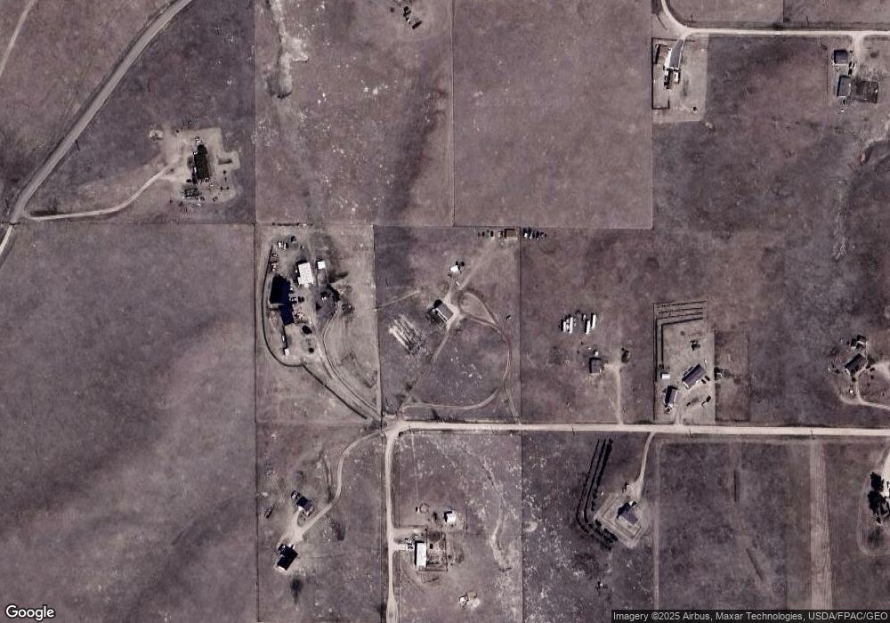
Map
Nearby Homes
- 1113 Indiana Rd
- 1100 Brundage Rd
- Tract 234 Samoa Rd
- 985 Range Line Rd
- 0 Range Line Rd
- 1102 Dusty Rd
- Lot 99 Tennessee Rd
- Tract 295 S Carolina Rd
- Tract 300 S Carolina Rd
- Lot 346 Carribean Rd
- Lot 340 Carribean Rd
- Lot 366 Carribean Rd
- Tract 291 Boundary Rd
- TBD Boundary Rd
- Tract 334 Bering Rd
- TBD Bade Rd
- 1092 Bade Rd
- 1015 Bade Rd
- Tract 29 Latigo Loop
- 1207 Road 113
- 1034 Illinois Rd
- 1021 Illinois Rd
- 1035 Illinois Rd
- 1020 Illinois Rd
- 1011 Road 110
- 1016 New York Rd
- 1043 Saint James Rd
- 1023 Road 110
- 1046 Illinois Rd
- 1032 New York Rd
- 1049 Saint James Rd
- 1049 St James Rd
- 1024 New York Rd
- 1045 Illinois Rd
- 1050 Illinois Rd
- 1008 New York Rd
- 1031 New York Rd
- 1026 Saint James Rd
- 1016 Road 110a