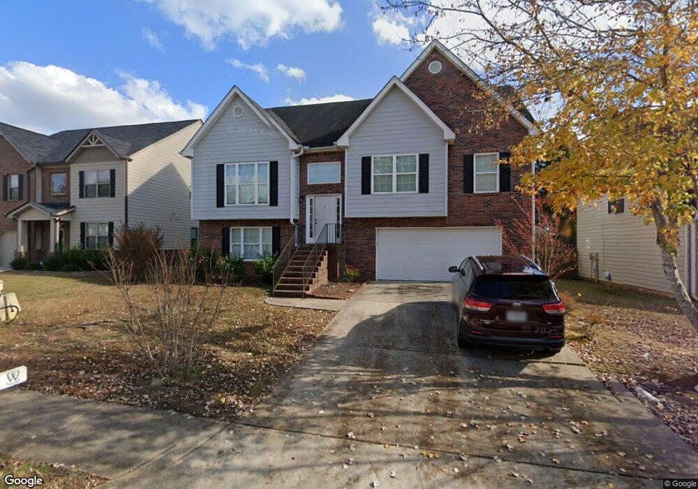
1030 Lear Dr Locust Grove, GA 30248
Estimated Value: $328,355 - $340,000
About This Home
This home is located at 1030 Lear Dr, Locust Grove, GA 30248 and is currently estimated at $333,589, approximately $131 per square foot. 1030 Lear Dr is a home located in Henry County with nearby schools including Locust Grove Elementary School, Locust Grove Middle School, and Locust Grove High School.
Ownership History
We collect this data history from publicly available records. To have your information removed, we recommend requesting removal directly through your county’s website.
Purchase Details
Home Financials for this Owner
Home Financials are based on the most recent Mortgage that was taken out on this home.Home Values in the Area
Average Home Value in this Area
Purchase History
We collect this data history from publicly available records. To have your information removed, we recommend requesting removal directly through your county’s website.
| Date | Buyer | Sale Price | Title Company |
|---|---|---|---|
| $180,300 | -- | ||
| -- | -- |
Mortgage History
We collect this data history from publicly available records. To have your information removed, we recommend requesting removal directly through your county’s website.
| Date | Status | Borrower | Loan Amount |
|---|---|---|---|
| Open | $178,836 |
Tax History
We collect this data history from publicly available records. To have your information removed, we recommend requesting removal directly through your county’s website.
| Year | Tax Paid | Tax Assessment Tax Assessment Total Assessment is a certain percentage of the fair market value that is determined by local assessors to be the total taxable value of land and additions on the property. | Land | Improvement |
|---|---|---|---|---|
| 2025 | $45 | $143,680 | $16,000 | $127,680 |
| 2024 | $45 | $123,520 | $16,000 | $107,520 |
| 2023 | $38 | $125,200 | $21,200 | $104,000 |
| 2022 | $38 | $101,640 | $21,200 | $80,440 |
| 2021 | $38 | $83,360 | $21,200 | $62,160 |
| 2020 | $38 | $73,600 | $12,000 | $61,600 |
| 2019 | $38 | $40,720 | $12,000 | $28,720 |
| 2018 | $0 | $58,840 | $10,000 | $48,840 |
| 2016 | $38 | $48,920 | $8,000 | $40,920 |
| 2015 | -- | $49,120 | $8,000 | $41,120 |
| 2014 | $38 | $46,960 | $8,000 | $38,960 |
Map
- 1151 Werre Way
- 2031 Theberton Trail
- 544 Moline Way
- 180 Sophie Cir
- 269 Baumgard Way
- 188 Sophie Cir
- 842 Trillium Dr
- 838 Trillium Dr
- 849 Trillium Dr
- 830 Trillium Dr
- 837 Trillium Dr
- 841 Trillium Dr
- 833 Trillium Dr
- 825 Trillium Dr
- 846 Trillium Dr
- 845 Trillium Dr
- 191 Aster Ave
- 531 Carleton Place
- 165 Aster Ave
- 353 Arnica Dr
- 1023 Lear Dr
- 1029 Lear Dr Unit 315
- 1029 Lear Dr
- 1027 Lear Dr Unit 317
- 1027 Lear Dr
- 1027 Lear Dr Unit 1027
- 1019 Lear Dr
- 1505 Dunniston Dr Unit 316
- 1505 Dunniston Dr
- 1024 Lear Dr Unit 359
- 1024 Lear Dr
- 1015 Lear Dr
- 1503 Dunniston Dr
- 1020 Lear Dr
- 1028 Lear Dr
- 0 Lear Dr Unit 3146782
- 0 Lear Dr Unit 3146928
- 0 Lear Dr Unit 3146783
- 0 Lear Dr Unit 3225396
- 0 Lear Dr Unit 3225394
Ask me questions while you tour the home.