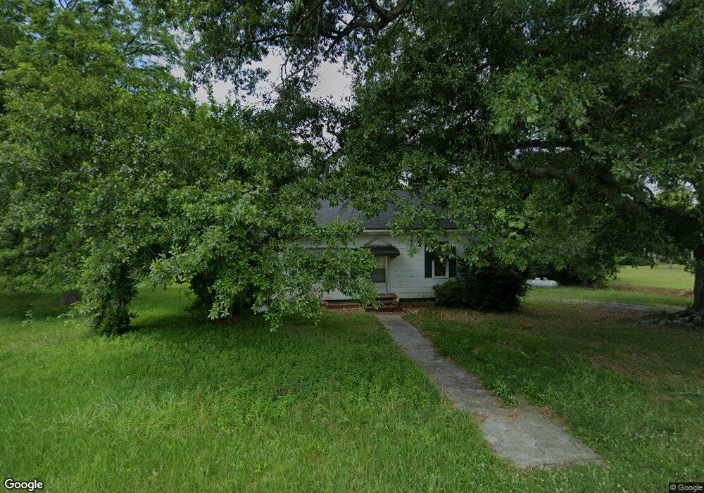
1030 Maxeys Rd Union Point, GA 30669
Estimated Value: $145,000 - $246,000
2
Beds
2
Baths
1,353
Sq Ft
$148/Sq Ft
Est. Value
About This Home
This home is located at 1030 Maxeys Rd, Union Point, GA 30669 and is currently estimated at $199,935, approximately $147 per square foot. 1030 Maxeys Rd is a home located in Greene County with nearby schools including Greene County High School.
Ownership History
Date
Name
Owned For
Owner Type
Purchase Details
Closed on
May 5, 2010
Sold by
Whitehead Minnie A
Bought by
Harris Carol W and Besole Gail W
Current Estimated Value
Purchase Details
Closed on
Jan 1, 1971
Sold by
Wood Ronnie and Wood Carol W
Bought by
Whitehead Lee M and Whitehead Minnie A
Purchase Details
Closed on
Jan 1, 1970
Sold by
Askew George E and Askew Lillie A
Bought by
Wood Ronnie and Wood Carol W
Purchase Details
Closed on
Jan 1, 1968
Sold by
Hattaway Henry
Bought by
Askew George E and Askew Lillie A
Purchase Details
Closed on
Jan 1, 1966
Bought by
Hattaway Henry
Create a Home Valuation Report for This Property
The Home Valuation Report is an in-depth analysis detailing your home's value as well as a comparison with similar homes in the area
Home Values in the Area
Average Home Value in this Area
Purchase History
| Date | Buyer | Sale Price | Title Company |
|---|---|---|---|
| Harris Carol W | -- | -- | |
| Whitehead Lee M | -- | -- | |
| Wood Ronnie | -- | -- | |
| Askew George E | -- | -- | |
| Hattaway Henry | -- | -- |
Source: Public Records
Tax History Compared to Growth
Tax History
| Year | Tax Paid | Tax Assessment Tax Assessment Total Assessment is a certain percentage of the fair market value that is determined by local assessors to be the total taxable value of land and additions on the property. | Land | Improvement |
|---|---|---|---|---|
| 2024 | $340 | $45,440 | $3,640 | $41,800 |
| 2023 | $246 | $43,240 | $3,040 | $40,200 |
| 2022 | $278 | $27,360 | $2,320 | $25,040 |
| 2021 | $277 | $24,560 | $2,320 | $22,240 |
| 2020 | $195 | $15,920 | $1,240 | $14,680 |
| 2019 | $193 | $15,920 | $1,240 | $14,680 |
| 2018 | $171 | $15,920 | $1,240 | $14,680 |
| 2017 | $171 | $15,963 | $1,277 | $14,686 |
| 2016 | $177 | $16,802 | $1,277 | $15,525 |
| 2015 | $151 | $16,802 | $1,277 | $15,525 |
| 2014 | $140 | $15,405 | $1,277 | $14,128 |
Source: Public Records
Map
Nearby Homes
- 5011 Penfield Rd
- 1101 Boswell Rd
- 5971 Penfield Rd
- 3021 Penfield Rd
- 1211 Peachtree Ave W
- 0 Woodville Rd Unit 7667944
- 0 Woodville Rd Unit 10628010
- 3434 Union Point Rd
- 0 Dogwood Rd
- 1251 Adams Rd
- 0 Cold Springs Rd Unit 25814506
- 1110 Woodland Way
- 1110 Woodland Ln
- 0 Union Point Hwy Unit 10555176
- 0 Union Point Hwy Unit 7607786
- 0 Shady Side Ln
- 0 Old Union Point Rd Unit 1 10557753
- 1020 Horton Dr
- 204 Maple St
- 420 W Richland Ave
- 1070 Maxeys Rd
- 1851 Maxey's Rd
- 4850 Penfield Rd
- 1400 Maxeys Rd
- 1080 Old Maxey's Rd
- 1080 Maxeys Rd
- 0 Beasley Cir Unit 8289084
- 4780 Penfield Rd
- 1070 Beasley Cir
- 1030 Cemetery Rd
- 1111 Wyatt Rd
- 4980 Penfield Rd
- 4991 Penfield Rd
- 5020 Penfield Rd
- 1050 Beasley Cir
- 4700 Penfield Rd
- 4721 Penfield Rd
- 1031 Wyatt Rd
- 1011 Wyatt Rd
- 1011 Wyatt Rd Unit 1011 L L WYATT