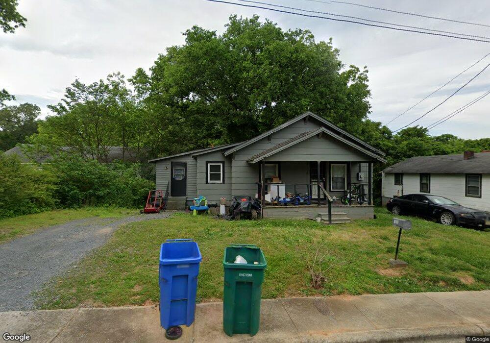
1030 Ml King Dr Albemarle, NC 28001
Estimated Value: $73,000 - $135,000
2
Beds
1
Bath
953
Sq Ft
$111/Sq Ft
Est. Value
About This Home
This home is located at 1030 Ml King Dr, Albemarle, NC 28001 and is currently estimated at $106,135, approximately $111 per square foot. 1030 Ml King Dr is a home with nearby schools including Central Elementary School, Albemarle Middle School, and Albemarle High School.
Ownership History
Date
Name
Owned For
Owner Type
Purchase Details
Closed on
Mar 1, 2007
Sold by
Prioties 1St Inc
Bought by
Williams Jamien Terrell
Current Estimated Value
Purchase Details
Closed on
Oct 10, 2006
Sold by
Covington Tonya and Covington Michael
Bought by
Williams Jamien T
Home Financials for this Owner
Home Financials are based on the most recent Mortgage that was taken out on this home.
Original Mortgage
$54,500
Interest Rate
6.36%
Mortgage Type
New Conventional
Purchase Details
Closed on
Oct 18, 2005
Sold by
Davis Walter T
Bought by
Mccoy Frank Taft and Mccoy Ann R
Create a Home Valuation Report for This Property
The Home Valuation Report is an in-depth analysis detailing your home's value as well as a comparison with similar homes in the area
Purchase History
| Date | Buyer | Sale Price | Title Company |
|---|---|---|---|
| Williams Jamien Terrell | -- | None Available | |
| Williams Jamien T | $54,500 | None Available | |
| Mccoy Frank Taft | $15,750 | None Available |
Source: Public Records
Mortgage History
| Date | Status | Borrower | Loan Amount |
|---|---|---|---|
| Previous Owner | Williams Jamien T | $54,500 |
Source: Public Records
Tax History
| Year | Tax Paid | Tax Assessment Tax Assessment Total Assessment is a certain percentage of the fair market value that is determined by local assessors to be the total taxable value of land and additions on the property. | Land | Improvement |
|---|---|---|---|---|
| 2025 | $377 | $33,685 | $9,072 | $24,613 |
| 2024 | $260 | $21,307 | $3,024 | $18,283 |
| 2023 | $260 | $21,307 | $3,024 | $18,283 |
| 2022 | $260 | $21,307 | $3,024 | $18,283 |
| 2021 | $260 | $21,307 | $3,024 | $18,283 |
| 2020 | $251 | $19,342 | $2,721 | $16,621 |
| 2019 | $253 | $19,342 | $2,721 | $16,621 |
| 2018 | $253 | $19,342 | $2,721 | $16,621 |
| 2017 | $244 | $19,342 | $2,721 | $16,621 |
| 2016 | $271 | $21,481 | $2,721 | $18,760 |
| 2015 | $273 | $21,481 | $2,721 | $18,760 |
| 2014 | $286 | $21,481 | $2,721 | $18,760 |
Source: Public Records
Map
Nearby Homes
- 1025 Martin Luther King Junior Dr
- 1035 Gibson St
- 401 Colston St
- 306 Dunlap St
- 1050 Rush St
- 905 Elizabeth Ave
- 320 T E White Sr Dr
- 1003 Lundix St
- 142 S Morrow Ave
- 307 Arey Ave
- 1224 Bailey St
- 1105 E Main St
- 1132 E Main St
- 528 Waddell Dr
- 1126 Pee Dee Ave
- 1214 Pee Dee Ave
- 1051 Pee Dee Ave
- 1035 Pee Dee Ave
- 1116 Montgomery Ave
- 114 S 5th St
- 1030 Martin Luther King Junior Dr
- 1026 Ml King Dr
- 1029 Ml King Dr
- 1025 Ml King Dr
- 1037 Ml King Dr
- 1022 Ml King Dr
- Vac Colston St
- Vac Colston St Unit 12,13,14
- 316 Sides St
- 1051 Rush St
- 1043 Gibson St
- 1039 Rush Dr
- 301 Dunlap St
- 1002 Ml King Dr
- 319 Ml King Dr
- 336 Sides St
- VAC Dunlap St
- 317 Sides St
- 239 Dunlap St
- 1057 Gibson St
Your Personal Tour Guide
Ask me questions while you tour the home.