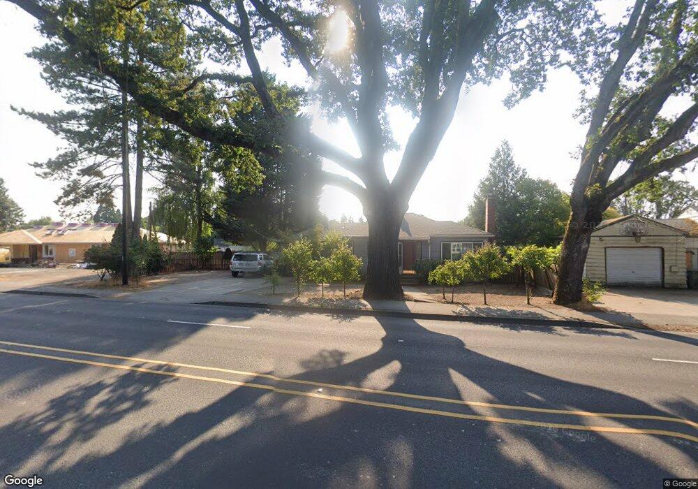
1030 NE Cornell Rd Hillsboro, OR 97124
Central Hillsboro NeighborhoodEstimated Value: $380,806 - $563,000
4
Beds
1
Bath
1,232
Sq Ft
$351/Sq Ft
Est. Value
About This Home
This home is located at 1030 NE Cornell Rd, Hillsboro, OR 97124 and is currently estimated at $432,952, approximately $351 per square foot. 1030 NE Cornell Rd is a home located in Washington County with nearby schools including Lincoln Street Elementary School, Evergreen Jr High School, and Glencoe High School.
Ownership History
Date
Name
Owned For
Owner Type
Purchase Details
Closed on
Aug 22, 2005
Sold by
Rodriguez Lourdes C and Perez Lourdes
Bought by
Rodriguez Lourdes C
Current Estimated Value
Home Financials for this Owner
Home Financials are based on the most recent Mortgage that was taken out on this home.
Original Mortgage
$84,272
Outstanding Balance
$44,127
Interest Rate
5.61%
Mortgage Type
New Conventional
Estimated Equity
$388,825
Purchase Details
Closed on
Jul 12, 1996
Sold by
Western United Life Assurance Company
Bought by
Perez Lourdes
Create a Home Valuation Report for This Property
The Home Valuation Report is an in-depth analysis detailing your home's value as well as a comparison with similar homes in the area
Home Values in the Area
Average Home Value in this Area
Purchase History
| Date | Buyer | Sale Price | Title Company |
|---|---|---|---|
| Rodriguez Lourdes C | -- | Ticor Title Insurance Compan | |
| Perez Lourdes | $49,950 | -- |
Source: Public Records
Mortgage History
| Date | Status | Borrower | Loan Amount |
|---|---|---|---|
| Open | Rodriguez Lourdes C | $84,272 |
Source: Public Records
Tax History Compared to Growth
Tax History
| Year | Tax Paid | Tax Assessment Tax Assessment Total Assessment is a certain percentage of the fair market value that is determined by local assessors to be the total taxable value of land and additions on the property. | Land | Improvement |
|---|---|---|---|---|
| 2025 | $2,557 | $156,440 | -- | -- |
| 2024 | $2,485 | $151,890 | -- | -- |
| 2023 | $2,485 | $147,470 | $0 | $0 |
| 2022 | $2,417 | $147,470 | $0 | $0 |
| 2021 | $2,369 | $139,010 | $0 | $0 |
| 2020 | $2,318 | $134,970 | $0 | $0 |
| 2019 | $2,251 | $131,040 | $0 | $0 |
| 2018 | $2,155 | $127,230 | $0 | $0 |
| 2017 | $2,077 | $123,530 | $0 | $0 |
| 2016 | $2,020 | $119,940 | $0 | $0 |
| 2015 | $1,939 | $116,450 | $0 | $0 |
| 2014 | $1,928 | $113,060 | $0 | $0 |
Source: Public Records
Map
Nearby Homes
- 960 E Main St
- 1112 E Main St
- 1043 NE Sturgess Ave
- 1184 NE Turner Dr
- 1303 NE Cornell Rd
- 1269 NE Grant St
- 624 NE Edison St
- 461 NE 16th Ave
- 1518 SE Oak St Unit 2
- 511 NE Lincoln St
- 635 SE Walnut St
- 1470 SE Walnut St Unit 210
- 844 SE Cedar St
- 0 SE Cedar St
- 420 NE Jackson St
- 674 SE 11th Ave
- 1107 SE Maple St
- 349 SE Walnut St
- 245 NE 4th Ave
- 676 SE Cedar St
- 1020 NE Cornell Rd
- 145 NE 11th Street Dr
- 1050 NE Cornell Rd
- 1050 NE Cornell Rd
- 1010 NE Cornell Rd
- 157 NE 11th Street Dr
- 1025 NE Cornell Rd
- 1035 NE Cornell Rd
- 1015 NE Cornell Rd
- 133 NE 11th Street Dr
- 1060 NE Cornell Rd
- 1002 NE Lincoln St
- 1083 NE 11th Street Dr
- 1058 NE Lincoln St
- 984 NE Lincoln St
- 1005 NE Cornell Rd
- 130 NE 11th Dr
- 1037 E Main St
- 130 NE 11th Street Dr
- 1013 NE Cornell Rd