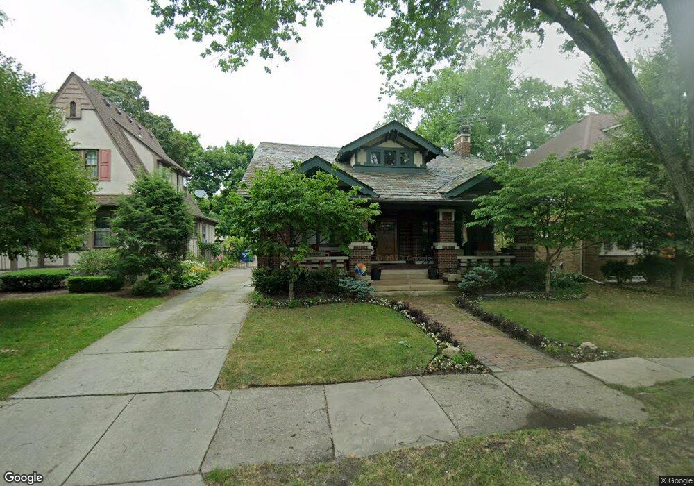
1030 Nottingham Rd Grosse Pointe Park, MI 48230
Estimated Value: $371,000 - $585,000
Studio
--
Bath
2,098
Sq Ft
$220/Sq Ft
Est. Value
About This Home
This home is located at 1030 Nottingham Rd, Grosse Pointe Park, MI 48230 and is currently estimated at $461,465, approximately $219 per square foot. 1030 Nottingham Rd is a home located in Wayne County with nearby schools including George Defer Elementary School, Pierce Middle School, and Grosse Pointe South High School.
Ownership History
Date
Name
Owned For
Owner Type
Purchase Details
Closed on
May 20, 2022
Sold by
Lobed Lawrence J
Bought by
Lobert Lawrence J and Lobed Bonnie M
Current Estimated Value
Home Financials for this Owner
Home Financials are based on the most recent Mortgage that was taken out on this home.
Original Mortgage
$368,000
Outstanding Balance
$349,592
Interest Rate
5.25%
Mortgage Type
New Conventional
Estimated Equity
$111,873
Create a Home Valuation Report for This Property
The Home Valuation Report is an in-depth analysis detailing your home's value as well as a comparison with similar homes in the area
Home Values in the Area
Average Home Value in this Area
Purchase History
| Date | Buyer | Sale Price | Title Company |
|---|---|---|---|
| Lobert Lawrence J | -- | None Listed On Document |
Source: Public Records
Mortgage History
| Date | Status | Borrower | Loan Amount |
|---|---|---|---|
| Open | Lobert Lawrence J | $368,000 |
Source: Public Records
Tax History
| Year | Tax Paid | Tax Assessment Tax Assessment Total Assessment is a certain percentage of the fair market value that is determined by local assessors to be the total taxable value of land and additions on the property. | Land | Improvement |
|---|---|---|---|---|
| 2025 | $3,140 | $224,900 | $0 | $0 |
| 2024 | $3,023 | $215,600 | $0 | $0 |
| 2023 | $2,887 | $206,400 | $0 | $0 |
| 2022 | $2,742 | $183,900 | $0 | $0 |
| 2021 | $5,408 | $172,300 | $0 | $0 |
| 2019 | $5,565 | $158,800 | $0 | $0 |
| 2018 | $2,615 | $132,300 | $0 | $0 |
| 2017 | $6,137 | $83,600 | $0 | $0 |
| 2016 | $5,606 | $115,000 | $0 | $0 |
| 2015 | $9,786 | $116,100 | $0 | $0 |
| 2013 | $9,480 | $98,400 | $0 | $0 |
| 2012 | $2,601 | $101,900 | $31,300 | $70,600 |
Source: Public Records
Map
Nearby Homes
- 1048 Lakepointe St Unit A
- 1083 Lakepointe St
- 74 Pointe Park Place Unit 311
- 26 Pointe Park Place Unit 303
- 1206 Balfour St
- 970 Lakepointe St
- 1350 Alter Rd
- 1254 Beaconsfield Ave
- 2568 Alter Rd
- 2140 Alter Rd
- 1328 Lakepointe St
- 1338 Somerset Ave
- 943 Harcourt Rd Unit 45
- 1332 Wayburn St
- 908 Manistique St
- 1336 Wayburn St
- 2190 Philip St
- 2580 Alter Rd
- 877 Manistique St
- 14536 E Jefferson Ave
- 1028 Nottingham Rd
- 1032 Nottingham Rd
- 1047 Somerset Ave
- 1051 Somerset Ave
- 1026 Nottingham Rd
- 1034 Nottingham Rd
- 1043 Somerset Ave
- 1055 Somerset Ave
- 1029 Nottingham Rd
- 1024 Nottingham Rd
- 1033 Nottingham Rd
- 1036 Nottingham Rd
- 1027 Nottingham Rd
- 1035 Somerset Ave
- 1059 Somerset Ave
- 1031 Nottingham Rd
- 1022 Nottingham Rd
- 1038 Nottingham Rd
- 1025 Nottingham Rd
- 1035 Nottingham Rd
Your Personal Tour Guide
Ask me questions while you tour the home.