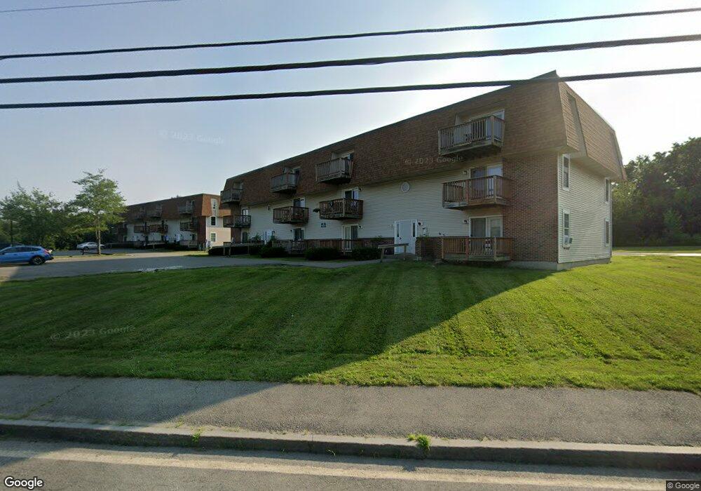
1030 Ohio St Bangor, ME 04401
Capehart Neighborhood
--
Bed
24
Baths
20,587
Sq Ft
5
Acres
About This Home
This home is located at 1030 Ohio St, Bangor, ME 04401. 1030 Ohio St is a home located in Penobscot County with nearby schools including Downeast School, Fairmount School, and James F. Doughty School.
Ownership History
Date
Name
Owned For
Owner Type
Purchase Details
Closed on
May 27, 2013
Sold by
Bulldog Realty Llc
Bought by
Deerfield Commons Llc
Purchase Details
Closed on
Apr 17, 2008
Sold by
Deerfield Associates Llc
Bought by
Bulldog Realty Llc
Home Financials for this Owner
Home Financials are based on the most recent Mortgage that was taken out on this home.
Original Mortgage
$1,417,012
Outstanding Balance
$903,687
Interest Rate
6.1%
Mortgage Type
FHA
Create a Home Valuation Report for This Property
The Home Valuation Report is an in-depth analysis detailing your home's value as well as a comparison with similar homes in the area
Home Values in the Area
Average Home Value in this Area
Purchase History
| Date | Buyer | Sale Price | Title Company |
|---|---|---|---|
| Deerfield Commons Llc | -- | -- | |
| Bulldog Realty Llc | -- | -- |
Source: Public Records
Mortgage History
| Date | Status | Borrower | Loan Amount |
|---|---|---|---|
| Open | Bulldog Realty Llc | $1,417,012 |
Source: Public Records
Tax History Compared to Growth
Tax History
| Year | Tax Paid | Tax Assessment Tax Assessment Total Assessment is a certain percentage of the fair market value that is determined by local assessors to be the total taxable value of land and additions on the property. | Land | Improvement |
|---|---|---|---|---|
| 2024 | $34,178 | $1,842,500 | $375,800 | $1,466,700 |
| 2023 | $32,959 | $1,721,100 | $375,800 | $1,345,300 |
| 2022 | $31,642 | $1,551,100 | $375,800 | $1,175,300 |
| 2021 | $31,662 | $1,419,800 | $348,000 | $1,071,800 |
| 2020 | $32,422 | $1,397,500 | $348,000 | $1,049,500 |
| 2019 | $31,177 | $1,355,500 | $348,000 | $1,007,500 |
| 2018 | $31,127 | $1,356,300 | $348,000 | $1,008,300 |
| 2017 | $30,939 | $1,372,000 | $348,000 | $1,024,000 |
| 2016 | $30,715 | $1,365,100 | $348,000 | $1,017,100 |
| 2015 | $30,390 | $1,384,500 | $348,000 | $1,036,500 |
| 2014 | $28,689 | $1,316,000 | $183,300 | $1,132,700 |
| 2013 | $27,059 | $1,300,900 | $183,300 | $1,117,600 |
Source: Public Records
Map
Nearby Homes
- 850 Ohio St
- 110 Streamside Ln Unit 30
- 1343 Ohio St Unit 20
- 42 Yankee Ave
- 41 Dana Dr
- 7 Cherry Ln
- 564 Kenduskeag Ave
- 541 Kenduskeag Ave Unit A1
- 58 Brighton Ave
- 250 Husson Ave Unit 1D
- 550 Ohio St
- 50 Laurel Cir
- Lot #19 Broadway
- 103 Sherman Ave
- 97 Sherman Ave
- 90 Baldwin Dr
- 48 16th St
- 1763 Union St
- 1677 Ohio St
- 114 Falvey St