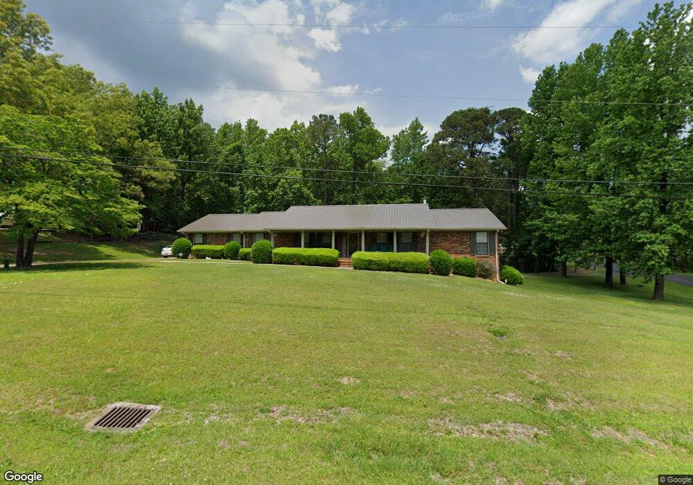
1030 Rock Crest Dr Mc Calla, AL 35111
Estimated Value: $347,000 - $352,826
3
Beds
3
Baths
2,774
Sq Ft
$126/Sq Ft
Est. Value
About This Home
This home is located at 1030 Rock Crest Dr, Mc Calla, AL 35111 and is currently estimated at $348,707, approximately $125 per square foot. 1030 Rock Crest Dr is a home located in Jefferson County with nearby schools including Mcadory Elementary School, Mcadory Middle School, and Mcadory High School.
Ownership History
Date
Name
Owned For
Owner Type
Purchase Details
Closed on
Aug 23, 2019
Sold by
Selman Walter David
Bought by
Walton Freddy G and Walton Connie L
Current Estimated Value
Home Financials for this Owner
Home Financials are based on the most recent Mortgage that was taken out on this home.
Original Mortgage
$176,000
Outstanding Balance
$154,143
Interest Rate
3.7%
Mortgage Type
Commercial
Estimated Equity
$194,564
Purchase Details
Closed on
Dec 15, 2016
Sold by
Selman Nelda G
Bought by
Selman Walter David
Create a Home Valuation Report for This Property
The Home Valuation Report is an in-depth analysis detailing your home's value as well as a comparison with similar homes in the area
Home Values in the Area
Average Home Value in this Area
Purchase History
| Date | Buyer | Sale Price | Title Company |
|---|---|---|---|
| Walton Freddy G | $220,000 | -- | |
| Selman Walter David | $218,100 | -- |
Source: Public Records
Mortgage History
| Date | Status | Borrower | Loan Amount |
|---|---|---|---|
| Open | Walton Freddy G | $176,000 |
Source: Public Records
Tax History Compared to Growth
Tax History
| Year | Tax Paid | Tax Assessment Tax Assessment Total Assessment is a certain percentage of the fair market value that is determined by local assessors to be the total taxable value of land and additions on the property. | Land | Improvement |
|---|---|---|---|---|
| 2024 | $1,351 | $31,600 | -- | -- |
| 2022 | $0 | $27,720 | $6,500 | $21,220 |
| 2021 | $329 | $21,950 | $6,500 | $15,450 |
| 2020 | $299 | $19,930 | $6,500 | $13,430 |
| 2019 | $2,137 | $42,660 | $0 | $0 |
| 2018 | $2,277 | $45,440 | $0 | $0 |
| 2017 | $218 | $21,820 | $0 | $0 |
| 2016 | -- | $21,820 | $0 | $0 |
| 2015 | -- | $25,640 | $0 | $0 |
| 2014 | $1,266 | $24,340 | $0 | $0 |
| 2013 | $1,266 | $25,280 | $0 | $0 |
Source: Public Records
Map
Nearby Homes
- 1114 Rock Crest Dr
- 1134 Rock Crest Dr
- 6525 Shadowrock Cir Unit 10
- 2134 Rock Mountain Dr
- 2157 Lakeside Dr
- 2005 Rock Mountain Dr Unit 5
- 1016 Tall Oaks Cir Unit 1
- 1700 Lakeside Dr
- 2186 Rock Mountain Lake Dr
- 2216 Lakeside Dr
- 2010 Rock Mountain Dr
- 993 Coleman Dr
- 501 Waterside Cir
- 1934 Martin Cir
- 1928 Lakeside Dr
- 1904 Leafwood Cir
- 1901 Lakeside Dr
- 7045 Summerdale Dr
- Beau Ridge Ln
- 6942 Robin Ln
- 1100 Rock Crest Dr
- 1029 Rock Crest Dr
- 1100 Victoria Dr
- 1105 Victoria Dr
- 1103 Rock Crest Dr
- 1109 Victoria Dr
- 1116 Victoria Dr
- 1101 Victoria Dr
- 1107 Rock Crest Dr
- 1102 Rock Crest Dr
- 1117 Victoria Dr
- 1120 Victoria Dr
- 1106 Rock Crest Dr
- 1114 Lake Park Dr
- 1115 Rock Crest Dr
- 1121 Victoria Dr
- 1124 Victoria Dr
- 1110 Lake Park Dr
- 1011 Lakeside Dr
- 1110 Rock Crest Dr