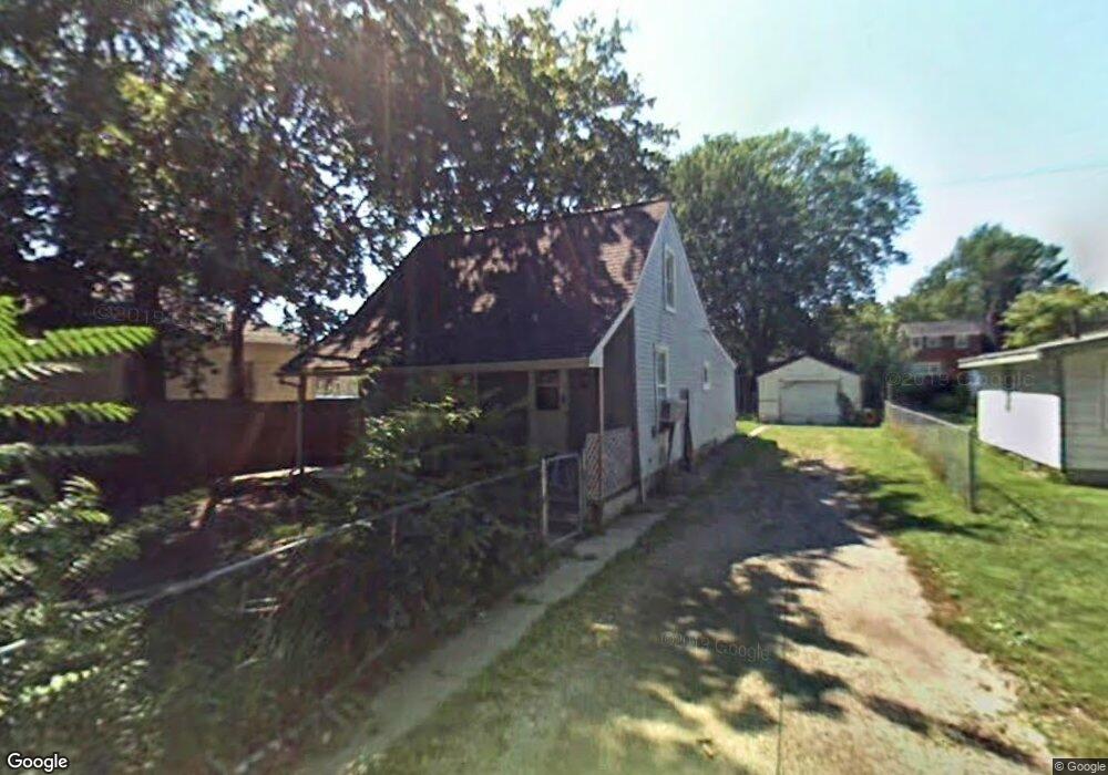
1030 S Garden St Flint, MI 48503
Southwest Flint NeighborhoodEstimated Value: $46,000 - $75,000
3
Beds
1
Bath
688
Sq Ft
$86/Sq Ft
Est. Value
About This Home
This home is located at 1030 S Garden St, Flint, MI 48503 and is currently estimated at $59,426, approximately $86 per square foot. 1030 S Garden St is a home located in Genesee County with nearby schools including Eisenhower School, Flint Southwestern Classical Academy, and St John Vianney Catholic School.
Ownership History
Date
Name
Owned For
Owner Type
Purchase Details
Closed on
Oct 25, 2024
Sold by
Bair Donald Louis and Bair Justin Larry
Bought by
Bair Justin Larry and Bair Donald
Current Estimated Value
Home Financials for this Owner
Home Financials are based on the most recent Mortgage that was taken out on this home.
Original Mortgage
$28,800
Outstanding Balance
$27,604
Interest Rate
5.15%
Mortgage Type
New Conventional
Estimated Equity
$31,822
Purchase Details
Closed on
Mar 28, 2013
Sold by
Genesee County Land Bank Authority
Bought by
Bair Donald Louis and Bair Justin Larry
Purchase Details
Closed on
Dec 20, 2012
Sold by
Cherry Deborah L and Genesee County Treasurer
Bought by
Genesee County Land Bank
Purchase Details
Closed on
Jun 2, 2009
Sold by
Smith Robert Lee
Bought by
Sorrell Pamela Michelle
Create a Home Valuation Report for This Property
The Home Valuation Report is an in-depth analysis detailing your home's value as well as a comparison with similar homes in the area
Home Values in the Area
Average Home Value in this Area
Purchase History
| Date | Buyer | Sale Price | Title Company |
|---|---|---|---|
| Bair Justin Larry | -- | None Listed On Document | |
| Bair Justin Larry | -- | None Listed On Document | |
| Bair Donald Louis | $1,000 | None Available | |
| Genesee County Land Bank | -- | None Available | |
| Sorrell Pamela Michelle | -- | None Available |
Source: Public Records
Mortgage History
| Date | Status | Borrower | Loan Amount |
|---|---|---|---|
| Open | Bair Justin Larry | $28,800 | |
| Closed | Bair Justin Larry | $28,800 |
Source: Public Records
Tax History Compared to Growth
Tax History
| Year | Tax Paid | Tax Assessment Tax Assessment Total Assessment is a certain percentage of the fair market value that is determined by local assessors to be the total taxable value of land and additions on the property. | Land | Improvement |
|---|---|---|---|---|
| 2025 | $762 | $15,100 | $0 | $0 |
| 2024 | $714 | $14,900 | $0 | $0 |
| 2023 | $705 | $12,700 | $0 | $0 |
| 2022 | $0 | $10,800 | $0 | $0 |
| 2021 | $710 | $9,700 | $0 | $0 |
| 2020 | $662 | $7,700 | $0 | $0 |
| 2019 | $1,114 | $7,400 | $0 | $0 |
| 2018 | $624 | $6,900 | $0 | $0 |
| 2017 | $611 | $0 | $0 | $0 |
| 2016 | $607 | $0 | $0 | $0 |
| 2015 | -- | $0 | $0 | $0 |
| 2014 | -- | $0 | $0 | $0 |
| 2012 | -- | $6,600 | $0 | $0 |
Source: Public Records
Map
Nearby Homes
- 1202 Pershing St
- 1926 W Court St
- 1412 Durand St
- 1810 Chelsea Cir
- 1820 Chelsea Cir
- 2124 Swayze St
- 1402 Woodcroft Ave
- 1505 Downey St
- 1506 Downey St
- 2429 Brown St
- 2433 Brown St
- 1725 Lincoln Dr
- 2437 Zimmerman St
- 2509 Corunna Rd
- 2464 Gibson St
- 2537 Swayze St
- 913 Davis St
- 2008 University Ave
- 1516 Gainey Ave
- 2608 Cumings Ave
- 1026 S Garden St
- 1034 S Garden St
- 1022 S Garden St
- 1018 S Garden St
- 1105 Christopher St
- 1109 Christopher St
- 1101 Christopher St
- 1021 Christopher St
- 1018 South Dr
- 1013 Christopher St
- 1102 South Dr
- 1703 Crescent Dr
- 1009 Christopher St
- 1801 Zimmerman St
- 1805 Zimmerman St
- 1110 South Dr
- 1715 Crescent Dr
- 1110 Christopher St
- 1809 Zimmerman St
- 1104 Christopher St