1030 W Deep Forrest Rd Unit 1 Coalville, UT 84017
Estimated Value: $225,000
--
Bed
--
Bath
--
Sq Ft
20.3
Acres
About This Home
This home is located at 1030 W Deep Forrest Rd Unit 1, Coalville, UT 84017 and is currently priced at $225,000. 1030 W Deep Forrest Rd Unit 1 is a home located in Summit County with nearby schools including North Summit Middle School, North Summit Elementary School, and North Summit High School.
Ownership History
Date
Name
Owned For
Owner Type
Purchase Details
Closed on
Apr 14, 2025
Sold by
Mueller Daniel
Bought by
Marshall George
Current Estimated Value
Purchase Details
Closed on
Feb 10, 2022
Sold by
Tim Townhill
Bought by
Mueller Daniel
Purchase Details
Closed on
Feb 8, 2022
Sold by
Tim Townhill
Bought by
Mueller Daniel
Purchase Details
Closed on
Mar 23, 2021
Sold by
Ahimsa Llc
Bought by
Townhill Tim
Create a Home Valuation Report for This Property
The Home Valuation Report is an in-depth analysis detailing your home's value as well as a comparison with similar homes in the area
Home Values in the Area
Average Home Value in this Area
Purchase History
| Date | Buyer | Sale Price | Title Company |
|---|---|---|---|
| Marshall George | -- | Meridian Title | |
| Marshall George | -- | Meridian Title | |
| Mueller Daniel | -- | Inwest Title | |
| Mueller Daniel | -- | Inwest Title | |
| Mueller Daniel | -- | Inwest Title | |
| Townhill Tim | -- | Metro National Title |
Source: Public Records
Tax History Compared to Growth
Tax History
| Year | Tax Paid | Tax Assessment Tax Assessment Total Assessment is a certain percentage of the fair market value that is determined by local assessors to be the total taxable value of land and additions on the property. | Land | Improvement |
|---|---|---|---|---|
| 2024 | $2,845 | $302,950 | $302,950 | -- |
| 2023 | $2,845 | $512,950 | $512,950 | $0 |
| 2022 | $2,073 | $375,450 | $375,450 | $0 |
| 2021 | $1,588 | $235,450 | $235,450 | $0 |
| 2020 | $1,913 | $235,450 | $235,450 | $0 |
| 2019 | $1,912 | $235,450 | $235,450 | $0 |
| 2018 | $2,150 | $235,450 | $235,450 | $0 |
| 2017 | $2,059 | $235,450 | $235,450 | $0 |
| 2016 | $1,524 | $160,600 | $160,600 | $0 |
| 2015 | $1,381 | $160,600 | $0 | $0 |
| 2013 | $958 | $110,600 | $0 | $0 |
Source: Public Records
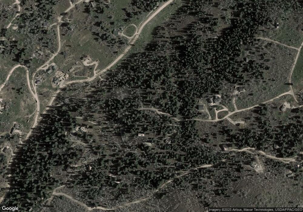
Map
Nearby Homes
- 2261 Pine Meadow Dr
- 2422 S Valley View Rd
- 2458 S Forest Meadow Rd
- 2481 Forest Meadow Rd Unit D91
- 1430 W Arapaho Dr Unit 59
- 1430 W Arapaho Dr
- 2393 S Navajo Dr Unit Pi-C-47
- 2393 S Navajo Dr Unit C-47
- 1065 Beaver Cir
- 2421 S Navajo Dr Unit PI-C50
- 2421 Navajo Rd
- 1215 Elk Rd
- 700 W Forgotten Ln
- 2230 S Porcupine Cir
- 2560 S Valley View Rd Unit 1
- 1678 W Alexander Canyon Rd Unit D-92
- 1598 Arapaho Dr Unit 93
- 1598 Arapaho Dr
- 2043 S Pine Meadow Dr
- 1180 Oak Rd
- 1081 Deep Forest Rd
- 1025 Deep Forest Rd
- 2239 Pine Meadow Dr
- 2239 Pine Meadow Dr Unit C82
- 969 W Deep Forest Rd
- 969 W Deep Forest Rd Unit 155
- 2239 S Pine Meadow Dr Unit C-82
- 969 W Deep Forest
- 0 20 30 Acres In Tollgate Unit 12003030
- 1040 W Arapaho Dr
- 2222 Pine Meadow Dr Unit 10 C
- 2222 Pine Meadow Dr
- 2222 Pine Meadow Dr Unit C10
- 2222 Pine Meadow Dr
- 2222 Pine Meadow Dr Unit 10
- 926 W Deep Forest Rd
- 926 W Deep Forest Rd Unit 157
- 926 W Deep Forest Rd
- 2261 Pine Meadow Dr
- 2261 Pine Meadow Dr Unit 81