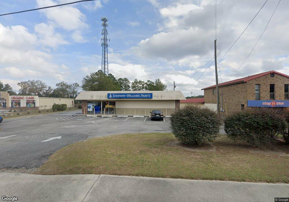
1030 W Oglethorpe Hwy Hinesville, GA 31313
Estimated Value: $1,826,419
--
Bed
--
Bath
5,010
Sq Ft
$365/Sq Ft
Est. Value
About This Home
This home is located at 1030 W Oglethorpe Hwy, Hinesville, GA 31313 and is currently estimated at $1,826,419, approximately $364 per square foot. 1030 W Oglethorpe Hwy is a home located in Liberty County with nearby schools including Frank Long Elementary School, Lewis Frasier Middle School, and Liberty County High School.
Ownership History
Date
Name
Owned For
Owner Type
Purchase Details
Closed on
Aug 18, 2020
Sold by
West Gary Norwood Suc
Bought by
Global Project Hinesville Sw Llc
Current Estimated Value
Home Financials for this Owner
Home Financials are based on the most recent Mortgage that was taken out on this home.
Original Mortgage
$750,000
Interest Rate
3%
Mortgage Type
Commercial
Purchase Details
Closed on
Aug 14, 2006
Sold by
Topi Trail Holding Llc
Bought by
West James N Trustee Of The Norwood
Purchase Details
Closed on
Jan 10, 2003
Sold by
First Citizens Bank
Bought by
Robertson James E
Purchase Details
Closed on
May 19, 1998
Bought by
Manning Kenneth D
Create a Home Valuation Report for This Property
The Home Valuation Report is an in-depth analysis detailing your home's value as well as a comparison with similar homes in the area
Home Values in the Area
Average Home Value in this Area
Purchase History
| Date | Buyer | Sale Price | Title Company |
|---|---|---|---|
| Global Project Hinesville Sw Llc | $1,000,000 | -- | |
| West James N Trustee Of The Norwood | $360,000 | -- | |
| Topi Trail Holdings Llc | $360,000 | -- | |
| Robertson James E | $356,000 | -- | |
| Manning Kenneth D | $260,000 | -- |
Source: Public Records
Mortgage History
| Date | Status | Borrower | Loan Amount |
|---|---|---|---|
| Closed | Global Project Hinesville Sw Llc | $750,000 |
Source: Public Records
Tax History Compared to Growth
Tax History
| Year | Tax Paid | Tax Assessment Tax Assessment Total Assessment is a certain percentage of the fair market value that is determined by local assessors to be the total taxable value of land and additions on the property. | Land | Improvement |
|---|---|---|---|---|
| 2024 | $9,569 | $192,335 | $80,474 | $111,861 |
| 2023 | $9,041 | $195,726 | $80,474 | $115,252 |
| 2022 | $7,963 | $172,385 | $80,474 | $91,911 |
| 2021 | $8,360 | $177,694 | $80,474 | $97,220 |
| 2020 | $8,643 | $181,959 | $80,474 | $101,485 |
| 2019 | $8,704 | $184,641 | $80,474 | $104,167 |
| 2018 | $8,781 | $187,323 | $80,474 | $106,849 |
| 2017 | $6,257 | $190,006 | $80,474 | $109,532 |
Source: Public Records
Map
Nearby Homes
- 0 W Oglethorpe Hwy
- 14.27 +/- W Oglethorpe Hwy
- MULTIPLE W Oglethorpe Hwy
- Tract 2 W Oglethorpe Hwy
- Tract 4 W Oglethorpe Hwy
- 1107 Fairfax Ct
- 1162 Cumberland Dr
- 1138 Montclair Dr
- 940 Fox Haven Ct
- 904 W Oglethorpe Hwy
- 1103 Tomcat Trail
- 411 Christopher Dr
- 1111 Apache Alley
- 408 Flowers Dr
- 927 Charles C Frasier Blvd
- 1100 Spruce St
- 832 W Oglethorpe Hwy
- 818 W Oglethorpe Hwy
- 920 Greenbriar Rd
- 1089 Desert Shield St
- 1008 W Oglethorpe Hwy
- 194 Cherokee Cir
- 192 Cherokee Cir
- 196 Cherokee Cir
- 198 Cherokee Cir
- 190 Cherokee Cir
- 200 Cherokee Cir
- 188 Cherokee Cir
- 101 Cherokee Cir
- 186 Cherokee Cir
- 103 Cherokee Cir
- 195 Cherokee Cir
- 187 Cherokee Cir
- 184 Cherokee Cir
- 105 Cherokee Cir
- 182 Cherokee Cir
- 183 Cherokee Cir
- 102 Cherokee Cir
- 107 Cherokee Cir
- 181 Cherokee Cir