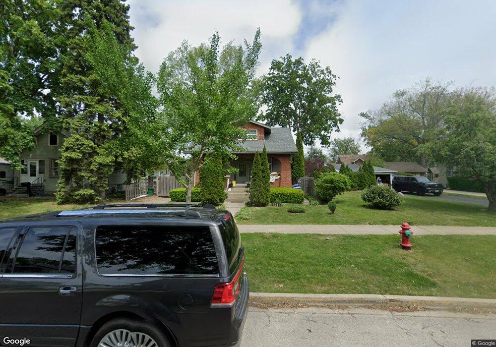
1030 Walter Ave Des Plaines, IL 60016
Estimated Value: $357,000 - $470,000
4
Beds
2
Baths
1,705
Sq Ft
$230/Sq Ft
Est. Value
About This Home
This home is located at 1030 Walter Ave, Des Plaines, IL 60016 and is currently estimated at $391,765, approximately $229 per square foot. 1030 Walter Ave is a home with nearby schools including Forest Elementary School, Algonquin Middle School, and Maine West High School.
Ownership History
Date
Name
Owned For
Owner Type
Purchase Details
Closed on
Jun 16, 2005
Sold by
Darmofal Linda R
Bought by
Mroczkowski Oliver
Current Estimated Value
Home Financials for this Owner
Home Financials are based on the most recent Mortgage that was taken out on this home.
Original Mortgage
$263,625
Outstanding Balance
$164,048
Interest Rate
8.9%
Mortgage Type
Unknown
Estimated Equity
$227,717
Purchase Details
Closed on
Sep 30, 2000
Sold by
Burns Joyce
Bought by
Burns Joyce C and The Joyce C Burns Declaration Of Trust
Create a Home Valuation Report for This Property
The Home Valuation Report is an in-depth analysis detailing your home's value as well as a comparison with similar homes in the area
Home Values in the Area
Average Home Value in this Area
Purchase History
| Date | Buyer | Sale Price | Title Company |
|---|---|---|---|
| Mroczkowski Oliver | $277,500 | Lawyers | |
| Burns Joyce C | -- | -- |
Source: Public Records
Mortgage History
| Date | Status | Borrower | Loan Amount |
|---|---|---|---|
| Open | Mroczkowski Oliver | $263,625 |
Source: Public Records
Tax History Compared to Growth
Tax History
| Year | Tax Paid | Tax Assessment Tax Assessment Total Assessment is a certain percentage of the fair market value that is determined by local assessors to be the total taxable value of land and additions on the property. | Land | Improvement |
|---|---|---|---|---|
| 2024 | $5,981 | $26,000 | $5,325 | $20,675 |
| 2023 | $5,810 | $26,000 | $5,325 | $20,675 |
| 2022 | $5,810 | $26,000 | $5,325 | $20,675 |
| 2021 | $4,947 | $19,423 | $4,260 | $15,163 |
| 2020 | $4,932 | $19,423 | $4,260 | $15,163 |
| 2019 | $4,885 | $21,582 | $4,260 | $17,322 |
| 2018 | $5,411 | $21,527 | $3,727 | $17,800 |
| 2017 | $6,036 | $23,922 | $3,727 | $20,195 |
| 2016 | $5,954 | $23,922 | $3,727 | $20,195 |
| 2015 | $6,430 | $23,893 | $3,195 | $20,698 |
| 2014 | $6,311 | $23,893 | $3,195 | $20,698 |
| 2013 | $6,136 | $23,893 | $3,195 | $20,698 |
Source: Public Records
Map
Nearby Homes
- 648 1st Ave
- 1057 Hollywood Ave
- 886 E Thacker St
- 881 E Thacker St
- 879 North Ave
- 915 Graceland Ave Unit 1E
- 799 Graceland Ave Unit 504A
- 890 North Ave
- 514 S 4th Ave
- 858 E Grant Dr
- 390 S Western Ave Unit 604
- 911 E Villa Dr
- 370 S Western Ave Unit 505
- 1258 Brown St Unit 302
- 714 E Thacker St
- 1353 Perry St Unit 6
- 1374 Jefferson St
- 1363 Perry St Unit 1B
- 843 Lexington Cir E
- 821 Lexington Cir E
- 1022 Walter Ave
- 1046 Walter Ave
- 1054 Walter Ave
- 633 S 2nd Ave
- 1031 Greenview Ave
- 1021 Greenview Ave
- 1037 Greenview Ave
- 1013 Greenview Ave
- 1047 Greenview Ave
- 1031 Walter Ave
- 1039 Walter Ave
- 1062 Walter Ave
- 1021 Walter Ave
- 1047 Walter Ave
- 1005 Greenview Ave
- 1057 Greenview Ave
- 1055 Walter Ave
- 1070 Walter Ave
- 1003 Walter Ave
- 1065 Greenview Ave