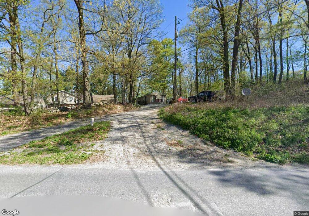
1030 Welsh Rd Morgantown, PA 19543
Estimated Value: $299,000 - $460,193
4
Beds
2
Baths
1,760
Sq Ft
$210/Sq Ft
Est. Value
About This Home
This home is located at 1030 Welsh Rd, Morgantown, PA 19543 and is currently estimated at $369,798, approximately $210 per square foot. 1030 Welsh Rd is a home with nearby schools including Garden Spot Middle School, Garden Spot Senior High School, and Conestoga Christian School.
Ownership History
Date
Name
Owned For
Owner Type
Purchase Details
Closed on
Sep 29, 2016
Sold by
Barkman Michael S and Barkman Tammy A
Bought by
Rental Homes Unlimited Llc
Current Estimated Value
Home Financials for this Owner
Home Financials are based on the most recent Mortgage that was taken out on this home.
Original Mortgage
$95,000
Outstanding Balance
$76,088
Interest Rate
3.43%
Mortgage Type
Purchase Money Mortgage
Estimated Equity
$293,710
Purchase Details
Closed on
Sep 23, 1996
Bought by
Barkman Michael S and Barkman Tammy A
Create a Home Valuation Report for This Property
The Home Valuation Report is an in-depth analysis detailing your home's value as well as a comparison with similar homes in the area
Home Values in the Area
Average Home Value in this Area
Purchase History
| Date | Buyer | Sale Price | Title Company |
|---|---|---|---|
| Rental Homes Unlimited Llc | $147,000 | Attorney | |
| Barkman Michael S | -- | -- |
Source: Public Records
Mortgage History
| Date | Status | Borrower | Loan Amount |
|---|---|---|---|
| Open | Rental Homes Unlimited Llc | $95,000 |
Source: Public Records
Tax History Compared to Growth
Tax History
| Year | Tax Paid | Tax Assessment Tax Assessment Total Assessment is a certain percentage of the fair market value that is determined by local assessors to be the total taxable value of land and additions on the property. | Land | Improvement |
|---|---|---|---|---|
| 2025 | $3,682 | $227,000 | $133,100 | $93,900 |
| 2024 | $3,682 | $227,000 | $133,100 | $93,900 |
| 2023 | $3,624 | $227,000 | $133,100 | $93,900 |
| 2022 | $3,580 | $227,000 | $133,100 | $93,900 |
| 2021 | $3,517 | $227,000 | $133,100 | $93,900 |
| 2020 | $3,517 | $227,000 | $133,100 | $93,900 |
| 2019 | $3,475 | $227,000 | $133,100 | $93,900 |
| 2018 | $5,623 | $227,000 | $133,100 | $93,900 |
| 2017 | $3,147 | $167,500 | $81,900 | $85,600 |
| 2016 | $3,147 | $167,500 | $81,900 | $85,600 |
| 2015 | $628 | $167,500 | $81,900 | $85,600 |
| 2014 | $2,414 | $167,500 | $81,900 | $85,600 |
Source: Public Records
Map
Nearby Homes
- 0 Westbrook Dr
- 0 Westbrook Dr
- 0 Westbrook Dr
- 0 Westbrook Dr
- 112 Maxwell Hill Rd
- 110 Petrelia Dr
- 407 Cahill Cir Unit 4
- 2085 Main St
- 1 Senn Ln
- 1520 Lexington Way
- 24 Wexford Ct
- 44 Wexford Ct
- 1022 Elwood St
- 3511 Main St
- 102 Country Ln
- 650 Broad St
- 0 Heritage Dr Unit 4A PABK2058798
- 1250 Chestnut Tree Rd
- 607 Buchland Rd
- 10 Woods Rd
- 1045 Welsh Rd
- 1009 Welsh Rd
- 999 Welsh Rd
- 0 Twin County Rd Unit PALA2027672
- 989 Welsh Rd
- 481 Twin County Rd
- 514 Twin County Rd
- 485 Shirktown Rd
- 968 Welsh Rd
- 133 Christie Ln
- 969 Welsh Rd
- 459 Twin County Rd
- 543 Twin County Rd
- 481 Shirktown Rd
- 70 Quarry Rd
- 460 Twin County Rd
- 85 Christie Ln
- 480 Shirktown Rd
- 515 Twin County Rd
- 437 Twin County Rd