10300 Burns Rd Carleton, MI 48117
Estimated Value: $331,697 - $466,000
Studio
--
Bath
1,767
Sq Ft
$230/Sq Ft
Est. Value
About This Home
This home is located at 10300 Burns Rd, Carleton, MI 48117 and is currently estimated at $406,566, approximately $230 per square foot. 10300 Burns Rd is a home located in Monroe County with nearby schools including Airport Senior High School, St. Patrick Elementary School, and Carleton Community Baptist.
Create a Home Valuation Report for This Property
The Home Valuation Report is an in-depth analysis detailing your home's value as well as a comparison with similar homes in the area
Home Values in the Area
Average Home Value in this Area
Tax History
| Year | Tax Paid | Tax Assessment Tax Assessment Total Assessment is a certain percentage of the fair market value that is determined by local assessors to be the total taxable value of land and additions on the property. | Land | Improvement |
|---|---|---|---|---|
| 2025 | $955 | $141,800 | $51,100 | $90,700 |
| 2024 | $926 | $126,500 | $0 | $0 |
| 2023 | $882 | $108,300 | $0 | $0 |
| 2022 | $4,279 | $108,300 | $0 | $0 |
| 2021 | $4,160 | $107,600 | $0 | $0 |
| 2020 | $4,155 | $96,600 | $0 | $0 |
| 2019 | $4,134 | $96,600 | $0 | $0 |
| 2018 | $4,179 | $90,400 | $0 | $0 |
| 2017 | $4,090 | $79,900 | $0 | $0 |
| 2016 | $4,019 | $79,900 | $0 | $0 |
| 2015 | $3,991 | $68,300 | $0 | $0 |
| 2014 | $3,990 | $68,300 | $0 | $0 |
| 2013 | -- | $66,100 | $0 | $0 |
Source: Public Records
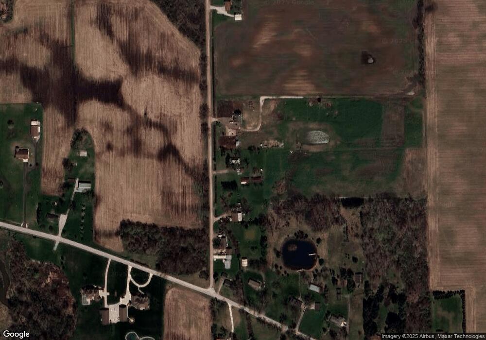
Map
Nearby Homes
- 9601 Exeter Rd
- 49 James Dr
- 8485 S Stoney Creek Rd
- 12259 Eldora St
- 1405 Cedarcrest Dr
- 12464 Maxwell Rd
- 12361 Spencer Ln
- 12751 Jones St
- 12850 Crane St
- 8705 Steffas Rd
- 3290 Gruber Rd
- 0 N Telegraph Rd Unit 50189310
- 0000 Telegraph Rd
- 5571 Zink Rd
- 13498 Exeter Rd
- 1827 Newport Rd
- 0 N Telegraph Rd
- 0 N Telegraph Rd Unit 50165571
- 0 N Telegraph Rd Unit 25053939
- 9229 Post Branch Dr Unit 342
Your Personal Tour Guide
Ask me questions while you tour the home.