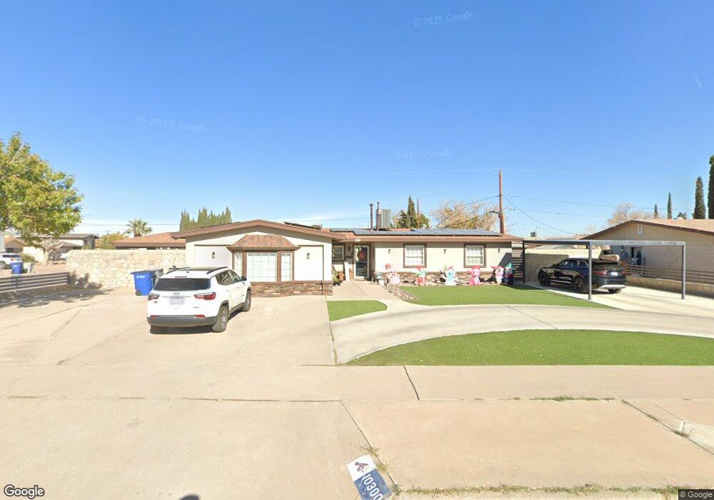
10300 Leewood Dr El Paso, TX 79925
Eastwood NeighborhoodEstimated Value: $269,000 - $300,000
--
Bed
2
Baths
1,905
Sq Ft
$149/Sq Ft
Est. Value
About This Home
This home is located at 10300 Leewood Dr, El Paso, TX 79925 and is currently estimated at $284,270, approximately $149 per square foot. 10300 Leewood Dr is a home located in El Paso County with nearby schools including East Point Elementary School, Eastwood Middle School, and Eastwood High School.
Ownership History
Date
Name
Owned For
Owner Type
Purchase Details
Closed on
Jul 10, 1996
Sold by
May William L and May Patricia L
Bought by
Reyes Armando and Marestein Tarin Annette
Current Estimated Value
Home Financials for this Owner
Home Financials are based on the most recent Mortgage that was taken out on this home.
Original Mortgage
$68,609
Outstanding Balance
$4,876
Interest Rate
8.05%
Mortgage Type
FHA
Estimated Equity
$279,394
Create a Home Valuation Report for This Property
The Home Valuation Report is an in-depth analysis detailing your home's value as well as a comparison with similar homes in the area
Home Values in the Area
Average Home Value in this Area
Purchase History
| Date | Buyer | Sale Price | Title Company |
|---|---|---|---|
| Reyes Armando | -- | -- |
Source: Public Records
Mortgage History
| Date | Status | Borrower | Loan Amount |
|---|---|---|---|
| Open | Reyes Armando | $68,609 |
Source: Public Records
Tax History Compared to Growth
Tax History
| Year | Tax Paid | Tax Assessment Tax Assessment Total Assessment is a certain percentage of the fair market value that is determined by local assessors to be the total taxable value of land and additions on the property. | Land | Improvement |
|---|---|---|---|---|
| 2025 | $4,162 | $242,677 | -- | -- |
| 2024 | $4,162 | $220,615 | -- | -- |
| 2023 | $3,857 | $196,003 | $22,041 | $173,962 |
| 2022 | $5,831 | $187,788 | $0 | $0 |
| 2021 | $5,549 | $170,716 | $22,041 | $148,675 |
| 2020 | $5,538 | $175,322 | $16,954 | $158,368 |
| 2018 | $4,301 | $138,307 | $16,954 | $121,353 |
| 2017 | $3,855 | $126,112 | $16,954 | $109,158 |
| 2016 | $3,855 | $126,112 | $16,954 | $109,158 |
| 2015 | $2,983 | $126,112 | $16,954 | $109,158 |
| 2014 | $2,983 | $125,294 | $16,954 | $108,340 |
Source: Public Records
Map
Nearby Homes
- 2412 Penwood Dr
- 3000 Woodall St
- 10145 Singapore Ave
- 10309 Woodruff Ct
- 10140 Suez Dr
- 10512 Album Ave
- 10145 Camwood Dr
- 10304 Woodruff Ct
- 2701 Brady Place
- 2801 Brady Place
- 2912 Chaswood St
- 10304 Blackwood Ave
- 10301 Bayo Ave
- 9917 Honolulu Dr
- 2224 Escarpa Dr
- 10313 Byway Dr
- 10233 Byway Dr
- 3101 Vogue Dr
- 3018 Wedgewood Dr
- 3150 N Yarbrough Dr Unit A1
- 10304 Leewood Dr
- 10258 Saigon Dr
- 10308 Leewood Dr
- 10296 Bush Ln
- 10264 Saigon Dr
- 10255 Saigon Dr
- 10249 Saigon Dr
- 10259 Saigon Dr
- 10312 Leewood Dr
- 10300 Bush Ln
- 10245 Saigon Dr
- 10292 Bush Ln
- 10265 Saigon Dr
- 10268 Saigon Dr
- 10314 Leewood Dr
- 10304 Bush Ln
- 10239 Saigon Dr
- 10267 Saigon Dr
- 10288 Bush Ln
- 10288 Bush Ln Unit 1