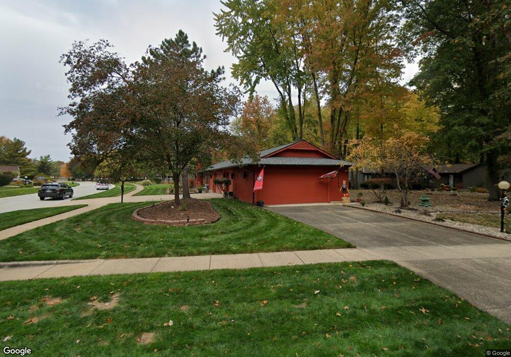
10300 Maple Branch Trail Strongsville, OH 44149
Estimated Value: $368,916 - $394,000
4
Beds
2
Baths
2,424
Sq Ft
$158/Sq Ft
Est. Value
About This Home
This home is located at 10300 Maple Branch Trail, Strongsville, OH 44149 and is currently estimated at $381,979, approximately $157 per square foot. 10300 Maple Branch Trail is a home located in Cuyahoga County with nearby schools including Strongsville High School and Sts Joseph & John Interparochial School.
Ownership History
Date
Name
Owned For
Owner Type
Purchase Details
Closed on
Oct 10, 2008
Sold by
Puzsik Donna M
Bought by
Wilson Jody W
Current Estimated Value
Home Financials for this Owner
Home Financials are based on the most recent Mortgage that was taken out on this home.
Original Mortgage
$135,000
Outstanding Balance
$89,772
Interest Rate
6.43%
Mortgage Type
Purchase Money Mortgage
Estimated Equity
$292,207
Purchase Details
Closed on
Jan 17, 2000
Sold by
Bela Puzsik and Puzsik Donna M
Bought by
Puzsik Donna M
Purchase Details
Closed on
Jul 21, 1983
Bought by
Puzsik Bela
Purchase Details
Closed on
Jan 1, 1980
Bought by
Bob Schmitt Homes Inc
Create a Home Valuation Report for This Property
The Home Valuation Report is an in-depth analysis detailing your home's value as well as a comparison with similar homes in the area
Home Values in the Area
Average Home Value in this Area
Purchase History
| Date | Buyer | Sale Price | Title Company |
|---|---|---|---|
| Wilson Jody W | $150,000 | Ohio Real Title | |
| Puzsik Donna M | -- | Real Estate Title | |
| Puzsik Bela | $116,500 | -- | |
| Bob Schmitt Homes Inc | -- | -- |
Source: Public Records
Mortgage History
| Date | Status | Borrower | Loan Amount |
|---|---|---|---|
| Open | Wilson Jody W | $135,000 |
Source: Public Records
Tax History Compared to Growth
Tax History
| Year | Tax Paid | Tax Assessment Tax Assessment Total Assessment is a certain percentage of the fair market value that is determined by local assessors to be the total taxable value of land and additions on the property. | Land | Improvement |
|---|---|---|---|---|
| 2024 | $5,560 | $115,675 | $22,260 | $93,415 |
| 2023 | $5,716 | $89,360 | $24,610 | $64,750 |
| 2022 | $5,676 | $89,355 | $24,605 | $64,750 |
| 2021 | $5,636 | $89,360 | $24,610 | $64,750 |
| 2020 | $5,219 | $73,220 | $20,160 | $53,060 |
| 2019 | $5,070 | $209,200 | $57,600 | $151,600 |
| 2018 | $4,470 | $73,220 | $20,160 | $53,060 |
| 2017 | $4,406 | $64,760 | $16,000 | $48,760 |
| 2016 | $4,371 | $64,760 | $16,000 | $48,760 |
| 2015 | $4,304 | $64,760 | $16,000 | $48,760 |
| 2014 | $4,304 | $62,860 | $15,540 | $47,320 |
Source: Public Records
Map
Nearby Homes
- 0 Priem Rd
- 10353 Oak Branch Trail
- 22300 Rock Creek Cir
- 9829 Plum Brook Ln
- 10008 Plum Brook Ln
- 21292 Creekside Dr
- 9741 Pebble Brook Ln
- 10842 Fence Row Dr
- 9598 Pebble Brook Ln
- 11030 Southwind Ct
- 10824 Watercress Rd
- 8746 Barton Dr
- 10800 Meadow Trail
- 21359 Briar Bush Ln
- 10839 Prospect Rd
- 8902 Lincolnshire Blvd
- 8627 Courtland Dr
- 9384 N Marks Rd
- 20684 Albion Rd
- 8356 Bernice Dr
- 10244 Maple Branch Trail
- 21876 Shagbark Trail
- 10188 Maple Branch Trail
- 21831 Shagbark Trail
- 21867 Shagbark Trail
- 21948 Shagbark Trail
- 21795 Shagbark Trail
- 10349 Maple Branch Trail
- 10132 Maple Branch Trail
- 21939 Shagbark Trail
- 10293 Maple Branch Trail
- 21759 Shagbark Trail
- 10237 Maple Branch Trail
- 21984 Shagbark Trail
- 21975 Shagbark Trail
- 10076 Maple Branch Trail
- 10181 Maple Branch Trail
- 10091 Shale Brook Ct
- 10147 Shale Brook Way
- 10020 Maple Branch Trail