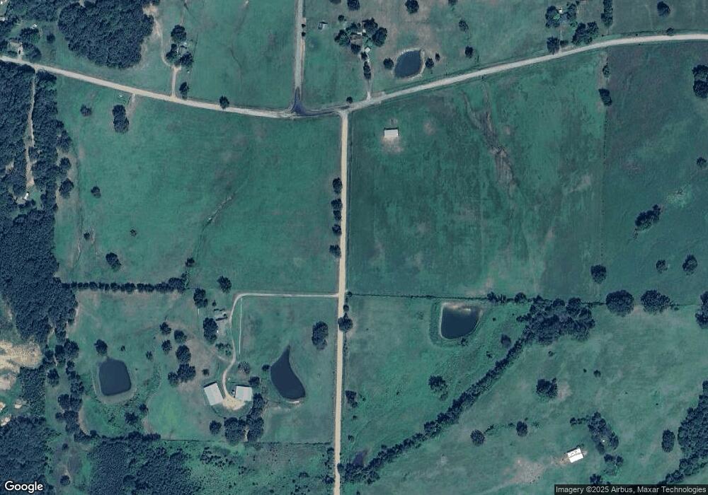
10300 Mattie Rd Mulberry, AR 72947
Estimated Value: $176,000 - $310,009
--
Bed
2
Baths
1,708
Sq Ft
$142/Sq Ft
Est. Value
About This Home
This home is located at 10300 Mattie Rd, Mulberry, AR 72947 and is currently estimated at $243,005, approximately $142 per square foot. 10300 Mattie Rd is a home located in Franklin County with nearby schools including Marvin Primary School, Pleasant View Junior High School, and Mulberry High School.
Ownership History
Date
Name
Owned For
Owner Type
Purchase Details
Closed on
Dec 17, 2013
Sold by
Jennifer Lin Jennifer Lin and Williams Jennifer Lin
Bought by
Williams Phillip Edward
Current Estimated Value
Home Financials for this Owner
Home Financials are based on the most recent Mortgage that was taken out on this home.
Original Mortgage
$136,000
Outstanding Balance
$102,723
Interest Rate
4.48%
Mortgage Type
Purchase Money Mortgage
Estimated Equity
$140,282
Purchase Details
Closed on
Feb 2, 1996
Bought by
Fisher and Williams
Purchase Details
Closed on
Oct 18, 1994
Bought by
Lacey and Fisher
Create a Home Valuation Report for This Property
The Home Valuation Report is an in-depth analysis detailing your home's value as well as a comparison with similar homes in the area
Home Values in the Area
Average Home Value in this Area
Purchase History
| Date | Buyer | Sale Price | Title Company |
|---|---|---|---|
| Williams Phillip Edward | -- | -- | |
| Fisher | $35,000 | -- | |
| Lacey | -- | -- |
Source: Public Records
Mortgage History
| Date | Status | Borrower | Loan Amount |
|---|---|---|---|
| Open | Williams Phillip Edward | $136,000 |
Source: Public Records
Tax History Compared to Growth
Tax History
| Year | Tax Paid | Tax Assessment Tax Assessment Total Assessment is a certain percentage of the fair market value that is determined by local assessors to be the total taxable value of land and additions on the property. | Land | Improvement |
|---|---|---|---|---|
| 2024 | $1,165 | $39,410 | $3,370 | $36,040 |
| 2023 | $1,172 | $39,410 | $3,370 | $36,040 |
| 2022 | $1,153 | $39,410 | $3,370 | $36,040 |
| 2021 | $981 | $39,410 | $3,370 | $36,040 |
| 2020 | $917 | $28,200 | $2,620 | $25,580 |
| 2019 | $916 | $28,200 | $2,620 | $25,580 |
| 2018 | $940 | $28,200 | $2,620 | $25,580 |
| 2017 | $885 | $28,200 | $2,620 | $25,580 |
| 2016 | $828 | $25,730 | $1,415 | $24,315 |
| 2015 | $772 | $24,489 | $1,332 | $23,157 |
| 2013 | -- | $25,270 | $1,640 | $23,630 |
Source: Public Records
Map
Nearby Homes
- 101 Reynolds St
- 1046 Pleasant Hill Rd
- 770 Church Ave
- 519 Church Ave
- 7309 Hickory Ridge Rd
- 206 W 5th St
- 210 W 2nd St
- 10117 Beth Lynn Rd
- 5527 Wire Rd
- 9643 Wire Rd
- 001 Gin Town Rd
- 206 & 216 W 5th St
- TBD Duncan Rd
- 6621 Arkansas 215
- TBD Mulberry Wire Rd
- TBD (lot 30) Keystone Dr
- TBD (lot 29) Keystone Dr
- 2034 Mulberry Wire Rd
- 2150 Old Graphic St
- TBD Scenic View Rd
- 8916 Old Highway Rd
- 9104 Old Highway Rd
- 9151 W Highway 64
- 9145 W Highway 64
- 10409 Mattie Rd
- 9111 W Highway 64
- 10427 Mattie Rd
- 9045 W Highway 64
- 9023 W Highway 64
- 8801 Jordan Ln
- 9341 W Highway 64
- 10243 Mattie Rd
- 10243 Mattie Rd
- 9431 W Highway 64
- 0 Highway 64 Unit 1103767
- 0 Highway 64 Unit 1053224
- 9314 W Highway 64
- 9236 W Highway 64
- 8701 Jordan Ln
- 9208 W Highway 64
