10300 NE 192nd Ave Brush Prairie, WA 98606
Estimated Value: $1,179,452 - $1,336,000
3
Beds
3
Baths
2,603
Sq Ft
$487/Sq Ft
Est. Value
About This Home
This home is located at 10300 NE 192nd Ave, Brush Prairie, WA 98606 and is currently estimated at $1,266,817, approximately $486 per square foot. 10300 NE 192nd Ave is a home located in Clark County with nearby schools including Hockinson Middle School and Hockinson High School.
Ownership History
Date
Name
Owned For
Owner Type
Purchase Details
Closed on
Jul 13, 2013
Sold by
Egbert Dale E B and Egbert Patricia L
Bought by
Earle Egbert Patricia Lynn and Earle Bud Egbert Dale
Current Estimated Value
Purchase Details
Closed on
Mar 2, 2005
Sold by
Peters John and Peters Nicki
Bought by
Egbert Dale E B and Egbert Patricia L
Purchase Details
Closed on
Dec 29, 1997
Sold by
Horal Lila M
Bought by
Mcgraw Michael E and Mcgraw Lynn L
Create a Home Valuation Report for This Property
The Home Valuation Report is an in-depth analysis detailing your home's value as well as a comparison with similar homes in the area
Home Values in the Area
Average Home Value in this Area
Purchase History
| Date | Buyer | Sale Price | Title Company |
|---|---|---|---|
| Earle Egbert Patricia Lynn | -- | None Available | |
| Egbert Dale E B | $225,000 | Chicago Title Insurance | |
| Mcgraw Michael E | -- | First American Title Ins Co | |
| Peters John | -- | First American Title Ins Co |
Source: Public Records
Tax History Compared to Growth
Tax History
| Year | Tax Paid | Tax Assessment Tax Assessment Total Assessment is a certain percentage of the fair market value that is determined by local assessors to be the total taxable value of land and additions on the property. | Land | Improvement |
|---|---|---|---|---|
| 2025 | $4,887 | $1,021,226 | $570,421 | $450,805 |
| 2024 | $4,346 | $1,023,841 | $570,421 | $453,420 |
| 2023 | $4,215 | $991,357 | $554,680 | $436,677 |
| 2022 | $3,885 | $880,877 | $471,593 | $409,284 |
| 2021 | $3,856 | $738,140 | $404,685 | $333,455 |
| 2020 | $3,610 | $695,934 | $383,517 | $312,417 |
| 2019 | $3,561 | $616,479 | $329,954 | $286,525 |
| 2018 | $4,027 | $347,296 | $0 | $0 |
| 2017 | $3,594 | $306,153 | $0 | $0 |
| 2016 | $1,663 | $294,580 | $0 | $0 |
| 2015 | $3,238 | $250,280 | $0 | $0 |
| 2014 | -- | $243,902 | $0 | $0 |
| 2013 | -- | $209,300 | $0 | $0 |
Source: Public Records
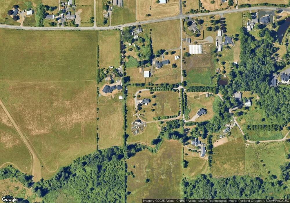
Map
Nearby Homes
- 10808 NE 192nd Ave
- 0 NE 197th Ave
- 11600 NE 188th Ct
- 10025 NE Ward Rd
- 20401 NE 116th Cir
- 18206 NE 87th Way
- 13509 NE 87th Way Unit Lot 157
- 8706 NE 182nd Place
- 8614 NE 183rd Place
- 8702 NE 182nd Place
- 9115 NE 168th Ct
- 8303 NE 174th Ave
- 17301 NE 84th St
- 9524 NE 166th Ave
- 18505 NE 78th Way
- 8205 NE 174th Ave
- 17207 NE 84th St
- 17311 NE 83rd St
- 17210 NE 83rd St
- 8115 NE 174th Ave
- 18905 NE Davis Rd
- 19130 NE Davis Rd
- 10301 NE 192nd Ave
- 10201 NE 192nd Ave
- 19007 NE Davis Rd
- 19205 NE Davis Rd
- 10309 NE 192nd Ave
- 18904 NE Davis Rd
- 19307 NE Davis Rd
- 18716 NE Davis Rd
- 10801 NE 192nd Ave
- 19609 NE Davis Rd
- 18700 NE Davis Rd
- 19407 NE Davis Rd
- 10807 NE 192nd Ave
- 19308 NE Davis Rd
- 18900 NE Davis Rd
- 12402 NE 109th St
- 12326 NE 109th St
- 12521 NE 109th St