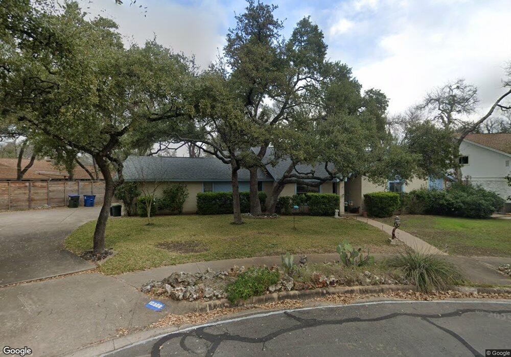
10302 Trogon Ct Austin, TX 78750
Anderson Mill NeighborhoodEstimated Value: $495,000 - $526,000
About This Home
This home is located at 10302 Trogon Ct, Austin, TX 78750 and is currently estimated at $514,300, approximately $180 per square foot. 10302 Trogon Ct is a home located in Williamson County with nearby schools including Anderson Mill Elementary School, Noel Grisham Middle, and Westwood High School.
Ownership History
We collect this data history from publicly available records. To have your information removed, we recommend requesting removal directly through your county’s website.
Purchase Details
Home Values in the Area
Average Home Value in this Area
Purchase History
We collect this data history from publicly available records. To have your information removed, we recommend requesting removal directly through your county’s website.
| Date | Buyer | Sale Price | Title Company |
|---|---|---|---|
| -- | None Listed On Document |
Mortgage History
We collect this data history from publicly available records. To have your information removed, we recommend requesting removal directly through your county’s website.
| Date | Status | Borrower | Loan Amount |
|---|---|---|---|
| Closed | $871,500 | ||
| Closed | $300,240 |
Tax History
We collect this data history from publicly available records. To have your information removed, we recommend requesting removal directly through your county’s website.
| Year | Tax Paid | Tax Assessment Tax Assessment Total Assessment is a certain percentage of the fair market value that is determined by local assessors to be the total taxable value of land and additions on the property. | Land | Improvement |
|---|---|---|---|---|
| 2025 | $2,526 | $477,717 | $88,500 | $389,217 |
| 2024 | $2,609 | $478,203 | $88,500 | $389,703 |
| 2023 | $2,518 | $444,688 | $0 | $0 |
| 2022 | $8,680 | $404,262 | $0 | $0 |
| 2021 | $9,029 | $367,511 | $72,000 | $338,241 |
| 2020 | $7,949 | $334,101 | $66,598 | $267,503 |
| 2019 | $8,131 | $332,413 | $60,700 | $271,713 |
| 2018 | $3,944 | $315,482 | $54,891 | $260,591 |
| 2017 | $7,704 | $308,644 | $51,300 | $286,250 |
| 2016 | $7,003 | $280,585 | $51,300 | $234,647 |
| 2015 | $3,864 | $255,077 | $42,100 | $218,634 |
| 2014 | $3,864 | $231,888 | $0 | $0 |
Map
- 11913 Millwright Pkwy
- 11817 Millwright Pkwy
- 10243 Missel Thrush Dr
- 10504 Hard Rock Rd
- 12006 Swallow Dr
- 10504 Wagon Gap Dr
- 10070 Woodland Village Dr
- 12107 Scissortail Dr
- 12108 Jill Sue Ct
- 12210 Waxwing Cir
- 10417 Firethorn Ln
- 9911 Anderson Mill Rd
- 11602 Crosstimber Dr
- 1003 Solano Dr Unit 1336AR
- 11512 Tin Cup Dr Unit 201
- 13604 Caldwell Dr Unit 15
- 1026 Verbena Dr
- 11503 Dosshills Dr
- 11310 Spicewood Club Dr Unit 19
- 12007 Grey Rock Ln
- 10300 Trogon Ct
- 10307 Mourning Dove Dr
- 10305 Mourning Dove Dr
- 10303 Mourning Dove Dr
- 10301 Mourning Dove Dr
- 10304 Trogon Ct
- 11904 Millwright Pkwy
- 10303 Trogon Ct
- 10403 Mourning Dove Dr
- 11909 Millwright Pkwy
- 11911 Millwright Pkwy
- 10308 Mourning Dove Dr
- 10304 Mourning Dove Dr
- 10306 Mourning Dove Dr
- 10300 Mourning Dove Dr
- 10302 Mourning Dove Cir
- 10302 Mourning Dove Dr
- 10400 Mourning Dove Dr
- 10300 Mourning Dove Cir
- 11900 Millwright Pkwy
Ask me questions while you tour the home.