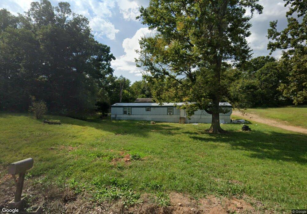
10304 N Cedar St Butterfield, MO 65625
Estimated Value: $132,000 - $163,000
1
Bed
1
Bath
726
Sq Ft
$202/Sq Ft
Est. Value
About This Home
This home is located at 10304 N Cedar St, Butterfield, MO 65625 and is currently estimated at $147,000, approximately $202 per square foot. 10304 N Cedar St is a home located in Barry County with nearby schools including Eunice Thomas Elementary School, Cassville Intermediate School, and Cassville Middle School.
Ownership History
Date
Name
Owned For
Owner Type
Purchase Details
Closed on
Apr 8, 2025
Sold by
Hunter Jd and Hunter Ashley
Bought by
Hunter Trisha
Current Estimated Value
Purchase Details
Closed on
Nov 28, 2022
Sold by
Hunter Steven and Hunter Trisha
Bought by
Hunter Jd
Purchase Details
Closed on
May 25, 2022
Sold by
H & H Real Estate Llc
Bought by
Hunter Steven and Hunter Trisha
Purchase Details
Closed on
May 16, 2022
Sold by
Jarrod Henbest
Bought by
H & H Real Estate Llc
Create a Home Valuation Report for This Property
The Home Valuation Report is an in-depth analysis detailing your home's value as well as a comparison with similar homes in the area
Home Values in the Area
Average Home Value in this Area
Purchase History
| Date | Buyer | Sale Price | Title Company |
|---|---|---|---|
| Hunter Trisha | $62,000 | -- | |
| Hunter Trisha | $62,000 | -- | |
| Hunter Jd | -- | Barry County Abstract & Title | |
| Hunter Steven | -- | Barry County Abstract & Title | |
| H & H Real Estate Llc | -- | Barry County Abstract & Title |
Source: Public Records
Tax History Compared to Growth
Tax History
| Year | Tax Paid | Tax Assessment Tax Assessment Total Assessment is a certain percentage of the fair market value that is determined by local assessors to be the total taxable value of land and additions on the property. | Land | Improvement |
|---|---|---|---|---|
| 2025 | $3,009 | $12,673 | $1,824 | $10,849 |
| 2024 | $674 | $11,704 | $1,824 | $9,880 |
| 2023 | $471 | $8,626 | $1,824 | $6,802 |
| 2022 | $499 | $7,961 | $1,159 | $6,802 |
| 2021 | $504 | $7,961 | $1,159 | $6,802 |
| 2020 | $504 | $7,961 | $1,159 | $6,802 |
| 2018 | $492 | $7,961 | $1,159 | $6,802 |
| 2017 | $488 | $7,961 | $1,159 | $6,802 |
| 2016 | $466 | $7,182 | $1,007 | $6,175 |
| 2015 | -- | $7,182 | $1,007 | $6,175 |
| 2014 | -- | $7,163 | $1,007 | $6,156 |
| 2012 | -- | $0 | $0 | $0 |
Source: Public Records
Map
Nearby Homes
- 10106 N Maple St
- 10607 N Maple St
- 10607 N Maple
- 10603 N Main St
- 000-B Farm Road 1090
- 000-C Farm Road 1090
- 000-A Farm Road 1090
- 14792 State Highway 37
- 13915 Farm Road 1115
- 000 Farm Road 2140
- 15223 State Highway 37
- 129 Robinhood Dr
- 3110 Main St
- 303 Melton Way
- 1408 Nottingham Dr
- 1421 Oakhill Dr
- 000 Luney Dr
- 1605 N Main St
- 000 Farm Road 2085
- 11295 Farm Road 2085
- 404 Cedar St
- 10400 N Cedar Dr
- 10401 N Cedar Dr
- 10404 E 5th St
- 10404 N Cedar St
- 10206 N Cedar Dr
- 1051 Cedar St
- 10306 E 5th St
- 10106 N Cedar Dr
- 10304 5th St
- 10508 N Chestnut St
- 10301 E 5th St
- 10397 E 5th St
- 10505 N Chestnut St
- 10203 E 5th St
- 10202 E 5th St
- 10201 E 5th St
- 10404 E 7th St
- 10203 E 1st St
- 10302 Maple St