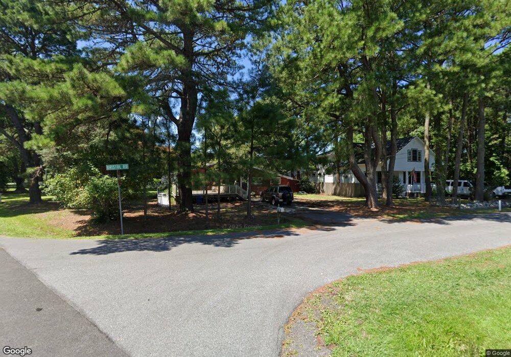
10305 Bristol Rd Ocean City, MD 21842
West Ocean City NeighborhoodEstimated Value: $358,146 - $460,000
--
Bed
1
Bath
1,560
Sq Ft
$270/Sq Ft
Est. Value
About This Home
This home is located at 10305 Bristol Rd, Ocean City, MD 21842 and is currently estimated at $421,537, approximately $270 per square foot. 10305 Bristol Rd is a home located in Worcester County with nearby schools including Ocean City Elementary School, Stephen Decatur Middle School, and Berlin Intermediate School.
Ownership History
Date
Name
Owned For
Owner Type
Purchase Details
Closed on
Jun 18, 2002
Sold by
Kennett Edwin H
Bought by
Harman Charles
Current Estimated Value
Purchase Details
Closed on
Jun 1, 2001
Sold by
Brittingham Edna H
Bought by
Kennett Edwin H
Purchase Details
Closed on
Jun 8, 1995
Sold by
Wilson Brittingham
Bought by
Brittingham Edna H and Life For
Create a Home Valuation Report for This Property
The Home Valuation Report is an in-depth analysis detailing your home's value as well as a comparison with similar homes in the area
Home Values in the Area
Average Home Value in this Area
Purchase History
| Date | Buyer | Sale Price | Title Company |
|---|---|---|---|
| Harman Charles | $104,000 | -- | |
| Kennett Edwin H | -- | -- | |
| Brittingham Edna H | -- | -- |
Source: Public Records
Mortgage History
| Date | Status | Borrower | Loan Amount |
|---|---|---|---|
| Closed | Harman Charles | -- |
Source: Public Records
Tax History Compared to Growth
Tax History
| Year | Tax Paid | Tax Assessment Tax Assessment Total Assessment is a certain percentage of the fair market value that is determined by local assessors to be the total taxable value of land and additions on the property. | Land | Improvement |
|---|---|---|---|---|
| 2025 | $2,679 | $331,800 | $131,900 | $199,900 |
| 2024 | $2,679 | $281,233 | $0 | $0 |
| 2023 | $2,198 | $230,667 | $0 | $0 |
| 2022 | $1,716 | $180,100 | $100,800 | $79,300 |
| 2021 | $1,601 | $167,333 | $0 | $0 |
| 2020 | $1,479 | $154,567 | $0 | $0 |
| 2019 | $1,357 | $141,800 | $100,800 | $41,000 |
| 2018 | $1,320 | $140,367 | $0 | $0 |
| 2017 | $1,316 | $138,933 | $0 | $0 |
| 2016 | $1,302 | $137,500 | $0 | $0 |
| 2015 | $1,219 | $137,500 | $0 | $0 |
| 2014 | $1,219 | $137,500 | $0 | $0 |
Source: Public Records
Map
Nearby Homes
- 10312 Bristol Rd
- 12602 Balte Rd
- 12624 Balte Rd
- 10242 Keyser Point Rd
- 12542 Torquay Rd
- 12516 W Torquay Rd
- 0 W Torquay Rd
- 12525 Fleetway Dr
- 10332 Walthan Rd
- 10352 Keyser Point Rd
- Lot 3 Windsor Rd
- 10305 Turtle Ct
- Lot A Salisbury Rd
- 12524 Salisbury Rd
- 0 Keyser Point Rd Unit MDWO118100
- 10333 Tudor Rd
- 10288 Broken Sound Blvd
- 12716 Whisper Trace Dr
- 10429 Brighton Rd
- 10427 New Quay Rd
- 10307 Bristol Rd
- 10306 Bristol Rd
- 12610 Balte Rd
- 12618 Balte Rd
- 12614 Balte Rd
- 10311 Bristol Rd
- 12621 Balte Rd
- 10304 Keyser Point Rd
- 12606 Balte Rd
- 10308 Keyser Point Rd
- 10310 Keyser Point Rd
- 10308 Bristol Rd
- 10254 Keyser Point Rd
- 10313 Bristol Rd
- 10310 Bristol Rd
- 12604 Balte Rd
- 12620 Balte Rd
- 10313 Leeds Rd
- 10314 Keyser Point Rd
- Lot 10 Leeds Rd