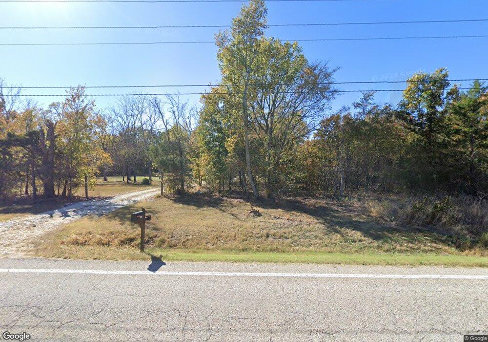
10305 Highway 392 W Harrison, AR 72601
Estimated Value: $273,000 - $349,000
3
Beds
2
Baths
1,648
Sq Ft
$185/Sq Ft
Est. Value
About This Home
This home is located at 10305 Highway 392 W, Harrison, AR 72601 and is currently estimated at $305,039, approximately $185 per square foot. 10305 Highway 392 W is a home located in Boone County with nearby schools including Alpena Elementary School and Alpena High School.
Ownership History
Date
Name
Owned For
Owner Type
Purchase Details
Closed on
Jul 28, 2021
Sold by
Ricketts Jeffrey S and Ricketts Catherine L
Bought by
Price Bryan Keith
Current Estimated Value
Home Financials for this Owner
Home Financials are based on the most recent Mortgage that was taken out on this home.
Original Mortgage
$195,000
Outstanding Balance
$177,013
Interest Rate
2.93%
Mortgage Type
New Conventional
Estimated Equity
$128,026
Purchase Details
Closed on
Feb 12, 2004
Bought by
May Trst
Create a Home Valuation Report for This Property
The Home Valuation Report is an in-depth analysis detailing your home's value as well as a comparison with similar homes in the area
Home Values in the Area
Average Home Value in this Area
Purchase History
| Date | Buyer | Sale Price | Title Company |
|---|---|---|---|
| Price Bryan Keith | $232,000 | First National Title | |
| May Trst | -- | -- |
Source: Public Records
Mortgage History
| Date | Status | Borrower | Loan Amount |
|---|---|---|---|
| Open | Price Bryan Keith | $195,000 |
Source: Public Records
Tax History Compared to Growth
Tax History
| Year | Tax Paid | Tax Assessment Tax Assessment Total Assessment is a certain percentage of the fair market value that is determined by local assessors to be the total taxable value of land and additions on the property. | Land | Improvement |
|---|---|---|---|---|
| 2025 | $1,009 | $26,210 | $3,190 | $23,020 |
| 2024 | $967 | $26,210 | $3,190 | $23,020 |
| 2023 | $925 | $26,210 | $3,190 | $23,020 |
| 2022 | $553 | $26,210 | $3,190 | $23,020 |
| 2021 | $971 | $26,210 | $3,190 | $23,020 |
| 2020 | $876 | $21,460 | $3,190 | $18,270 |
| 2019 | $160 | $3,190 | $3,190 | $0 |
| 2018 | $143 | $3,190 | $3,190 | $0 |
| 2017 | $100 | $3,190 | $3,190 | $0 |
| 2016 | $91 | $3,190 | $3,190 | $0 |
| 2015 | $83 | $2,120 | $2,120 | $0 |
| 2014 | $83 | $2,120 | $2,120 | $0 |
Source: Public Records
Map
Nearby Homes
- 0 Dunkard Rd
- 1989 Patton Ln
- 118 Lick Branch Rd
- 0000 Hwy 392
- 0 Hwy 392 Unit 1313787
- 2259 Ledge Rock Rd
- 0 Old Capps Rd
- 2691 Old Mountain Dr
- 350 Devitos Loop
- 1788 Cody Ct
- 1567 Goff (Lot 28) Rd
- 1669 Goff (Lot 27) Rd
- 1959 Henley (Lot 3) Dr
- 1739 Goff (Lot 26) Rd
- 1712 Sierra Ct
- 4510 Starlite Dr
- 112 S Center St
- 101 E Hill St
- Lot 14 Lela - Lot 14 Ct
- Lot 13 Lela - Lot 13 Ct
- 10305 W 392 Hwy
- 10305 Arkansas 392
- 10159 Highway 392 W
- 1101 Dunkard Ct
- 1101 Dunkard Rd
- 10218 Highway 392 W
- 10192 Highway 392 W
- 8540 Dunkard Rd
- 1100 Dunkard Ct
- 8680 Dunkard Rd
- 1174 Dunkard Ct
- 1158 Dunkard Ct
- 8588 Wind Rock Ln
- 8228 Wind Rock Ln
- 1097 Oakwood Ct
- 10049 Highway 392 W
- 10052 Highway 392 W
- 1001 Oakwood Ct
- 1165 Oakwood Ct
- 10671 Arkansas 392