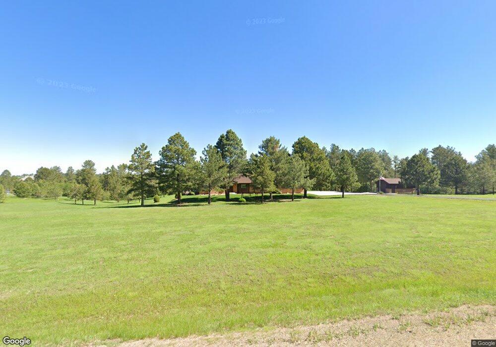
10307 Deerfield Rd Franktown, CO 80116
Estimated Value: $931,000 - $1,128,000
3
Beds
3
Baths
4,250
Sq Ft
$235/Sq Ft
Est. Value
About This Home
This home is located at 10307 Deerfield Rd, Franktown, CO 80116 and is currently estimated at $1,000,300, approximately $235 per square foot. 10307 Deerfield Rd is a home located in Douglas County with nearby schools including Franktown Elementary School, Sagewood Middle School, and Ponderosa High School.
Ownership History
Date
Name
Owned For
Owner Type
Purchase Details
Closed on
Aug 27, 2012
Sold by
Larson Ramona Mae and Larsin Donald L
Bought by
Frank E & Linda L Anthony Trust
Current Estimated Value
Purchase Details
Closed on
Jul 7, 1994
Sold by
Larson Ramona Mae and Larson Donald L
Bought by
Ramona Mae Larson Rev Trust Dtd Aug 7 19
Purchase Details
Closed on
Jul 1, 1994
Sold by
Larson Ramona Mae and Larson Donald L
Bought by
Larson Ramona Mae and Larson Donald L
Purchase Details
Closed on
Jun 6, 1994
Sold by
Larson Ramona Mae and Larson Donald L
Bought by
Larson Ramona Mae and Larson Donald L
Purchase Details
Closed on
Mar 1, 1984
Sold by
Scott Vernon M and Scott Shirley A
Bought by
Larson Donald L and Larson Ramona M
Create a Home Valuation Report for This Property
The Home Valuation Report is an in-depth analysis detailing your home's value as well as a comparison with similar homes in the area
Purchase History
| Date | Buyer | Sale Price | Title Company |
|---|---|---|---|
| Frank E & Linda L Anthony Trust | $415,000 | Fidelity National Title Insu | |
| Ramona Mae Larson Rev Trust Dtd Aug 7 19 | -- | -- | |
| Larson Ramona Mae | -- | -- | |
| Larson Ramona Mae | -- | -- | |
| Larson Donald L | $41,500 | -- |
Source: Public Records
Tax History
| Year | Tax Paid | Tax Assessment Tax Assessment Total Assessment is a certain percentage of the fair market value that is determined by local assessors to be the total taxable value of land and additions on the property. | Land | Improvement |
|---|---|---|---|---|
| 2025 | $5,186 | $60,290 | $33,030 | $27,260 |
| 2024 | $5,186 | $70,560 | $35,850 | $34,710 |
| 2023 | $5,244 | $70,560 | $35,850 | $34,710 |
| 2022 | $4,170 | $49,810 | $24,390 | $25,420 |
| 2021 | $4,321 | $49,810 | $24,390 | $25,420 |
| 2020 | $3,998 | $47,150 | $20,330 | $26,820 |
| 2019 | $4,017 | $47,150 | $20,330 | $26,820 |
| 2018 | $3,529 | $40,690 | $16,680 | $24,010 |
| 2017 | $3,201 | $39,640 | $16,680 | $22,960 |
| 2016 | $3,186 | $38,690 | $15,200 | $23,490 |
| 2015 | $1,629 | $38,690 | $15,200 | $23,490 |
| 2014 | $1,456 | $32,310 | $9,150 | $23,160 |
Source: Public Records
Map
Nearby Homes
- 11008 Sunset Oaks Place
- 11011 Sunset Oaks
- 11004 Sunset Oaks Place
- 230 S Big Meadow Trail
- 9162 Warriors Mark Dr
- 1579 Deerpath Rd
- 11584 E State Highway 86
- 104 Bill Davis Rd
- 8788 E Tanglewood Rd
- 10400 Pine Valley Dr
- 2130 Frontier Ln
- 1750 Arrowpoint Ct
- 1721 Arrowpoint Ct
- 1724 Arrowpoint Ct
- 2218 Deerpath Rd
- 856 Woodridge Rd
- 75 Evening Hunt Rd
- 9212 Tanglewood Rd
- 2379 Fox View Trail
- 10691 Tomichi Dr
- 971 N White Tail Dr
- 551 N White Tail Dr
- 825 N White Tail Dr
- 795 N White Tail Dr
- 468 Doe Cir
- 968 N White Tail Dr
- 767 N White Tail Dr
- 863 N White Tail Dr
- 417 Doe Cir
- 499 S White Tail Dr
- 10150 Deerfield Rd
- 826 N White Tail Dr
- 938 N White Tail Dr
- 770 N White Tail Dr
- 479 S White Tail Dr
- 575 N White Tail Dr
- 380 Doe Cir
- 876 N White Tail Dr
- 369 Doe Cir
- 715 N White Tail Dr Unit 1
Your Personal Tour Guide
Ask me questions while you tour the home.