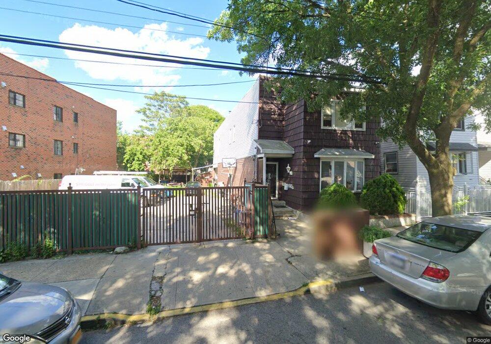
10309 91st St Jamaica, NY 11417
Ozone Park NeighborhoodEstimated Value: $252,470 - $1,133,000
--
Bed
--
Bath
--
Sq Ft
3,398
Sq Ft Lot
About This Home
This home is located at 10309 91st St, Jamaica, NY 11417 and is currently estimated at $559,868. 10309 91st St is a home located in Queens County with nearby schools including P.S. 63 - Old South, Robert H. Goddard High School, and Divine Mercy Catholic Academy.
Ownership History
Date
Name
Owned For
Owner Type
Purchase Details
Closed on
Dec 20, 2018
Sold by
Reyes As Surviving Spouse Pedro and Reyes Deceased
Bought by
103 And 91 Holding Corp
Current Estimated Value
Purchase Details
Closed on
Sep 16, 2011
Sold by
Gonzalo Safadi and Reyes Liliana
Bought by
Reyes Pedro and Reyes Teresa
Purchase Details
Closed on
Dec 28, 1999
Sold by
Delahunty Kevin Joseph and Delahunty Theresa A
Bought by
Delahunty Theresa A
Create a Home Valuation Report for This Property
The Home Valuation Report is an in-depth analysis detailing your home's value as well as a comparison with similar homes in the area
Home Values in the Area
Average Home Value in this Area
Purchase History
| Date | Buyer | Sale Price | Title Company |
|---|---|---|---|
| 103 And 91 Holding Corp | $199,975 | -- | |
| 103 And 91 Holding Corp | $199,975 | -- | |
| Reyes Pedro | -- | -- | |
| Reyes Pedro | -- | -- | |
| Delahunty Theresa A | -- | Titleserv | |
| Delahunty Theresa A | -- | Titleserv |
Source: Public Records
Tax History Compared to Growth
Tax History
| Year | Tax Paid | Tax Assessment Tax Assessment Total Assessment is a certain percentage of the fair market value that is determined by local assessors to be the total taxable value of land and additions on the property. | Land | Improvement |
|---|---|---|---|---|
| 2025 | $1,525 | $8,023 | $8,023 | -- |
| 2024 | $1,525 | $7,591 | $7,591 | -- |
| 2023 | $1,455 | $7,165 | $7,165 | $0 |
| 2022 | $1,430 | $18,840 | $18,840 | $0 |
| 2021 | $1,491 | $19,860 | $19,860 | $0 |
| 2020 | $1,415 | $20,880 | $20,880 | $0 |
| 2019 | $1,323 | $21,960 | $21,960 | $0 |
| 2018 | $1,217 | $5,971 | $5,971 | $0 |
| 2017 | $1,217 | $5,971 | $5,971 | $0 |
| 2016 | $1,180 | $5,971 | $5,971 | $0 |
| 2015 | $679 | $5,572 | $5,572 | $0 |
| 2014 | $679 | $5,272 | $5,272 | $0 |
Source: Public Records
Map
Nearby Homes
- 10159 92nd St
- 92-17 Liberty Ave
- 8915 102nd Rd
- 92-18 Liberty Ave
- 93-18 103rd Ave
- 10112 93rd St
- 87-16 Liberty Ave
- 105-39 88th St
- 105-47 88 St
- 88-02 102nd Ave
- 105-04 87th St
- 97-40 90th St
- 101-46 95th St
- 103-48 96th St
- 97-34 92nd St
- 107-20 92nd St
- 103-47 96th St
- 105-35 86th St
- 97-47 94th St
- 107-50 90th St
- 103-11 91st St Unit 2
- 103-11 91st St
- 10311 91st St
- 10315 91st St
- 103-15 91st St
- 10317 91st St
- 10305 91st St
- 10319 91st St
- 10303 91st St
- 10321 91st St
- 10316 92nd St
- 10325 91st St
- 10314 92nd St
- 10312 92nd St
- 9108 103rd Ave
- 9108 103rd Ave Unit 3
- 9108 103rd Ave Unit 2
- 9108 103rd Ave
- 103-25 91st St
- 10310 92nd St