10309 Robert Dula Ave Las Vegas, NV 89129
Lone Mountain NeighborhoodEstimated Value: $418,000 - $460,000
3
Beds
2
Baths
1,354
Sq Ft
$319/Sq Ft
Est. Value
About This Home
This home is located at 10309 Robert Dula Ave, Las Vegas, NV 89129 and is currently estimated at $431,907, approximately $318 per square foot. 10309 Robert Dula Ave is a home located in Clark County with nearby schools including Eileen Conners Elementary School, Justice Myron E Leavitt Middle School, and Centennial High School.
Ownership History
Date
Name
Owned For
Owner Type
Purchase Details
Closed on
Mar 9, 2022
Sold by
Morris E Baron And Marcia Baron Family T
Bought by
Fkh Sfr Propco J Lp
Current Estimated Value
Purchase Details
Closed on
Feb 19, 2013
Sold by
Baron Morris E and Baron Marcia
Bought by
Baron Morris E and Baron Marcia
Purchase Details
Closed on
Oct 20, 2001
Sold by
Bilt Perma
Bought by
Baron Morris E and Baron Marcia
Home Financials for this Owner
Home Financials are based on the most recent Mortgage that was taken out on this home.
Original Mortgage
$98,000
Interest Rate
6.87%
Create a Home Valuation Report for This Property
The Home Valuation Report is an in-depth analysis detailing your home's value as well as a comparison with similar homes in the area
Home Values in the Area
Average Home Value in this Area
Purchase History
| Date | Buyer | Sale Price | Title Company |
|---|---|---|---|
| Fkh Sfr Propco J Lp | $435,900 | First Integrity Title | |
| Baron Morris E | -- | None Available | |
| Baron Morris E | $157,071 | Land Title |
Source: Public Records
Mortgage History
| Date | Status | Borrower | Loan Amount |
|---|---|---|---|
| Previous Owner | Baron Morris E | $98,000 |
Source: Public Records
Tax History Compared to Growth
Tax History
| Year | Tax Paid | Tax Assessment Tax Assessment Total Assessment is a certain percentage of the fair market value that is determined by local assessors to be the total taxable value of land and additions on the property. | Land | Improvement |
|---|---|---|---|---|
| 2025 | $1,893 | $95,032 | $36,400 | $58,632 |
| 2024 | $1,753 | $95,032 | $36,400 | $58,632 |
| 2023 | $1,753 | $90,446 | $35,000 | $55,446 |
| 2022 | $1,623 | $82,525 | $31,850 | $50,675 |
| 2021 | $1,408 | $77,219 | $29,050 | $48,169 |
| 2020 | $1,362 | $77,222 | $29,400 | $47,822 |
| 2019 | $1,414 | $69,161 | $22,050 | $47,111 |
| 2018 | $1,373 | $63,900 | $18,550 | $45,350 |
| 2017 | $2,033 | $61,606 | $16,100 | $45,506 |
| 2016 | $1,301 | $53,585 | $14,000 | $39,585 |
| 2015 | $1,298 | $46,429 | $10,500 | $35,929 |
| 2014 | $1,260 | $40,364 | $8,750 | $31,614 |
Source: Public Records
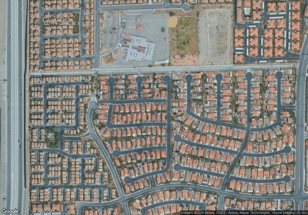
Map
Nearby Homes
- 10332 George Hart Ct
- 10321 George Hart Ct
- 10333 Marc Kahre Ave
- 10400 Coyote Cub Ave
- 10429 Chandra Ave
- 10413 Cole Younger Ct
- 10404 Coyote Cub Ave
- 10304 Crystal Arch Ave
- 10134 Clark Wooldridge Ct Unit 8
- 10372 Pink Cloud Ct
- 3908 Badgerbrook St
- 3915 Palm Beach St Unit 201
- 3832 Ormond Beach St Unit 104
- 10221 Delray Beach Ave Unit 102
- 10221 Delray Beach Ave Unit 201
- 3920 Legend Hills St Unit 202
- 3925 Legend Hills St Unit 102
- 3528 Mountain Park St
- 3815 Juno Beach St Unit 203
- 3935 Legend Hills St Unit 104
- 10305 Robert Dula Ave
- 10313 Robert Dula Ave Unit 12
- 10308 William Fortye Ave
- 10312 William Forte Ave
- 10301 Robert Dula Ave
- 10317 Robert Dula Ave Unit 12
- 10312 William Fortye Ave
- 10304 William Fortye Ave
- 3720 Robert McGuire Ct Unit 12
- 10316 William Fortye Ave Unit 10
- 10300 William Fortye Ave
- 10304 Robert Dula Ave
- 10321 Robert Dula Ave
- 10300 Robert Dula Ave
- 10320 William Fortye Ave
- 3724 Robert McGuire Ct
- 10325 Robert Dula Ave
- 10324 William Fortye Ave Unit 10
- 3728 Robert McGuire Ct Unit 12
- 3729 James Slagle St Unit 12