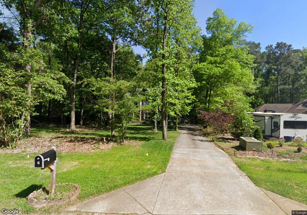
10309 Rutledge Ct Waxhaw, NC 28173
Estimated Value: $542,000 - $893,000
4
Beds
4
Baths
3,610
Sq Ft
$181/Sq Ft
Est. Value
About This Home
This home is located at 10309 Rutledge Ct, Waxhaw, NC 28173 and is currently estimated at $652,638, approximately $180 per square foot. 10309 Rutledge Ct is a home located in Union County with nearby schools including Waxhaw Elementary School, Parkwood Middle School, and Parkwood High School.
Ownership History
Date
Name
Owned For
Owner Type
Purchase Details
Closed on
Jul 9, 2004
Sold by
Blue Sky Properties Of N Carolina Inc
Bought by
Mcguire Tim W and Mcguire Renae M
Current Estimated Value
Home Financials for this Owner
Home Financials are based on the most recent Mortgage that was taken out on this home.
Original Mortgage
$211,500
Outstanding Balance
$112,664
Interest Rate
6.24%
Mortgage Type
Unknown
Estimated Equity
$539,974
Purchase Details
Closed on
Jan 15, 2004
Sold by
Crothers William Randolph and Crothers Buff Harrison
Bought by
Blue Sky Properties Of N Carolina Inc
Purchase Details
Closed on
Dec 31, 2003
Sold by
Blue Sky Properties Of Nc Llc
Bought by
Crothers William Randolph and Crothers Buff Harrison
Purchase Details
Closed on
Oct 1, 2002
Sold by
Frick Douglas G and Frick Judy S
Bought by
Blue Sky Properties Of N Carolina Llc
Create a Home Valuation Report for This Property
The Home Valuation Report is an in-depth analysis detailing your home's value as well as a comparison with similar homes in the area
Home Values in the Area
Average Home Value in this Area
Purchase History
| Date | Buyer | Sale Price | Title Company |
|---|---|---|---|
| Mcguire Tim W | $38,000 | -- | |
| Blue Sky Properties Of N Carolina Inc | -- | -- | |
| Crothers William Randolph | -- | -- | |
| Blue Sky Properties Of N Carolina Llc | $494,000 | -- |
Source: Public Records
Mortgage History
| Date | Status | Borrower | Loan Amount |
|---|---|---|---|
| Open | Mcguire Tim W | $211,500 |
Source: Public Records
Tax History Compared to Growth
Tax History
| Year | Tax Paid | Tax Assessment Tax Assessment Total Assessment is a certain percentage of the fair market value that is determined by local assessors to be the total taxable value of land and additions on the property. | Land | Improvement |
|---|---|---|---|---|
| 2024 | $2,396 | $374,200 | $49,500 | $324,700 |
| 2023 | $2,357 | $374,200 | $49,500 | $324,700 |
| 2022 | $2,357 | $374,200 | $49,500 | $324,700 |
| 2021 | $2,351 | $374,200 | $49,500 | $324,700 |
| 2020 | $2,108 | $269,000 | $36,100 | $232,900 |
| 2019 | $2,113 | $269,000 | $36,100 | $232,900 |
| 2018 | $2,113 | $269,000 | $36,100 | $232,900 |
| 2017 | $2,212 | $269,000 | $36,100 | $232,900 |
| 2016 | $2,158 | $269,000 | $36,100 | $232,900 |
| 2015 | $2,191 | $269,000 | $36,100 | $232,900 |
| 2014 | $1,876 | $267,130 | $54,900 | $212,230 |
Source: Public Records
Map
Nearby Homes
- 0 Rockwood Dr
- 4607 Ferguson Cir
- 1017 Cheviot Ct
- 3013 Whipcord Dr
- 1009 Cheviot Ct
- 3105 Deep River Way
- 2004 Whipcord Dr
- 1024 Gabardine Ln
- 3009 Lydney Cir
- 3038 Lydney Cir
- 2028 Cedar Falls Dr
- 3010 Cedar Falls Dr
- 8000 Millbridge Pkwy
- 1001 Linn Cove
- 4010 Cedar Falls Dr
- 1128 Piper Meadows St
- 5031 Lydney Cir
- 3025 Cedar Falls Dr
- 5026 Mclaughlin Loop
- Colfax Plan at Rone Creek
- 10311 Rutledge Ct
- 10307 Rutledge Ct
- 10313 Rutledge Ct
- 10303 Rutledge Ct
- 10308 Rutledge Ct
- 10314 Rutledge Ct
- 4504 Rockwood Dr
- 4508 Rockwood Dr
- 10310 Rutledge Ct
- 4500 Rockwood Dr
- 4512 Rockwood Dr
- 4516 Rockwood Dr
- 10304 Rutledge Ct
- 10321 Rutledge Ct
- 10319 Waxhaw Hwy
- 4507 Rockwood Dr
- 10315 Waxhaw Hwy
- 10325 Rutledge Ct
- 10324 Rutledge Ct
- 10323 Rutledge Ct