1031 35th St S Wisconsin Rapids, WI 54494
Estimated Value: $27,000 - $284,000
--
Bed
--
Bath
--
Sq Ft
0.93
Acres
About This Home
This home is located at 1031 35th St S, Wisconsin Rapids, WI 54494 and is currently estimated at $129,000. 1031 35th St S is a home located in Wood County with nearby schools including Washington Elementary School, Wisconsin Rapids Area Middle School, and East Junior High School.
Ownership History
Date
Name
Owned For
Owner Type
Purchase Details
Closed on
May 15, 2015
Sold by
Kelly J O'Day And Loretta M O'Day Family Revo
Bought by
Jacquelyn M La Chapelle Revocable Trust Dated
Current Estimated Value
Purchase Details
Closed on
May 1, 2008
Sold by
Oday Kelly J and Oday Loretta M
Bought by
Oday Kelly J and Oday Loretta M
Purchase Details
Closed on
May 1, 2006
Sold by
Oday John Bartholomew and Oday Anola Fae
Bought by
Day Kelly J O and Day Lorie M O
Home Financials for this Owner
Home Financials are based on the most recent Mortgage that was taken out on this home.
Original Mortgage
$14,054
Interest Rate
6.39%
Mortgage Type
Future Advance Clause Open End Mortgage
Create a Home Valuation Report for This Property
The Home Valuation Report is an in-depth analysis detailing your home's value as well as a comparison with similar homes in the area
Home Values in the Area
Average Home Value in this Area
Purchase History
| Date | Buyer | Sale Price | Title Company |
|---|---|---|---|
| Jacquelyn M La Chapelle Revocable Trust Dated | $3,100 | -- | |
| Oday Kelly J | -- | None Available | |
| Day Kelly J O | $13,100 | Boles Wallner Abstract & Tit |
Source: Public Records
Mortgage History
| Date | Status | Borrower | Loan Amount |
|---|---|---|---|
| Previous Owner | Day Kelly J O | $14,054 |
Source: Public Records
Tax History Compared to Growth
Tax History
| Year | Tax Paid | Tax Assessment Tax Assessment Total Assessment is a certain percentage of the fair market value that is determined by local assessors to be the total taxable value of land and additions on the property. | Land | Improvement |
|---|---|---|---|---|
| 2024 | $180 | $9,900 | $9,900 | $0 |
| 2023 | $179 | $9,900 | $9,900 | $0 |
| 2022 | $176 | $9,900 | $9,900 | $0 |
| 2021 | $170 | $9,900 | $9,900 | $0 |
| 2020 | $168 | $9,900 | $9,900 | $0 |
| 2019 | $60 | $3,000 | $3,000 | $0 |
| 2018 | $59 | $3,000 | $3,000 | $0 |
| 2017 | $56 | $3,000 | $3,000 | $0 |
| 2016 | $56 | $3,000 | $3,000 | $0 |
| 2015 | $53 | $3,000 | $3,000 | $0 |
Source: Public Records
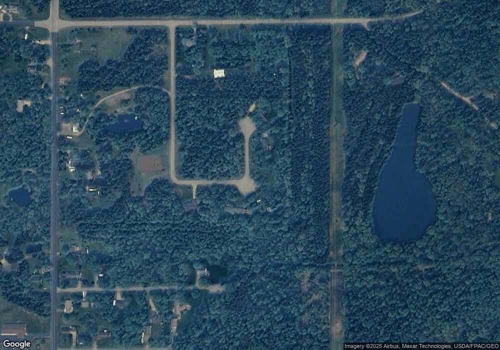
Map
Nearby Homes
- 1911 45th St S
- 1311 Snyder St
- 1220 Snyder St
- 1510 52nd St S
- 1611 52nd St S
- 921 16th St S
- 1421 16th St S
- 3020 Amundson St
- lot 3 23rd St N
- lot 2 23rd St N
- 321 18th St N
- 310 16th St S
- 1840/1850 Franklin St
- 2030 16th St S
- 221 17th St N
- 2120 16th St S
- 1061 14th St S
- 1820 & 1830 Baker Dr
- 460 17th St N
- 2011 26th St N