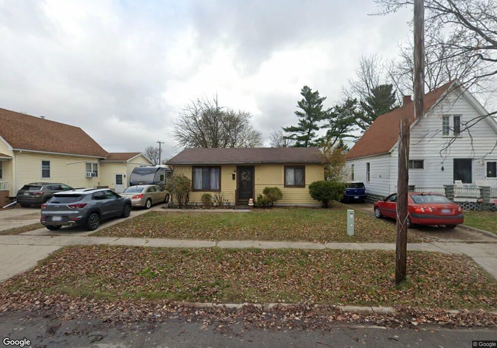
1031 Bancroft St Port Huron, MI 48060
Estimated Value: $85,000 - $134,000
2
Beds
1
Bath
816
Sq Ft
$137/Sq Ft
Est. Value
About This Home
This home is located at 1031 Bancroft St, Port Huron, MI 48060 and is currently estimated at $111,577, approximately $136 per square foot. 1031 Bancroft St is a home located in St. Clair County with nearby schools including Woodrow Wilson Elementary School, Central Middle School, and Port Huron High School.
Ownership History
Date
Name
Owned For
Owner Type
Purchase Details
Closed on
Jul 24, 2008
Sold by
Radtz James E and Radatz Angela C
Bought by
Citizens First Savings Bank Llc
Current Estimated Value
Create a Home Valuation Report for This Property
The Home Valuation Report is an in-depth analysis detailing your home's value as well as a comparison with similar homes in the area
Home Values in the Area
Average Home Value in this Area
Purchase History
| Date | Buyer | Sale Price | Title Company |
|---|---|---|---|
| Citizens First Savings Bank Llc | $70,000 | None Available |
Source: Public Records
Tax History Compared to Growth
Tax History
| Year | Tax Paid | Tax Assessment Tax Assessment Total Assessment is a certain percentage of the fair market value that is determined by local assessors to be the total taxable value of land and additions on the property. | Land | Improvement |
|---|---|---|---|---|
| 2025 | $1,442 | $44,900 | $0 | $0 |
| 2024 | $1,216 | $43,300 | $0 | $0 |
| 2023 | $1,151 | $39,400 | $0 | $0 |
| 2022 | $1,103 | $33,000 | $0 | $0 |
| 2021 | $1,054 | $27,900 | $0 | $0 |
| 2020 | $1,058 | $24,400 | $24,400 | $0 |
| 2019 | $1,039 | $16,200 | $0 | $0 |
| 2018 | $1,016 | $16,200 | $0 | $0 |
| 2017 | $934 | $15,300 | $0 | $0 |
| 2016 | $821 | $15,300 | $0 | $0 |
| 2015 | $824 | $15,200 | $15,200 | $0 |
| 2014 | $824 | $15,300 | $15,300 | $0 |
| 2013 | -- | $16,700 | $0 | $0 |
Source: Public Records
Map
Nearby Homes
- 1021 Bancroft St
- 1037 Bancroft St
- 1019 Bancroft St
- 1039 Bancroft St
- 1922 11th St
- 1026 Bancroft St
- 1034 Bancroft St
- 1916 11th St
- 1040 Bancroft St
- 1022 Bancroft St
- 1927 10th St
- 1032 Minnie St
- 1020 Bancroft St
- 2014 11th St
- 1040 Minnie St
- 1036 Minnie St
- 1929 11th St
- 1016 Bancroft St
- 1923 10th St
- 2003 11th St