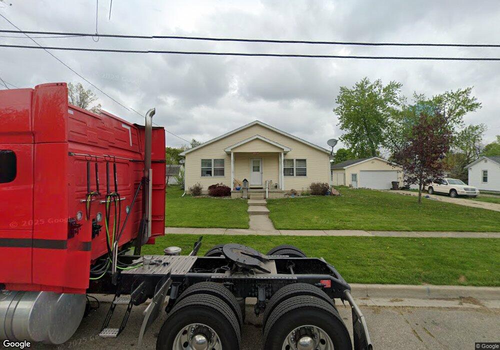
1031 Chestnut St Unit CHESTNUT ST Adrian, MI 49221
Estimated Value: $174,000 - $192,957
3
Beds
2
Baths
1,728
Sq Ft
$105/Sq Ft
Est. Value
About This Home
This home is located at 1031 Chestnut St Unit CHESTNUT ST, Adrian, MI 49221 and is currently estimated at $180,986, approximately $104 per square foot. 1031 Chestnut St Unit CHESTNUT ST is a home located in Lenawee County with nearby schools including Adrian High School, St. Joseph Academy, and St. Joseph's Academy.
Ownership History
Date
Name
Owned For
Owner Type
Purchase Details
Closed on
Apr 8, 2009
Sold by
Studnicka Steven
Bought by
Walker Amy
Current Estimated Value
Home Financials for this Owner
Home Financials are based on the most recent Mortgage that was taken out on this home.
Original Mortgage
$86,798
Outstanding Balance
$55,369
Interest Rate
5.11%
Mortgage Type
FHA
Estimated Equity
$125,617
Purchase Details
Closed on
Jan 17, 2008
Sold by
Keybank N A
Bought by
Studnicka Steven
Home Financials for this Owner
Home Financials are based on the most recent Mortgage that was taken out on this home.
Original Mortgage
$13,365
Interest Rate
5.95%
Mortgage Type
Purchase Money Mortgage
Create a Home Valuation Report for This Property
The Home Valuation Report is an in-depth analysis detailing your home's value as well as a comparison with similar homes in the area
Home Values in the Area
Average Home Value in this Area
Purchase History
| Date | Buyer | Sale Price | Title Company |
|---|---|---|---|
| Walker Amy | $88,400 | Prestige Title Insurance Age | |
| Studnicka Steven | -- | None Available |
Source: Public Records
Mortgage History
| Date | Status | Borrower | Loan Amount |
|---|---|---|---|
| Open | Walker Amy | $86,798 | |
| Previous Owner | Studnicka Steven | $13,365 |
Source: Public Records
Tax History Compared to Growth
Tax History
| Year | Tax Paid | Tax Assessment Tax Assessment Total Assessment is a certain percentage of the fair market value that is determined by local assessors to be the total taxable value of land and additions on the property. | Land | Improvement |
|---|---|---|---|---|
| 2025 | $3,375 | $93,000 | $0 | $0 |
| 2024 | $2,181 | $85,900 | $0 | $0 |
| 2023 | $2,780 | $78,500 | $0 | $0 |
| 2022 | $2,153 | $71,700 | $0 | $0 |
| 2021 | $2,113 | $65,900 | $0 | $0 |
| 2020 | $2,206 | $62,000 | $0 | $0 |
| 2019 | $135,950 | $55,500 | $0 | $0 |
| 2018 | $2,036 | $65,475 | $0 | $0 |
| 2017 | $2,038 | $54,224 | $0 | $0 |
| 2016 | $1,956 | $48,284 | $0 | $0 |
| 2014 | -- | $49,500 | $0 | $0 |
Source: Public Records
Map
Nearby Homes
- 1031 Chestnut St
- 1027 Chestnut St
- 1043 Chestnut St
- 721 Addison St
- 1032 Bristol St
- 1038 Bristol St
- 1038 Bristol St
- 1021 Chestnut St
- 1026 Bristol St
- 1020 Bristol St
- 1050 Bristol St
- 625 Addison St
- 1036 Chestnut St
- 1032 Chestnut St
- 1014 Bristol St
- 1026 Chestnut St
- 1013 Chestnut St
- 702 Addison St
- 621 Addison St
- 1022 Chestnut St