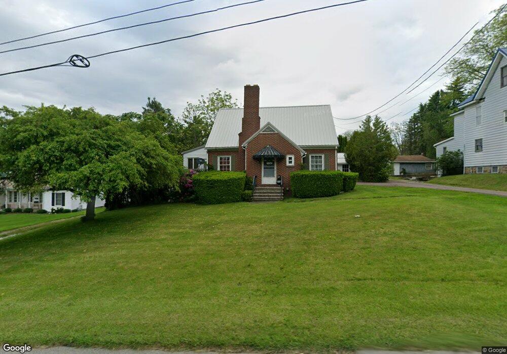
1031 E Main St Somerset, PA 15501
Estimated Value: $116,000 - $168,000
3
Beds
2
Baths
1,218
Sq Ft
$119/Sq Ft
Est. Value
About This Home
This home is located at 1031 E Main St, Somerset, PA 15501 and is currently estimated at $144,682, approximately $118 per square foot. 1031 E Main St is a home located in Somerset County with nearby schools including Maple Ridge Elementary School, Eagle View Elementary School, and Somerset Area Junior/Senior High School.
Ownership History
Date
Name
Owned For
Owner Type
Purchase Details
Closed on
Jun 30, 2010
Sold by
Long Stephen E and Long Sharon R
Bought by
Mallory Shaun D and Mallory Teresa M
Current Estimated Value
Home Financials for this Owner
Home Financials are based on the most recent Mortgage that was taken out on this home.
Original Mortgage
$91,800
Outstanding Balance
$61,488
Interest Rate
4.88%
Mortgage Type
New Conventional
Estimated Equity
$83,194
Purchase Details
Closed on
Apr 2, 2005
Sold by
Household Finance Consumer Discount Co
Bought by
Long Stephen E and Long Sharon R
Home Financials for this Owner
Home Financials are based on the most recent Mortgage that was taken out on this home.
Original Mortgage
$83,041
Interest Rate
6.05%
Mortgage Type
New Conventional
Create a Home Valuation Report for This Property
The Home Valuation Report is an in-depth analysis detailing your home's value as well as a comparison with similar homes in the area
Home Values in the Area
Average Home Value in this Area
Purchase History
| Date | Buyer | Sale Price | Title Company |
|---|---|---|---|
| Mallory Shaun D | $90,000 | None Available | |
| Long Stephen E | $59,950 | None Available |
Source: Public Records
Mortgage History
| Date | Status | Borrower | Loan Amount |
|---|---|---|---|
| Open | Mallory Shaun D | $91,800 | |
| Previous Owner | Long Stephen E | $83,041 |
Source: Public Records
Tax History Compared to Growth
Tax History
| Year | Tax Paid | Tax Assessment Tax Assessment Total Assessment is a certain percentage of the fair market value that is determined by local assessors to be the total taxable value of land and additions on the property. | Land | Improvement |
|---|---|---|---|---|
| 2025 | $2,268 | $28,500 | $0 | $0 |
| 2024 | $2,268 | $28,500 | $0 | $0 |
| 2023 | $2,218 | $28,500 | $0 | $0 |
| 2022 | $2,109 | $28,500 | $0 | $0 |
| 2021 | $2,065 | $28,500 | $0 | $0 |
| 2020 | $2,037 | $28,500 | $0 | $0 |
| 2019 | $2,037 | $28,500 | $0 | $0 |
| 2018 | $2,008 | $28,500 | $7,380 | $21,120 |
| 2017 | $1,994 | $28,500 | $7,380 | $21,120 |
| 2016 | -- | $28,500 | $7,380 | $21,120 |
| 2015 | -- | $28,495 | $7,380 | $21,115 |
| 2014 | -- | $28,495 | $7,380 | $21,115 |
Source: Public Records
Map
Nearby Homes
- 711 E Main St
- 248 Plank Rd
- 201 Beech St
- 100 Burgess St
- 102 Lillian Ln
- 403 Rebecca St
- 565 Stoystown Rd
- 575 Stoystown Rd
- 0 E Garrett St
- 154 E Race St
- 152 E Garrett St
- 515 Mostoller Rd
- 726 Stoystown Rd
- 534 S Center Ave
- 218 Missoura St
- 127 W Main St
- 129 Missoura St
- 120 W Catherine St
- 158 W Union St
- 616 S Park Ave
- 1037 E Main St
- 1017 E Main St
- 1053 E Main St
- 2 N Lynn Ave
- 1007 E Main St
- 3 N Lynn Ave
- 1030 E Main St
- 1038 E Main St
- 1026 E Main St
- 4 N Lynn Ave
- 0 E Main St
- 0 E Main St Unit 96036624
- 0 E Main St Unit 1703843
- 1054 E Main St
- 1002 E Main St
- 1057 E Main St
- 6 N Lynn Ave
- 7 N Lynn Ave
- 122 S Lynn Ave
- 989 E Main St