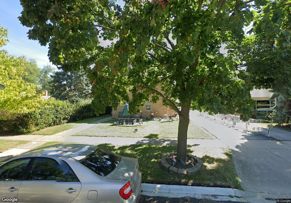
1031 Flossmoor Ave Waukegan, IL 60085
Glenwood Heights NeighborhoodEstimated Value: $315,000 - $356,579
4
Beds
3
Baths
2,725
Sq Ft
$125/Sq Ft
Est. Value
About This Home
This home is located at 1031 Flossmoor Ave, Waukegan, IL 60085 and is currently estimated at $341,145, approximately $125 per square foot. 1031 Flossmoor Ave is a home located in Lake County with nearby schools including Glenwood Elementary School, Miguel Juarez Middle School, and Waukegan High School.
Ownership History
Date
Name
Owned For
Owner Type
Purchase Details
Closed on
Mar 12, 2001
Sold by
Santopoalo Tina
Bought by
Santopoalo Tina and The Santopoalo Declaration Of Trust
Current Estimated Value
Purchase Details
Closed on
Aug 17, 2000
Sold by
Santapoalo James V
Bought by
Santapoalo Tina
Purchase Details
Closed on
Jul 28, 2000
Sold by
James V Santopoalo Revocable Trust
Bought by
Santapoalo James V
Purchase Details
Closed on
Sep 12, 1995
Sold by
Santopoalo James V
Bought by
James V Santopoalo Revocable Trust
Create a Home Valuation Report for This Property
The Home Valuation Report is an in-depth analysis detailing your home's value as well as a comparison with similar homes in the area
Home Values in the Area
Average Home Value in this Area
Purchase History
| Date | Buyer | Sale Price | Title Company |
|---|---|---|---|
| Santopoalo Tina | -- | -- | |
| Santapoalo Tina | -- | -- | |
| Santapoalo James V | -- | -- | |
| James V Santopoalo Revocable Trust | -- | -- |
Source: Public Records
Tax History Compared to Growth
Tax History
| Year | Tax Paid | Tax Assessment Tax Assessment Total Assessment is a certain percentage of the fair market value that is determined by local assessors to be the total taxable value of land and additions on the property. | Land | Improvement |
|---|---|---|---|---|
| 2024 | $7,615 | $101,372 | $13,601 | $87,771 |
| 2023 | $8,876 | $90,759 | $12,177 | $78,582 |
| 2022 | $8,876 | $98,795 | $11,848 | $86,947 |
| 2021 | $8,615 | $90,628 | $10,411 | $80,217 |
| 2020 | $8,664 | $84,431 | $9,699 | $74,732 |
| 2019 | $8,649 | $77,368 | $8,888 | $68,480 |
| 2018 | $7,814 | $68,947 | $11,322 | $57,625 |
| 2017 | $7,539 | $60,999 | $10,017 | $50,982 |
| 2016 | $6,955 | $53,005 | $8,704 | $44,301 |
| 2015 | $6,662 | $47,440 | $7,790 | $39,650 |
| 2014 | $5,487 | $37,968 | $5,974 | $31,994 |
| 2012 | $6,754 | $41,135 | $6,472 | $34,663 |
Source: Public Records
Map
Nearby Homes
- 615 Tiffany Dr
- 1005 N Lewis Ave
- 1213 Grand Ave
- 12787 W Grove Ave
- 2813 Theresa Ave
- 12352 W Atlantic Ave
- 1023 N Elmwood Ave
- 1038 Indiana Ave
- 2009 Harding Ave
- 2008 Harding Ave
- 1117 Judge Ave
- 0 Brookside Ave
- 2810 W Atlantic Ave
- 2207 Williamsburg Dr
- 1504 W Glen Flora Ave
- 824 N Butrick St
- 12698 W Grandview Ave
- 12716 W Grandview Ave
- 1000 Pine St
- 621 N Austin Ave
- 1027 Flossmoor Ave
- 1029 Flossmoor Ave
- 1045 Flossmoor Ave
- 1023 Flossmoor Ave
- 1049 Flossmoor Ave
- 1019 Flossmoor Ave
- 1036 Leith Ave
- 1032 Leith Ave
- 1028 Leith Ave
- 1040 Leith Ave
- 1044 Leith Ave
- 1024 Leith Ave
- 1034 Flossmoor Ave
- 1015 Flossmoor Ave
- 1030 Flossmoor Ave
- 1028 Flossmoor Ave
- 2435 Nemery Ct
- 1053 Flossmoor Ave
- 1020 Leith Ave
- 1048 Leith Ave