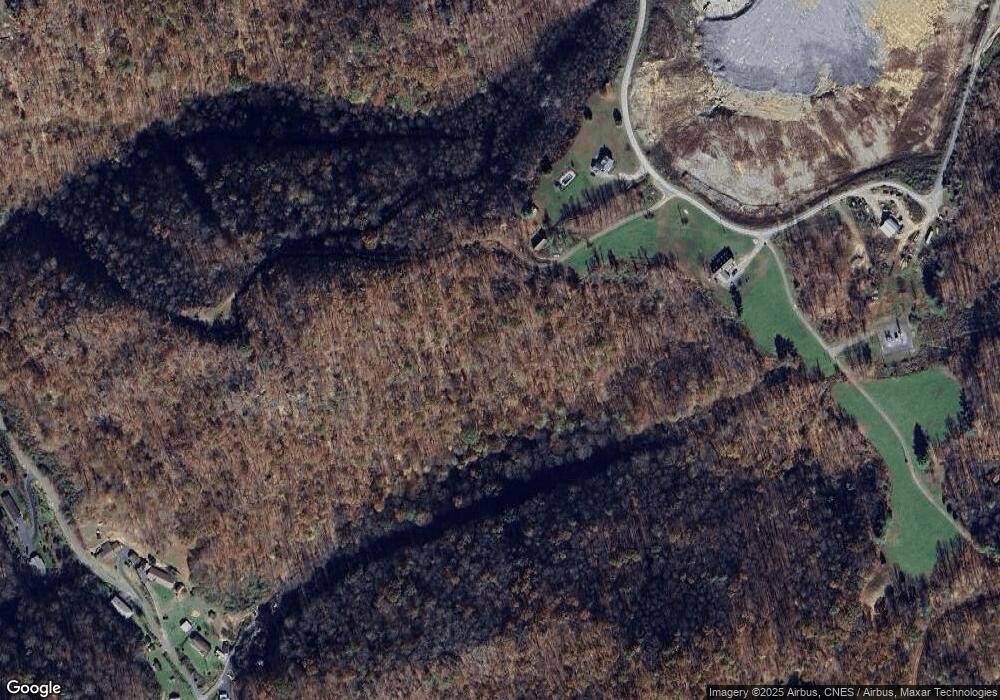
1031 Forrest Rd Vansant, VA 24656
Estimated Value: $130,035 - $161,000
3
Beds
1
Bath
1,544
Sq Ft
$94/Sq Ft
Est. Value
About This Home
This home is located at 1031 Forrest Rd, Vansant, VA 24656 and is currently estimated at $145,518, approximately $94 per square foot. 1031 Forrest Rd is a home located in Buchanan County with nearby schools including Riverview Elementary/Middle School and Grundy High School.
Ownership History
Date
Name
Owned For
Owner Type
Purchase Details
Closed on
Apr 6, 2021
Sold by
The Black Diamond Co
Bought by
Breaks Regional Airport Authority
Current Estimated Value
Purchase Details
Closed on
Aug 26, 2020
Sold by
Black Diamond Co
Bought by
Matney Tony Raymond
Purchase Details
Closed on
Oct 21, 2019
Sold by
Looney Peggy June and Matney Sandra Owens
Bought by
The Black Diamond Company
Purchase Details
Closed on
Aug 28, 2014
Sold by
Stevenson Franklin Richard and Steven Judith Christine
Bought by
Boyd Gregory Allen and Boyd Anna Ray
Create a Home Valuation Report for This Property
The Home Valuation Report is an in-depth analysis detailing your home's value as well as a comparison with similar homes in the area
Purchase History
| Date | Buyer | Sale Price | Title Company |
|---|---|---|---|
| Breaks Regional Airport Authority | -- | None Available | |
| Matney Tony Raymond | $2,500 | None Available | |
| The Black Diamond Company | $225,000 | None Available | |
| Boyd Gregory Allen | $120,000 | None Available |
Source: Public Records
Tax History
| Year | Tax Paid | Tax Assessment Tax Assessment Total Assessment is a certain percentage of the fair market value that is determined by local assessors to be the total taxable value of land and additions on the property. | Land | Improvement |
|---|---|---|---|---|
| 2025 | $325 | $83,400 | $29,800 | $53,600 |
| 2024 | $325 | $83,400 | $29,800 | $53,600 |
| 2023 | $325 | $83,400 | $29,800 | $53,600 |
| 2020 | $356 | $91,400 | $31,500 | $59,900 |
| 2019 | $372 | $95,500 | $35,600 | $59,900 |
| 2017 | $372 | $95,500 | $35,600 | $59,900 |
| 2016 | $372 | $95,500 | $35,600 | $59,900 |
| 2015 | -- | $67,800 | $24,400 | $43,400 |
Source: Public Records
Map
Nearby Homes
- 1332 G P Branch Rd
- 1877 Lovers Gap Rd
- 18775 Riverside Dr
- 2477 Leemaster Dr
- 1104 Little Prater Rd
- 1107 Russell Hill St
- 1030 Russell Hill St
- 1022 Russell Hill St
- 1551 Watkins Branch
- 1059 Shady Lane St
- 1111 Watkins St
- TBD Riverside Dr
- 8836 Lovers Gap Rd
- 1154 Fairview St
- 1991 Old Greenbrier Rd
- 2497 Slate Creek Rd
- 1087 Greenhouse Cir
- 2929 Slate Creek Rd
- 9725 Garden Creek Rd
- 7016 Hurricane Creek Rd
- FOREST Forrest Rd
- 1016 Forrest Rd
- 1255 G P Branch Rd
- 1058 Forrest Rd
- 1076 Blooming Rd
- 1045 Blooming Rd
- 1245 G P Branch
- 1353 G P Branch Rd
- 1354 G P Branch
- 1162 G P Branch Rd
- 10709 Riverside Dr
- 1151 G P Branch
- 1455 G P Branch Rd
- 1046 G P Branch
- 1557 G P Branch Rd
- 1034 G P Branch
- 1576 G P Branch
- 1581 G P Branch Rd
- 1586 G P Branch Rd
- 3976 Lovers Gap Rd
