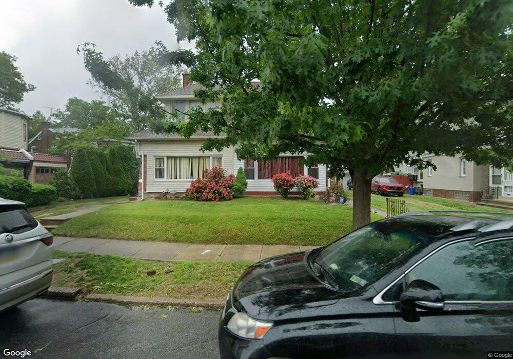
1031 Granite St Philadelphia, PA 19124
Frankford NeighborhoodEstimated Value: $268,000 - $353,000
4
Beds
1
Bath
1,920
Sq Ft
$159/Sq Ft
Est. Value
About This Home
This home is located at 1031 Granite St, Philadelphia, PA 19124 and is currently estimated at $305,757, approximately $159 per square foot. 1031 Granite St is a home located in Philadelphia County with nearby schools including Frankford High School, The Philadelphia Charter School for the Arts & Sciences, and Northwood Academy Charter School.
Ownership History
Date
Name
Owned For
Owner Type
Purchase Details
Closed on
Jul 11, 2006
Sold by
Eberhard Elsie E
Bought by
Clarke Donald J and Horton Thomas
Current Estimated Value
Purchase Details
Closed on
Dec 2, 1998
Sold by
Rodebaugh William F and Smith Lisa K
Bought by
Rodebaugh William F and Rodebaugh Lisa K
Purchase Details
Closed on
Aug 16, 1996
Sold by
Mckenna Edward F
Bought by
Rodebaugh William F and Smith Lisa K
Create a Home Valuation Report for This Property
The Home Valuation Report is an in-depth analysis detailing your home's value as well as a comparison with similar homes in the area
Home Values in the Area
Average Home Value in this Area
Purchase History
| Date | Buyer | Sale Price | Title Company |
|---|---|---|---|
| Clarke Donald J | $52,000 | First American Title Ins Co | |
| Rodebaugh William F | -- | -- | |
| Rodebaugh William F | $94,000 | -- |
Source: Public Records
Tax History Compared to Growth
Tax History
| Year | Tax Paid | Tax Assessment Tax Assessment Total Assessment is a certain percentage of the fair market value that is determined by local assessors to be the total taxable value of land and additions on the property. | Land | Improvement |
|---|---|---|---|---|
| 2026 | $3,061 | $270,600 | $54,120 | $216,480 |
| 2025 | $3,061 | $270,600 | $54,120 | $216,480 |
| 2024 | $3,061 | $270,600 | $54,120 | $216,480 |
| 2023 | $3,061 | $218,700 | $43,740 | $174,960 |
| 2022 | $1,754 | $173,700 | $43,740 | $129,960 |
| 2021 | $2,384 | $0 | $0 | $0 |
| 2020 | $2,384 | $0 | $0 | $0 |
| 2019 | $2,287 | $0 | $0 | $0 |
| 2018 | $1,761 | $0 | $0 | $0 |
| 2017 | $2,181 | $0 | $0 | $0 |
| 2016 | $1,761 | $0 | $0 | $0 |
| 2015 | $1,686 | $0 | $0 | $0 |
| 2014 | -- | $155,800 | $49,418 | $106,382 |
| 2012 | -- | $22,784 | $3,585 | $19,199 |
Source: Public Records
Map
Nearby Homes
- 1048 Bridge St
- 5659 Miriam Rd
- 5661 Miriam Rd
- 5640 Miriam Rd
- 1137 Bridge St
- 996 Anchor St
- 991 Carver St
- 972 Bridge St
- 5505 Loretto Ave
- 934 Brill St
- 934 E Sanger St
- 1204 Pratt St
- 1225 E Cheltenham Ave
- 1431 Rosalie St
- 1211 E Cheltenham Ave
- 925 E Sanger St
- 1218 Pratt St
- 1220 Pratt St
- 5347 Sylvester St
- 929 1/2 Anchor St
- 1033 Granite St
- 1039 Granite St
- 5229 Castor Ave
- 5235 Castor Ave
- 5227 Castor Ave
- 1041 Granite St
- 5237 Castor Ave
- 1030 Bridge St
- 1032 Bridge St
- 1038 Bridge St
- 1047 Granite St
- 5243 Castor Ave
- 5221 Castor Ave
- 1030 Granite St
- 5245 Castor Ave
- 1038 Granite St
- 1046 Bridge St
- 5219 Castor Ave
- 1040 Granite St
- 1040 Bridge St