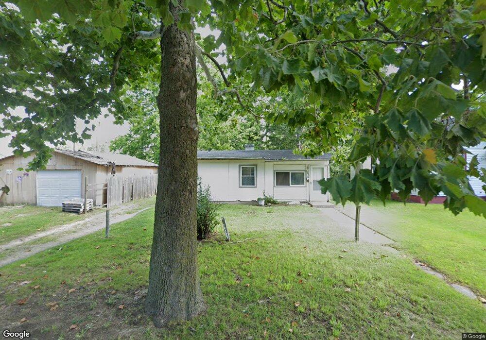
1031 Hurd Ave Benton Harbor, MI 49022
Estimated Value: $71,000 - $89,000
2
Beds
1
Bath
725
Sq Ft
$112/Sq Ft
Est. Value
About This Home
This home is located at 1031 Hurd Ave, Benton Harbor, MI 49022 and is currently estimated at $81,380, approximately $112 per square foot. 1031 Hurd Ave is a home located in Berrien County with nearby schools including Fair Plain Middle School, Benton Harbor High School, and Benton Harbor Charter School Academy.
Ownership History
Date
Name
Owned For
Owner Type
Purchase Details
Closed on
Oct 22, 2020
Sold by
Andrews Marcella
Bought by
Housing Now Llc
Current Estimated Value
Purchase Details
Closed on
Oct 16, 2020
Sold by
Andrews Marcella
Bought by
Housing Ow Llc
Purchase Details
Closed on
Nov 12, 2013
Sold by
Bgb Developments Llc
Bought by
Andrews Marcella
Purchase Details
Closed on
Jan 16, 2008
Sold by
Robinson Maxine
Bought by
Bgb Development Llc
Purchase Details
Closed on
Apr 4, 1997
Purchase Details
Closed on
Oct 17, 1996
Create a Home Valuation Report for This Property
The Home Valuation Report is an in-depth analysis detailing your home's value as well as a comparison with similar homes in the area
Home Values in the Area
Average Home Value in this Area
Purchase History
| Date | Buyer | Sale Price | Title Company |
|---|---|---|---|
| Housing Now Llc | $10,400 | None Listed On Document | |
| Housing Ow Llc | $10,400 | None Available | |
| Andrews Marcella | $500 | None Available | |
| Bgb Development Llc | $6,000 | None Available | |
| -- | $14,000 | -- | |
| -- | $100 | -- | |
| -- | $100 | -- |
Source: Public Records
Tax History Compared to Growth
Tax History
| Year | Tax Paid | Tax Assessment Tax Assessment Total Assessment is a certain percentage of the fair market value that is determined by local assessors to be the total taxable value of land and additions on the property. | Land | Improvement |
|---|---|---|---|---|
| 2025 | $705 | $23,200 | $0 | $0 |
| 2024 | $678 | $20,300 | $0 | $0 |
| 2023 | $543 | $13,800 | $0 | $0 |
| 2022 | $616 | $10,200 | $0 | $0 |
| 2021 | $634 | $10,100 | $700 | $9,400 |
| 2020 | $557 | $10,300 | $0 | $0 |
| 2019 | $547 | $9,000 | $0 | $0 |
| 2018 | $540 | $8,500 | $0 | $0 |
| 2017 | $674 | $10,900 | $0 | $0 |
| 2016 | $663 | $11,000 | $0 | $0 |
| 2015 | $662 | $10,600 | $0 | $0 |
| 2014 | $719 | $12,900 | $0 | $0 |
Source: Public Records
Map
Nearby Homes
- 960 Union Ave
- 0 V/L E Empire Ave
- 1142 Bishop Ave
- 1129 Jennings Ave
- 960 Jennings Ave
- 1337 Agard Ave
- 688 S Fair Ave
- 1219 Ogden Ave
- 1380 Milton St
- 2872 Pipestone Rd
- 2508 Pipestone Rd
- 361 E May St
- 1301 Superior St
- 1097 Pearl St
- 1235 Ravina Ave
- 972 Pearl St
- 349 E Empire Ave
- 730 Superior St
- 1504 Michigan 139
- 833 Pearl St