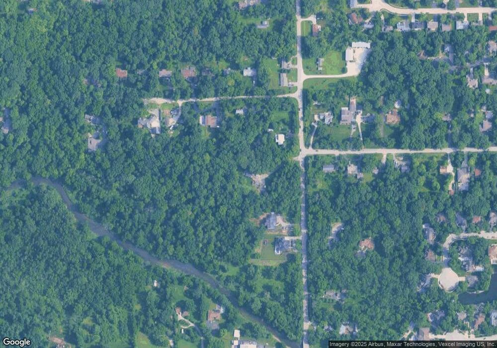
1031 N Vine St New Lenox, IL 60451
Estimated Value: $358,000 - $408,000
--
Bed
--
Bath
--
Sq Ft
5
Acres
About This Home
This home is located at 1031 N Vine St, New Lenox, IL 60451 and is currently estimated at $389,443. 1031 N Vine St is a home located in Will County with nearby schools including Oster-Oakview School, Haines Elementary School, and Lincoln Way West.
Ownership History
Date
Name
Owned For
Owner Type
Purchase Details
Closed on
Mar 24, 2020
Sold by
Nimon Timothy N and Nimon Candice M
Bought by
Nimon Timothy M and Nimon Candice M
Current Estimated Value
Home Financials for this Owner
Home Financials are based on the most recent Mortgage that was taken out on this home.
Original Mortgage
$226,750
Outstanding Balance
$178,258
Interest Rate
3.25%
Mortgage Type
New Conventional
Estimated Equity
$211,185
Purchase Details
Closed on
Mar 2, 2015
Sold by
Kline Judy A and Grannum Jane A
Bought by
Nimon Timothy N and Nimon Candice M
Home Financials for this Owner
Home Financials are based on the most recent Mortgage that was taken out on this home.
Original Mortgage
$237,500
Interest Rate
4.25%
Mortgage Type
New Conventional
Purchase Details
Closed on
Feb 27, 2007
Sold by
Kline Judy A and Grannum Jane A
Bought by
Kline Judy A and Grannum Jane A
Purchase Details
Closed on
Nov 19, 2001
Sold by
Lewison Margaret C
Bought by
Lewison Margaret C
Create a Home Valuation Report for This Property
The Home Valuation Report is an in-depth analysis detailing your home's value as well as a comparison with similar homes in the area
Home Values in the Area
Average Home Value in this Area
Purchase History
| Date | Buyer | Sale Price | Title Company |
|---|---|---|---|
| Nimon Timothy M | -- | Citywide Title Corporation | |
| Nimon Timothy N | $237,500 | Fidelity National Title Ins | |
| Kline Judy A | -- | None Available | |
| Lewison Margaret C | -- | -- |
Source: Public Records
Mortgage History
| Date | Status | Borrower | Loan Amount |
|---|---|---|---|
| Open | Nimon Timothy M | $226,750 | |
| Closed | Nimon Timothy N | $237,500 |
Source: Public Records
Tax History Compared to Growth
Tax History
| Year | Tax Paid | Tax Assessment Tax Assessment Total Assessment is a certain percentage of the fair market value that is determined by local assessors to be the total taxable value of land and additions on the property. | Land | Improvement |
|---|---|---|---|---|
| 2024 | $7,570 | $104,750 | $55,902 | $48,848 |
| 2023 | $7,570 | $95,488 | $50,959 | $44,529 |
| 2022 | $6,837 | $87,967 | $46,945 | $41,022 |
| 2021 | $6,484 | $82,730 | $44,150 | $38,580 |
| 2020 | $6,294 | $79,778 | $42,575 | $37,203 |
| 2019 | $6,016 | $77,304 | $41,255 | $36,049 |
| 2018 | $5,871 | $74,640 | $39,833 | $34,807 |
| 2017 | $5,569 | $72,494 | $38,688 | $33,806 |
| 2016 | $5,402 | $70,554 | $37,653 | $32,901 |
| 2015 | $7,463 | $95,643 | $36,468 | $59,175 |
| 2014 | $7,463 | $94,462 | $36,018 | $58,444 |
| 2013 | $7,463 | $95,735 | $36,503 | $59,232 |
Source: Public Records
Map
Nearby Homes
- 338 Willow St
- 331 Old Hickory Rd
- 125 Kimber Dr
- Vacant W Maple St
- 416 Manor Ct Unit B
- 217 Aspen Dr
- 1500 Ramp
- 133 Barbara Ln
- 1231 Town Crest Dr Unit E
- 203 Fir St
- 574 Prairie Crossing Dr
- 202 Hickory St
- 1301 Silver Cross Blvd
- 1344 N Cedar Rd
- 224 Hauser Ct
- 315 S Pine St
- 200 Redwood Ave
- 208 Redwood Ave
- 00 NE Corner Cherry Hill Road and Moss Lane Rd
- 1701 Grand Prairie Dr
