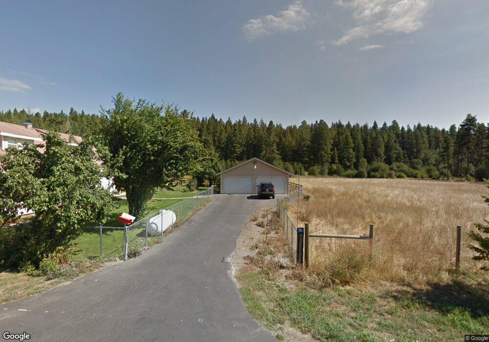
1031 Shaft St Roslyn, WA 98941
Estimated Value: $595,000 - $1,302,000
4
Beds
2
Baths
3,724
Sq Ft
$274/Sq Ft
Est. Value
About This Home
This home is located at 1031 Shaft St, Roslyn, WA 98941 and is currently estimated at $1,021,818, approximately $274 per square foot. 1031 Shaft St is a home with nearby schools including Cle Elum Roslyn Elementary School, Walter Strom Middle School, and Cle Elum Roslyn High School.
Ownership History
Date
Name
Owned For
Owner Type
Purchase Details
Closed on
May 8, 2024
Sold by
Butkovich Michael Paul
Bought by
Butkovich Mary Lynn
Current Estimated Value
Purchase Details
Closed on
Jul 11, 2014
Sold by
Butkovich Charles L
Bought by
Butkovich Mary Lynn and Butkovich Michael Paul
Purchase Details
Closed on
Dec 20, 2013
Sold by
Butkovich Charles L
Bought by
Butkovich Charles L
Purchase Details
Closed on
Mar 22, 2007
Sold by
Butkovich Jean Marie
Bought by
Butkovich Charles L and The Revocable Living Trust Of Jean Marie
Create a Home Valuation Report for This Property
The Home Valuation Report is an in-depth analysis detailing your home's value as well as a comparison with similar homes in the area
Home Values in the Area
Average Home Value in this Area
Purchase History
| Date | Buyer | Sale Price | Title Company |
|---|---|---|---|
| Butkovich Mary Lynn | -- | None Listed On Document | |
| Butkovich Mary Lynn | -- | None Available | |
| Butkovich Charles L | -- | None Available | |
| Butkovich Charles L | -- | None Available |
Source: Public Records
Tax History Compared to Growth
Tax History
| Year | Tax Paid | Tax Assessment Tax Assessment Total Assessment is a certain percentage of the fair market value that is determined by local assessors to be the total taxable value of land and additions on the property. | Land | Improvement |
|---|---|---|---|---|
| 2025 | $6,361 | $1,183,430 | $187,710 | $995,720 |
| 2024 | $6,361 | $1,097,200 | $187,710 | $909,490 |
| 2023 | $6,243 | $963,300 | $187,710 | $775,590 |
| 2022 | $5,315 | $738,470 | $123,660 | $614,810 |
| 2021 | $4,883 | $646,430 | $100,100 | $546,330 |
| 2019 | $2,677 | $352,060 | $91,660 | $260,400 |
| 2018 | $1,692 | $210,230 | $45,060 | $165,170 |
| 2017 | $1,692 | $210,230 | $45,060 | $165,170 |
| 2016 | $1,304 | $160,920 | $45,060 | $115,860 |
| 2015 | $1,350 | $160,920 | $45,060 | $115,860 |
| 2013 | -- | $162,600 | $50,420 | $112,180 |
Source: Public Records
Map
Nearby Homes
- 722 S A St
- 70 Monabel Ct
- 706 S A St
- 240 Monabel Ct
- 950 Coal Mine Way
- 930 Coal Mine Way
- 602 S 1st St
- 571 Richards Rd
- 1481 Coal Mine Way
- 1561 Coal Mine Way
- 313 S 2nd St
- 303 S 1st St
- 221 Tipple Hill Loop
- 301 Tipple Hill Loop
- 2040 Coal Mine Way
- 206 W Montana Ave
- 2101 Coal Mine Way
- 530 Spragger Way
- 610 Spragger Way
- 90 Portal Ct