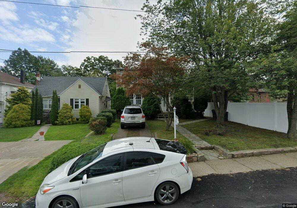
1031 State Route 940 Hazle Township, PA 18202
Estimated Value: $276,740 - $353,000
4
Beds
2
Baths
2,062
Sq Ft
$153/Sq Ft
Est. Value
About This Home
This home is located at 1031 State Route 940, Hazle Township, PA 18202 and is currently estimated at $315,435, approximately $152 per square foot. 1031 State Route 940 is a home located in Luzerne County with nearby schools including Hazleton Area High School, Immanuel Christian School, and Holy Family Academy.
Ownership History
Date
Name
Owned For
Owner Type
Purchase Details
Closed on
Jun 3, 2019
Sold by
Roby Kathryn Ann L and Estate Of Helen V Liott
Bought by
Brito Soriano Jose Miguel Rosario and Brito De Pimentel Stephanie Ramona
Current Estimated Value
Home Financials for this Owner
Home Financials are based on the most recent Mortgage that was taken out on this home.
Original Mortgage
$142,590
Outstanding Balance
$125,117
Interest Rate
4%
Mortgage Type
New Conventional
Estimated Equity
$190,318
Purchase Details
Closed on
Jan 1, 1960
Bought by
Liott Helen
Create a Home Valuation Report for This Property
The Home Valuation Report is an in-depth analysis detailing your home's value as well as a comparison with similar homes in the area
Home Values in the Area
Average Home Value in this Area
Purchase History
| Date | Buyer | Sale Price | Title Company |
|---|---|---|---|
| Brito Soriano Jose Miguel Rosario | $147,000 | Amrock Inc | |
| Liott Helen | -- | -- |
Source: Public Records
Mortgage History
| Date | Status | Borrower | Loan Amount |
|---|---|---|---|
| Open | Brito Soriano Jose Miguel Rosario | $142,590 |
Source: Public Records
Tax History Compared to Growth
Tax History
| Year | Tax Paid | Tax Assessment Tax Assessment Total Assessment is a certain percentage of the fair market value that is determined by local assessors to be the total taxable value of land and additions on the property. | Land | Improvement |
|---|---|---|---|---|
| 2025 | $3,877 | $190,600 | $30,400 | $160,200 |
| 2024 | $3,719 | $190,600 | $30,400 | $160,200 |
| 2023 | $3,646 | $190,600 | $30,400 | $160,200 |
| 2022 | $3,611 | $190,600 | $30,400 | $160,200 |
| 2021 | $3,501 | $190,600 | $30,400 | $160,200 |
| 2020 | $3,438 | $190,600 | $30,400 | $160,200 |
| 2019 | $3,294 | $190,600 | $30,400 | $160,200 |
| 2018 | $3,169 | $190,600 | $30,400 | $160,200 |
| 2017 | $3,101 | $190,600 | $30,400 | $160,200 |
| 2016 | -- | $190,600 | $30,400 | $160,200 |
| 2015 | -- | $190,600 | $30,400 | $160,200 |
| 2014 | -- | $190,600 | $30,400 | $160,200 |
Source: Public Records
Map
Nearby Homes
- 991 Seybert St
- 837 N Laurel St
- 827 N Vine St
- 19 W 14th St
- 882 N Locust St
- 1009 Peace St
- 739 N Church St
- 738 N Manhattan Ct
- 756 Seybert St
- 714 Alter St
- 782 N James St
- 756 Peace St
- 14 W 5th St
- 572 N Vine St
- 538 Carson St Unit 40
- 530 N Lee Ct
- 629 Arthur St
- 523 N Laurel St
- 589 Garfield St
- 127 W Diamond Ave
- 1027 State Route 940
- 1025 Fishers Hill
- 1047 Fishers Hill
- 125 W 22nd St
- 121 W 22nd St
- 1028 State Route 940
- 1028 Pennsylvania 940
- 115 W 22nd St
- 129 W 22nd St
- 1055 Fishers Hill Ave
- 104 W 22nd St
- 1035 N Laurel St
- 1015 N Church St
- 1013 N Church St
- 1025 N Laurel St
- 0 N Church St Unit 23-1289
- 0 N Church St Unit GSB231179
- L6 N Church St
- 0 N Church St Unit 20-1610
- 0 N Church St Unit 20-1611