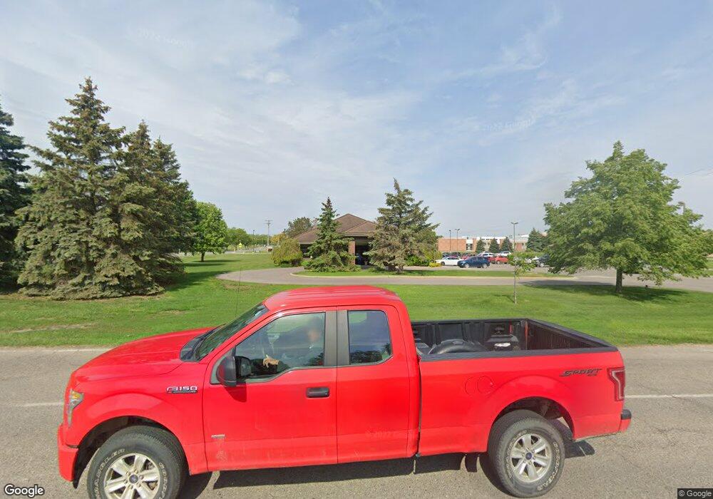
1031 Suncrest Dr Unit Bldg-Unit Lapeer, MI 48446
Estimated Value: $957,673
--
Bed
--
Bath
7,258
Sq Ft
$132/Sq Ft
Est. Value
About This Home
This home is located at 1031 Suncrest Dr Unit Bldg-Unit, Lapeer, MI 48446 and is currently estimated at $957,673, approximately $131 per square foot. 1031 Suncrest Dr Unit Bldg-Unit is a home located in Lapeer County with nearby schools including C.K. Schickler Elementary School, Rolland-Warner Middle School, and Lapeer High School.
Ownership History
Date
Name
Owned For
Owner Type
Purchase Details
Closed on
Jul 5, 2018
Sold by
Jeffrey Harris
Bought by
Alawwa Abdul K
Current Estimated Value
Purchase Details
Closed on
Jun 13, 2018
Sold by
Harris Jeffrey
Bought by
Alawwa Abdul
Purchase Details
Closed on
Aug 10, 1995
Sold by
Dixner Kittredge
Bought by
Harris
Create a Home Valuation Report for This Property
The Home Valuation Report is an in-depth analysis detailing your home's value as well as a comparison with similar homes in the area
Home Values in the Area
Average Home Value in this Area
Purchase History
| Date | Buyer | Sale Price | Title Company |
|---|---|---|---|
| Alawwa Abdul K | $600,000 | None Listed On Document | |
| Alawwa Abdul | $600,000 | Vanguard Title | |
| Alawwa Abdul K | $600,000 | None Listed On Document | |
| Harris | $180,000 | -- |
Source: Public Records
Tax History Compared to Growth
Tax History
| Year | Tax Paid | Tax Assessment Tax Assessment Total Assessment is a certain percentage of the fair market value that is determined by local assessors to be the total taxable value of land and additions on the property. | Land | Improvement |
|---|---|---|---|---|
| 2025 | $14,123 | $470,400 | $0 | $0 |
| 2024 | $3,486 | $431,500 | $0 | $0 |
| 2023 | $3,330 | $412,100 | $0 | $0 |
| 2022 | $12,767 | $361,100 | $0 | $0 |
| 2021 | $11,964 | $334,600 | $0 | $0 |
| 2020 | $11,824 | $347,400 | $0 | $0 |
| 2019 | $11,855 | $305,600 | $0 | $0 |
| 2018 | $12,322 | $320,400 | $320,400 | $0 |
| 2017 | $12,080 | $345,800 | $0 | $0 |
| 2016 | $11,998 | $313,800 | $313,800 | $0 |
| 2015 | -- | $0 | $0 | $0 |
| 2014 | -- | $302,500 | $302,500 | $0 |
| 2013 | -- | $320,000 | $320,000 | $0 |
Source: Public Records
Map
Nearby Homes
- 1441 Candace Dr
- 1747 Westbrooke Dr
- 1408 Lincoln St
- 1440 Lincoln St
- 1466 Lincoln St
- 1389 Luxington Dr
- 1421 Luxington Dr
- 1423 Luxington Dr
- 1636 Woodbridge Park Ave
- 2792 Somerset St
- 1110 Lancaster St
- 1205 Lancaster St
- 1135 Lancaster St
- 817 Lamoreaux Dr
- 1227 N Jackson St
- 0 Golf (H) Rd Unit 20251005981
- 0 Golf (G) Rd Unit 20251005975
- 0 Golf (F) Rd Unit 20251005961
- Lot H Newark Rd
- Lot F Newark Rd
- 1031 Suncrest Dr
- 1057 Suncrest Dr
- 1786 Colonial Ln
- 1575 Suncrest Dr
- 1785 Colonial Ln
- 1787 Cranbrook Ln
- 1764 Colonial Ln
- 1744 Colonial Ln
- 1763 Colonial Ln
- 1765 Cranbrook Ln
- 1784 Carriage Ln
- 1745 Cranbrook Ln
- 1728 Colonial Ln
- 1743 Colonial Ln
- 1727 Colonial Ln
- 1762 Carriage Ln
- 1788 Cranbrook Ln
- 1729 Cranbrook Ln
- 1681 Woodbridge Park Ave
- 1677 Woodbridge Park Ave
