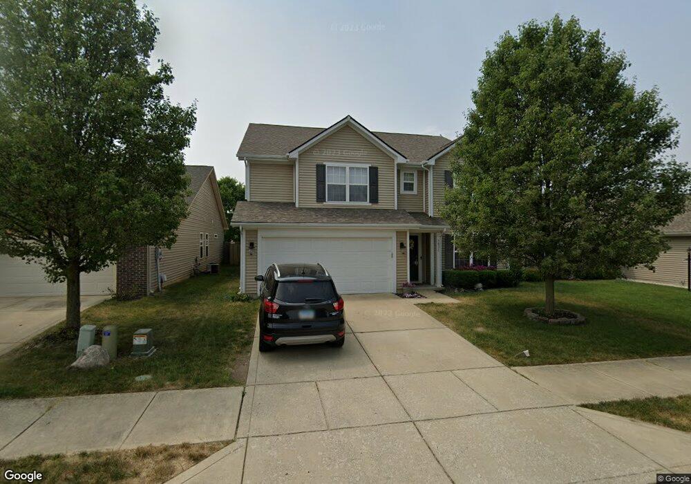
1031 Swinton Way Westfield, IN 46074
Estimated Value: $400,000 - $446,000
3
Beds
3
Baths
3,296
Sq Ft
$128/Sq Ft
Est. Value
About This Home
This home is located at 1031 Swinton Way, Westfield, IN 46074 and is currently estimated at $422,983, approximately $128 per square foot. 1031 Swinton Way is a home located in Hamilton County with nearby schools including Maple Glen Elementary, Westfield Intermediate School, and Westfield Middle School.
Ownership History
Date
Name
Owned For
Owner Type
Purchase Details
Closed on
May 8, 2021
Sold by
Thordarson Erik M
Bought by
Thordarson Darci
Current Estimated Value
Purchase Details
Closed on
Aug 30, 2010
Sold by
Arbor Homes Llc
Bought by
Thordarson Erik M
Home Financials for this Owner
Home Financials are based on the most recent Mortgage that was taken out on this home.
Original Mortgage
$174,687
Outstanding Balance
$115,702
Interest Rate
4.5%
Mortgage Type
FHA
Estimated Equity
$307,281
Purchase Details
Closed on
Jun 17, 2010
Sold by
Platinum Properties Llc
Bought by
Arbor Homes Llc
Create a Home Valuation Report for This Property
The Home Valuation Report is an in-depth analysis detailing your home's value as well as a comparison with similar homes in the area
Home Values in the Area
Average Home Value in this Area
Purchase History
| Date | Buyer | Sale Price | Title Company |
|---|---|---|---|
| Thordarson Darci | -- | None Available | |
| Thordarson Erik M | -- | None Available | |
| Arbor Homes Llc | -- | None Available |
Source: Public Records
Mortgage History
| Date | Status | Borrower | Loan Amount |
|---|---|---|---|
| Open | Thordarson Erik M | $174,687 |
Source: Public Records
Tax History Compared to Growth
Tax History
| Year | Tax Paid | Tax Assessment Tax Assessment Total Assessment is a certain percentage of the fair market value that is determined by local assessors to be the total taxable value of land and additions on the property. | Land | Improvement |
|---|---|---|---|---|
| 2024 | $3,883 | $349,900 | $52,200 | $297,700 |
| 2023 | $3,948 | $342,800 | $52,200 | $290,600 |
| 2022 | $3,083 | $301,600 | $52,200 | $249,400 |
| 2021 | $3,083 | $255,800 | $52,200 | $203,600 |
| 2020 | $2,934 | $241,500 | $52,200 | $189,300 |
| 2019 | $2,835 | $233,500 | $52,200 | $181,300 |
| 2018 | $2,629 | $216,700 | $36,800 | $179,900 |
| 2017 | $2,340 | $207,000 | $36,800 | $170,200 |
| 2016 | $2,223 | $196,700 | $36,800 | $159,900 |
| 2014 | $1,977 | $178,400 | $36,800 | $141,600 |
| 2013 | $1,977 | $176,600 | $36,800 | $139,800 |
Source: Public Records
Map
Nearby Homes
- 963 Retford Dr
- 17346 Haxby Ln
- 16964 Brigg Ct
- 931 Maidstone Ave
- 17334 Ditch Rd
- 17342 Ditch Rd
- 871 Maidstone Ave
- 823 W State Road 32
- The Sullivan Plan at Midland - Brookston
- The Elwood Plan at Midland - Brookston
- The Wells Plan at Midland - The Terraces
- The Kellogg Plan at Midland - Winslow
- The Central Plan at Midland - Conrail
- The Benton Plan at Midland - Crawford
- The Watson Plan at Midland - Winslow
- The Vandalia Plan at Midland - Conrail
- The Hadley Plan at Midland - Middleton
- The Bates Plan at Midland - Winslow
- The Albany Plan at Midland - Middleton
- The Coleman Plan at Midland - Winslow
- 1039 Swinton Way
- 1023 Swinton Way
- 1047 Swinton Way
- 1015 Swinton Way
- 1030 Swinton Way
- 1042 Wendover Ave
- 1050 Wendover Ave
- 1034 Wendover Ave
- 1055 Swinton Way
- 1038 Swinton Way
- 1022 Swinton Way
- 1026 Wendover Ave
- 1009 Swinton Way
- 1046 Swinton Way
- 1014 Swinton Way
- 1018 Wendover Ave
- 1066 Wendover Ave
- 1063 Swinton Way
- 1054 Swinton Way
- 1001 Swinton Way