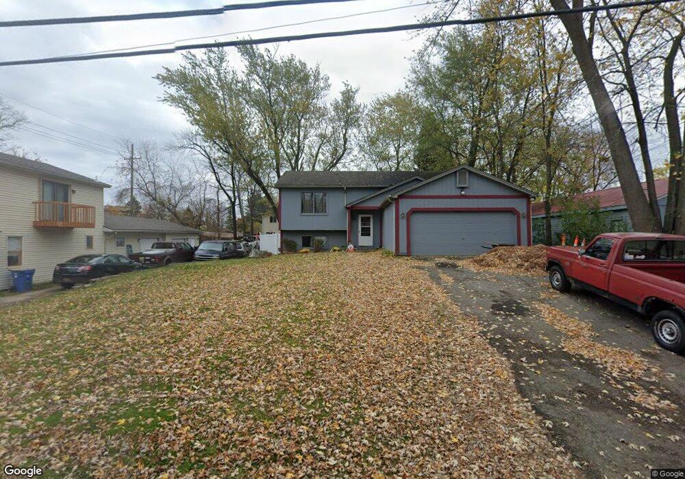
1031 Tecumseh Ave Waterford, MI 48327
Waterford Township NeighborhoodEstimated Value: $248,000 - $298,000
2
Beds
2
Baths
1,669
Sq Ft
$166/Sq Ft
Est. Value
About This Home
This home is located at 1031 Tecumseh Ave, Waterford, MI 48327 and is currently estimated at $276,636, approximately $165 per square foot. 1031 Tecumseh Ave is a home located in Oakland County with nearby schools including Haviland Elementary School, Pierce Middle School, and Waterford Mott High School.
Ownership History
Date
Name
Owned For
Owner Type
Purchase Details
Closed on
Mar 10, 2023
Sold by
Brockman Nicole L
Bought by
Hunn Cathlene
Current Estimated Value
Home Financials for this Owner
Home Financials are based on the most recent Mortgage that was taken out on this home.
Original Mortgage
$101,953
Outstanding Balance
$98,729
Interest Rate
6.09%
Mortgage Type
FHA
Estimated Equity
$177,907
Purchase Details
Closed on
Jun 1, 2006
Sold by
Brockman Gary L
Bought by
Brockman Gary L and Brockman Nicole L
Create a Home Valuation Report for This Property
The Home Valuation Report is an in-depth analysis detailing your home's value as well as a comparison with similar homes in the area
Home Values in the Area
Average Home Value in this Area
Purchase History
| Date | Buyer | Sale Price | Title Company |
|---|---|---|---|
| Hunn Cathlene | $200,000 | -- | |
| Brockman Gary L | -- | None Available |
Source: Public Records
Mortgage History
| Date | Status | Borrower | Loan Amount |
|---|---|---|---|
| Open | Hunn Cathlene | $101,953 |
Source: Public Records
Tax History Compared to Growth
Tax History
| Year | Tax Paid | Tax Assessment Tax Assessment Total Assessment is a certain percentage of the fair market value that is determined by local assessors to be the total taxable value of land and additions on the property. | Land | Improvement |
|---|---|---|---|---|
| 2024 | $2,457 | $115,150 | $0 | $0 |
| 2023 | $1,295 | $106,680 | $0 | $0 |
| 2022 | $3,104 | $100,400 | $0 | $0 |
| 2021 | $2,967 | $97,650 | $0 | $0 |
| 2020 | $2,178 | $96,620 | $0 | $0 |
| 2019 | $2,901 | $84,300 | $0 | $0 |
| 2018 | $2,913 | $79,670 | $0 | $0 |
| 2017 | $2,763 | $79,670 | $0 | $0 |
| 2016 | $2,679 | $68,560 | $0 | $0 |
| 2015 | -- | $62,140 | $0 | $0 |
| 2014 | -- | $57,400 | $0 | $0 |
| 2011 | -- | $52,010 | $0 | $0 |
Source: Public Records
Map
Nearby Homes
- 5171 Durnham Dr
- 941 Shoshone Cir
- 1029 Monica Place
- 4910 Chipman Dr
- 1020 Charest Ave
- 727 Mcdougal Dr
- 5540 River Park Dr Unit 12
- 00000 Muskingum
- 4616 Cass Elizabeth Rd
- 1036 Pelham Blvd
- 1396 Oregon Blvd
- 5806 King James Ln
- 544 Springle Dr
- 542 Springle Dr
- 4860 Cooley Lake Rd
- 4433 Motorway Dr
- 1522 Oregon Ct
- 5729 Windspirit Ct Unit 36
- 4390 Cass Elizabeth Rd
- 4575 Fairway Ct
- 1011 Tecumseh Ave
- 1020 Oregon Blvd
- 1040 Oregon Blvd
- 1020 Tecumseh Ave
- 1055 Tecumseh Ave
- 1050 Tecumseh Ave
- 5133 Cass Elizabeth Rd
- 1052 Oregon Blvd
- 1054 Tecumseh Ave
- 5104 Cohoctah Place
- 5135 Cass Elizabeth Rd
- 5137 Cass Elizabeth Rd
- 5110 Cohoctah Place
- 5122 Chipman Dr
- 1027 Oregon Blvd
- 5124 Chipman Dr
- 1035 Oregon Blvd
- 5140 Cass Elizabeth Rd
- 5116 Cohoctah Place
- 5126 Chipman Dr