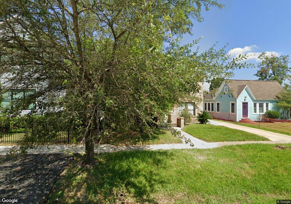
1031 Usener St Unit 2 Houston, TX 77009
Greater Heights NeighborhoodEstimated Value: $691,000 - $859,000
1
Bed
1
Bath
2,596
Sq Ft
$299/Sq Ft
Est. Value
About This Home
This home is located at 1031 Usener St Unit 2, Houston, TX 77009 and is currently estimated at $775,000, approximately $298 per square foot. 1031 Usener St Unit 2 is a home located in Harris County with nearby schools including Travis Elementary School, Hogg Middle, and Heights High School.
Ownership History
Date
Name
Owned For
Owner Type
Purchase Details
Closed on
Feb 18, 2020
Sold by
Laurent Dion
Bought by
Usener 1031 Llc
Current Estimated Value
Purchase Details
Closed on
Dec 30, 2019
Sold by
Laurent Dion and Laurent William Carson
Bought by
Laurent Dion
Purchase Details
Closed on
Feb 7, 2019
Sold by
Biggs William Carson
Bought by
Rlt William Carson Biggs
Purchase Details
Closed on
Aug 11, 1999
Sold by
Hambrick Rebecca Fedorin and Hambrick Mark
Bought by
Biggs William C
Create a Home Valuation Report for This Property
The Home Valuation Report is an in-depth analysis detailing your home's value as well as a comparison with similar homes in the area
Home Values in the Area
Average Home Value in this Area
Purchase History
| Date | Buyer | Sale Price | Title Company |
|---|---|---|---|
| Usener 1031 Llc | -- | None Available | |
| Laurent Dion | -- | None Available | |
| Rlt William Carson Biggs | -- | None Available | |
| Biggs William C | -- | Stewart Title |
Source: Public Records
Tax History Compared to Growth
Tax History
| Year | Tax Paid | Tax Assessment Tax Assessment Total Assessment is a certain percentage of the fair market value that is determined by local assessors to be the total taxable value of land and additions on the property. | Land | Improvement |
|---|---|---|---|---|
| 2025 | $16,969 | $820,000 | $665,910 | $154,090 |
| 2024 | $16,969 | $811,000 | $665,910 | $145,090 |
| 2023 | $16,320 | $810,000 | $602,490 | $207,510 |
| 2022 | $17,037 | $773,732 | $602,490 | $171,242 |
| 2021 | $17,056 | $731,805 | $570,780 | $161,025 |
| 2020 | $15,014 | $675,864 | $570,780 | $105,084 |
| 2019 | $15,716 | $621,070 | $539,070 | $82,000 |
| 2018 | $14,980 | $591,976 | $443,940 | $148,036 |
| 2017 | $14,968 | $591,976 | $443,940 | $148,036 |
| 2016 | $15,065 | $595,779 | $396,970 | $198,809 |
| 2015 | $12,339 | $591,482 | $340,260 | $251,222 |
| 2014 | $12,339 | $480,000 | $340,260 | $139,740 |
Source: Public Records
Map
Nearby Homes
- 1101 Usener St
- 1125 Usener St
- 2519 White Oak Dr
- 1042 Voight St
- 533 Studewood St
- 1030 Voight St
- 1106 Stude St
- 519 Threlkeld St
- 548 Granberry St
- 2434 White Oak Dr
- 717 E 5th 1 2 St
- 1718 White Oak Dr
- 2928 Michaux St
- 1001 E 7th 1/2 St
- 2415 Julian St
- 2932 Michaux St
- 2916 Michaux St
- 2400 Julian St Unit 12
- 1125 Euclid St
- 1023 Euclid St
- 1031 Usener St
- 1031 Usener St Unit 1/2
- 1031 Usener St Unit 1
- 1029 Usener St
- 1035 Usener St
- 2510 Norhill Blvd
- 1023 Usener St
- 1036 Usener St
- 2527 White Oak Dr
- 2512 Norhill Blvd
- 1019 Usener St
- 2523 White Oak Dr
- 2523 White Oak Dr Unit A
- 2463 Forester Unit B
- 2463 Forester Unit A
- 1032 Usener St
- 1038 Usener St
- 1015 Usener St
- 1015 Usener St Unit Upper
- 1042 Usener St