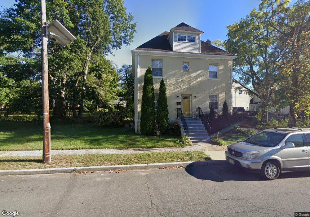
1031 W 3rd St Unit 35 Plainfield, NJ 07063
Estimated Value: $236,000 - $624,000
--
Bed
--
Bath
1,944
Sq Ft
$234/Sq Ft
Est. Value
About This Home
This home is located at 1031 W 3rd St Unit 35, Plainfield, NJ 07063 and is currently estimated at $454,347, approximately $233 per square foot. 1031 W 3rd St Unit 35 is a home located in Union County with nearby schools including Clinton School, Hubbard Middle School, and Plainfield High School.
Ownership History
Date
Name
Owned For
Owner Type
Purchase Details
Closed on
Sep 29, 2000
Sold by
Clark Sondra
Bought by
Williams Leslie S
Current Estimated Value
Home Financials for this Owner
Home Financials are based on the most recent Mortgage that was taken out on this home.
Original Mortgage
$104,550
Outstanding Balance
$38,046
Interest Rate
7.89%
Mortgage Type
FHA
Estimated Equity
$416,301
Create a Home Valuation Report for This Property
The Home Valuation Report is an in-depth analysis detailing your home's value as well as a comparison with similar homes in the area
Home Values in the Area
Average Home Value in this Area
Purchase History
| Date | Buyer | Sale Price | Title Company |
|---|---|---|---|
| Williams Leslie S | $35,000 | Lawyers Title Insurance Corp |
Source: Public Records
Mortgage History
| Date | Status | Borrower | Loan Amount |
|---|---|---|---|
| Open | Williams Leslie S | $104,550 |
Source: Public Records
Tax History Compared to Growth
Tax History
| Year | Tax Paid | Tax Assessment Tax Assessment Total Assessment is a certain percentage of the fair market value that is determined by local assessors to be the total taxable value of land and additions on the property. | Land | Improvement |
|---|---|---|---|---|
| 2025 | $8,033 | $92,000 | $33,500 | $58,500 |
| 2024 | $7,954 | $92,000 | $33,500 | $58,500 |
| 2023 | $7,954 | $92,000 | $33,500 | $58,500 |
| 2022 | $7,782 | $92,000 | $33,500 | $58,500 |
| 2021 | $7,714 | $92,000 | $33,500 | $58,500 |
| 2020 | $7,692 | $92,000 | $33,500 | $58,500 |
| 2019 | $7,692 | $92,000 | $33,500 | $58,500 |
| 2018 | $7,531 | $92,000 | $33,500 | $58,500 |
| 2017 | $7,347 | $92,000 | $33,500 | $58,500 |
| 2016 | $7,197 | $92,000 | $33,500 | $58,500 |
| 2015 | $6,985 | $92,000 | $33,500 | $58,500 |
| 2014 | -- | $92,000 | $33,500 | $58,500 |
Source: Public Records
Map
Nearby Homes
- 318-20 Manson Place
- 333 Mcdowell St Unit 35
- 338 Manson Place Unit 40
- 312 Monroe Ave Unit 14
- 318 Halsey St Unit 20
- 223 Monroe Ave
- 667 S 2nd St
- 355 Bergen St
- 1637 S 2nd St
- 954 W 4th St
- 1222 W 3rd St Unit 24
- 951 W Front St
- 325-29 Stebbins Place Unit 4
- 20-22 Albert St
- 950 W 6th St Unit 52
- 829 S 2nd St
- 1227 W 6th St
- 40 Emma St Unit 42
- 809-11 W 4th St
- 301 Grant Ave Unit 3
- 1037 W 3rd St Unit 43
- 305 Mcdowell St Unit 7
- 309 Mcdowell St Unit 11
- 1030-32 W 3rd St
- 229 Morris St Unit 37
- 1030 W 3rd St Unit 32
- 313 Mcdowell St Unit 15
- 1026 W 3rd St Unit 28
- 229-37 Morris St
- 304 Manson Place Unit 12
- 314 Manson Place Unit 16
- 1022 W 3rd St Unit 24
- 225 Morris St Unit 27
- 317 Mcdowell St Unit 19
- 300 Mcdowell St Unit 2
- 304 Mcdowell St Unit 6
- 1100 W 3rd St Unit 2
- 20 Manson Place
- 224 Manson Place Unit 26
- 318 Manson Place Unit 24