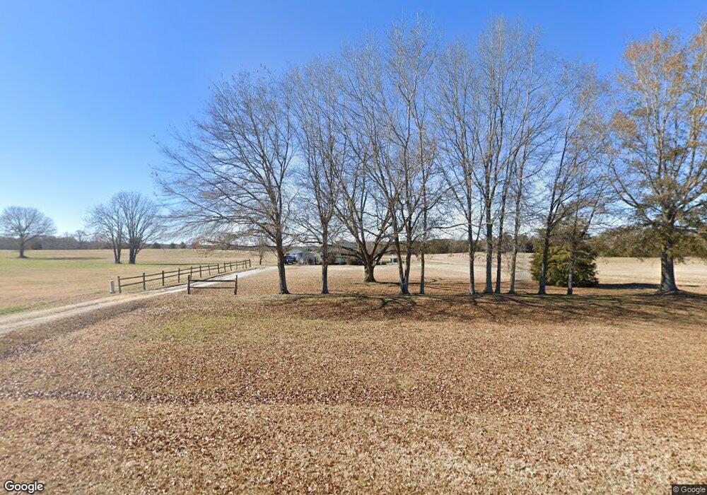
Estimated Value: $61,000 - $240,000
2
Beds
1
Bath
1,150
Sq Ft
$120/Sq Ft
Est. Value
About This Home
This home is located at 10310 Highway 81 S Unit 10310 Hwy. 81 S, Iva, SC 29655 and is currently estimated at $138,324, approximately $120 per square foot. 10310 Highway 81 S Unit 10310 Hwy. 81 S is a home located in Anderson County with nearby schools including Crescent High School.
Ownership History
Date
Name
Owned For
Owner Type
Purchase Details
Closed on
Aug 27, 2021
Sold by
Mccoy Dennis
Bought by
Simpson Robert A and Simpson Ann H
Current Estimated Value
Purchase Details
Closed on
Mar 18, 2010
Sold by
Federal Home Loan Mortgage Corporation
Bought by
Mccoy Dennis and Mccoy Jennifer Burdette
Home Financials for this Owner
Home Financials are based on the most recent Mortgage that was taken out on this home.
Original Mortgage
$41,616
Interest Rate
5.01%
Mortgage Type
New Conventional
Purchase Details
Closed on
Oct 22, 2009
Sold by
Dodgens Matthew S
Bought by
Federal Home Loan Mortgage Corp
Purchase Details
Closed on
Jun 28, 2005
Sold by
Cann Florida S
Bought by
Dodgens Matthew Scott
Create a Home Valuation Report for This Property
The Home Valuation Report is an in-depth analysis detailing your home's value as well as a comparison with similar homes in the area
Home Values in the Area
Average Home Value in this Area
Purchase History
| Date | Buyer | Sale Price | Title Company |
|---|---|---|---|
| Simpson Robert A | $45,000 | None Available | |
| Mccoy Dennis | $40,800 | -- | |
| Federal Home Loan Mortgage Corp | $45,828 | -- | |
| Dodgens Matthew Scott | $53,000 | -- |
Source: Public Records
Mortgage History
| Date | Status | Borrower | Loan Amount |
|---|---|---|---|
| Previous Owner | Mccoy Dennis | $41,616 |
Source: Public Records
Tax History Compared to Growth
Tax History
| Year | Tax Paid | Tax Assessment Tax Assessment Total Assessment is a certain percentage of the fair market value that is determined by local assessors to be the total taxable value of land and additions on the property. | Land | Improvement |
|---|---|---|---|---|
| 2024 | $1,004 | $2,680 | $460 | $2,220 |
| 2023 | $1,004 | $2,680 | $460 | $2,220 |
| 2022 | $986 | $2,680 | $460 | $2,220 |
| 2021 | $1,098 | $3,110 | $400 | $2,710 |
| 2020 | $1,092 | $3,110 | $400 | $2,710 |
| 2019 | $1,092 | $3,110 | $400 | $2,710 |
| 2018 | $355 | $2,080 | $270 | $1,810 |
| 2017 | -- | $2,080 | $270 | $1,810 |
| 2016 | $367 | $2,120 | $200 | $1,920 |
| 2015 | $373 | $2,120 | $200 | $1,920 |
| 2014 | $375 | $2,120 | $200 | $1,920 |
Source: Public Records
Map
Nearby Homes
- 441 Seigler Rd
- 431 Seigler Rd
- 00 War Eagle Dr Unit 28 & 29
- 00 Sarah Simpson Rd
- 104 Mirriam St
- 0 Barksdale Rd
- 866 Charles Creek Rd
- 610 W Cruette St
- 202 River St
- 3 Manning Rd
- 300 Betsy St
- 315 W Broad St
- 00 Antreville Hwy
- 0000 S Carolina 81
- 217 Wiles St
- 114a Simpson St
- 114 Simpson St
- 000 Joyo Rd
- 511 W Broad St
- 3 Antreville Hwy
- 10307 Highway 81 S
- 201 Gene Forrester Rd
- 10301 Highway 81 S
- 801 Gene Forrester Rd
- 10331 Highway 81 S
- 10411 S Carolina 81
- 10411 Highway 81 S
- 10313 Highway 81 S
- 616 Liberty Rd
- 10209 Highway 81 S
- 10417 Highway 81 S
- 610 Liberty Rd
- 10503 Highway 81 S
- 3018 Catherine Hall Rd
- 3021 Catherine Hall Rd Unit Iva
- 498 Liberty Rd
- 203 Barnes Station Rd
- 390 Liberty Rd
- 497 Liberty Rd
- 00 Liberty Rd
