10312 Michael Blvd Pinckney, MI 48169
Estimated Value: $252,000 - $314,000
2
Beds
1
Bath
1,000
Sq Ft
$274/Sq Ft
Est. Value
About This Home
This home is located at 10312 Michael Blvd, Pinckney, MI 48169 and is currently estimated at $274,259, approximately $274 per square foot. 10312 Michael Blvd is a home located in Livingston County with nearby schools including Country Elementary School, Navigator School, and Pathfinder School.
Ownership History
Date
Name
Owned For
Owner Type
Purchase Details
Closed on
Jun 9, 2011
Sold by
Deutsche Bank National Trust Company
Bought by
Whalen Jennifer A
Current Estimated Value
Home Financials for this Owner
Home Financials are based on the most recent Mortgage that was taken out on this home.
Original Mortgage
$52,849
Interest Rate
4.54%
Mortgage Type
Purchase Money Mortgage
Purchase Details
Closed on
Dec 16, 2009
Sold by
Sadowski Timothy M
Bought by
Deutsche Bank National Trust Company
Purchase Details
Closed on
Sep 18, 2002
Sold by
Berge Robert A and Berge Joseph
Bought by
Sadowski Timothy M
Home Financials for this Owner
Home Financials are based on the most recent Mortgage that was taken out on this home.
Original Mortgage
$18,000
Interest Rate
7%
Create a Home Valuation Report for This Property
The Home Valuation Report is an in-depth analysis detailing your home's value as well as a comparison with similar homes in the area
Home Values in the Area
Average Home Value in this Area
Purchase History
| Date | Buyer | Sale Price | Title Company |
|---|---|---|---|
| Whalen Jennifer A | $50,000 | -- | |
| Deutsche Bank National Trust Company | $99,000 | -- | |
| Sadowski Timothy M | $20,000 | -- |
Source: Public Records
Mortgage History
| Date | Status | Borrower | Loan Amount |
|---|---|---|---|
| Previous Owner | Whalen Jennifer A | $52,849 | |
| Previous Owner | Sadowski Timothy M | $18,000 |
Source: Public Records
Tax History
| Year | Tax Paid | Tax Assessment Tax Assessment Total Assessment is a certain percentage of the fair market value that is determined by local assessors to be the total taxable value of land and additions on the property. | Land | Improvement |
|---|---|---|---|---|
| 2025 | $636 | $102,480 | $0 | $0 |
| 2024 | $617 | $99,780 | $0 | $0 |
| 2023 | $589 | $91,240 | $0 | $0 |
| 2022 | $1,099 | $72,870 | $0 | $0 |
| 2021 | $1,609 | $72,870 | $0 | $0 |
| 2020 | $1,595 | $73,250 | $0 | $0 |
| 2019 | $1,573 | $70,240 | $0 | $0 |
| 2018 | $1,554 | $62,470 | $0 | $0 |
| 2017 | $1,470 | $62,470 | $0 | $0 |
| 2016 | $1,461 | $61,030 | $0 | $0 |
| 2014 | $1,746 | $55,490 | $0 | $0 |
| 2012 | $1,746 | $50,150 | $0 | $0 |
Source: Public Records
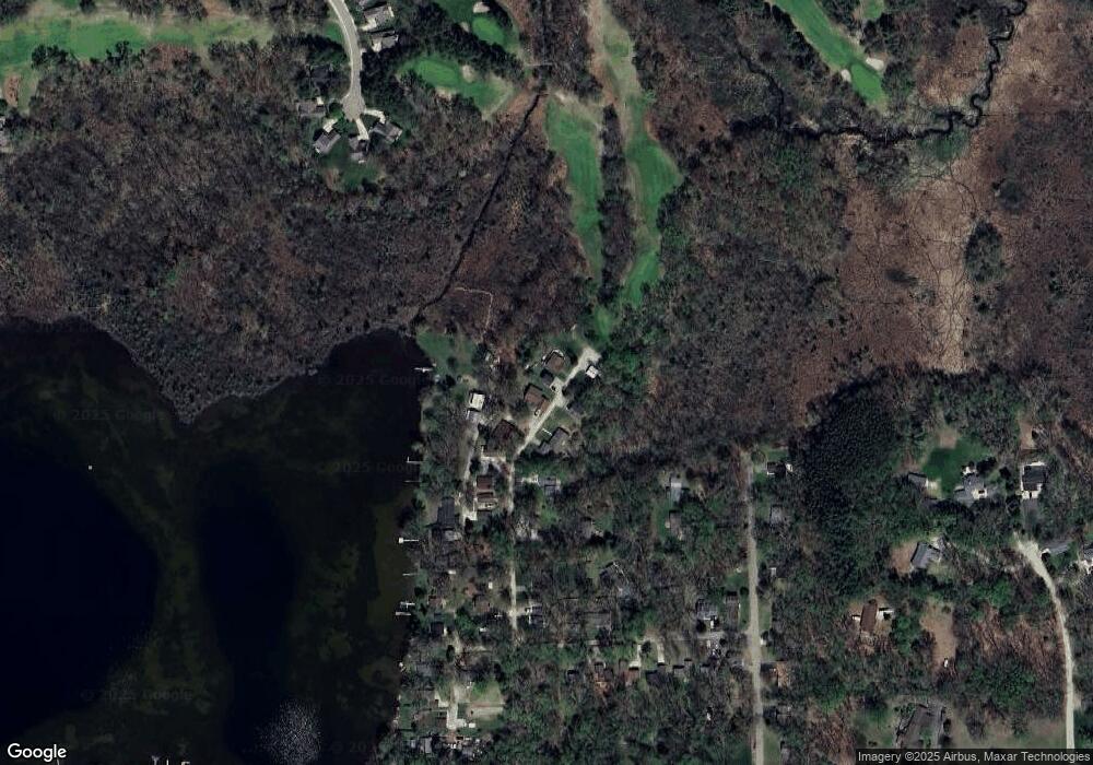
Map
Nearby Homes
- 10350 Half Moon Dr
- 2705 Melvin Rd
- 2696 Universal Dr
- 10618 Wolverine Dr
- 2661 Signature Cir Unit 84
- 9814 Tioga Trail Unit 120
- 2500 Whispering Pines Dr
- 3020 Michigan 36
- 3590 Habitat Trail Unit 25
- 9641 Rolling Greens Dr
- 3318 Shawnee Trail
- 3821 Langley Dr
- 2454 Calvin Ct Unit 68
- 3450 Hooker Rd
- 3483 Windwheel Point Dr
- 11591 Pleasant View Dr
- 10846 Colony Rd
- 00 Colony
- 2456 Spartans Trail Unit 84
- 11247 Colony Rd
- 10300 Michael Blvd
- 10320 Michael Blvd
- 10325 Michael Blvd
- 10353 Half Moon Dr
- 10345 Michael Blvd
- 10332 Half Moon Dr
- 10363 Michael Blvd
- 0 Michael Blvd Blvd Unit 214066845
- 111 Michael Blvd
- 10355 Half Moon Dr
- 10363 Half Moon Dr
- 10379 Michael Blvd
- 10376 Half Moon Dr
- 10392 Half Moon Dr
- 10364 Hill St
- 10384 Half Moon Dr
- 10417 Michael Blvd
- 10386 Hill St
- 10400 Half Moon Dr
- 2943 Ward Ave
Your Personal Tour Guide
Ask me questions while you tour the home.