10313 Lake Rd Cantil, CA 93519
Estimated payment $143/month
Highlights
- Mountain View
- No HOA
- Bike Trail
About This Lot
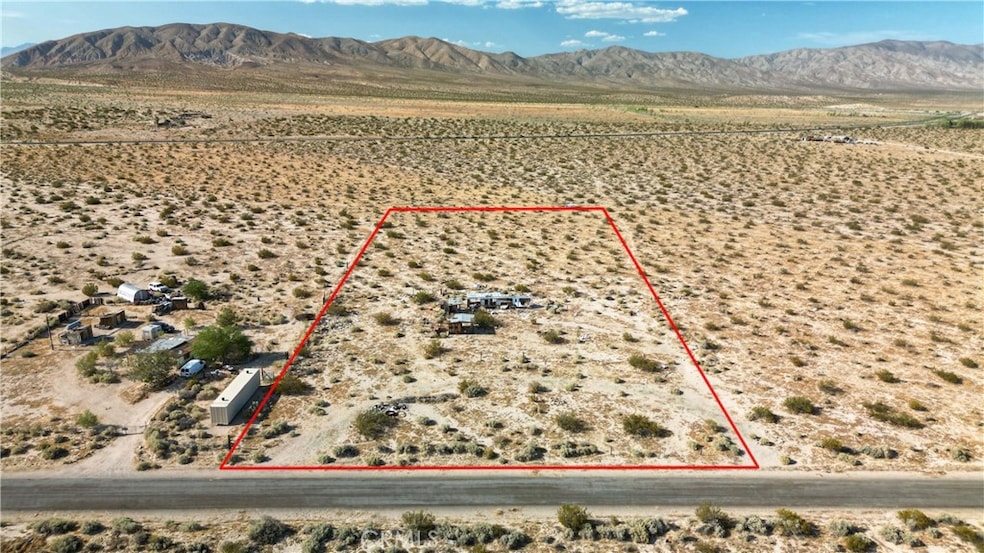
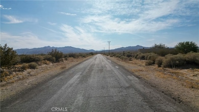
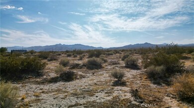
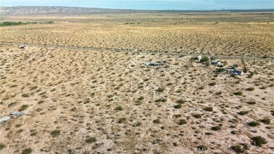
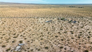
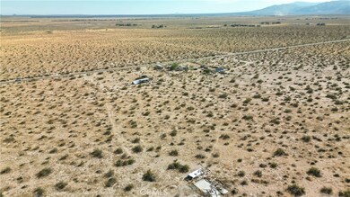
Five Acres of beautiful flan land. Lake road has recently been repaved. The lot size is 323 x 674. Located eight miles from Red Rock Canyon State Park. Red Rock canyon features beautiful red rock formations. Why drive to Utah when you can visit this stunning national park. Homes nearby. This land has plenty of potential for the development of multifamily or single-family homes. Located between Palmdale and Ridgecrest. Homes nearby, water and electricity nearby also. APN#181-261-27-00-2 GPS COORDINATES 35.317116, -117.944638
Listing Agent
Loanstar Financial Brokerage Phone: 760-434-5373 License #01188170 Listed on: 04/29/2025
Property Details
Property Type
- Land
Lot Details
- 5 Acre Lot
- Density is 2-5 Units/Acre
- Property is zoned A-1
Property Views
- Mountain
- Desert
Utilities
- No Utilities
- Water Not Available
- Sewer Not Available
Listing and Financial Details
- Assessor Parcel Number 18126127002
Community Details
Overview
- No Home Owners Association
Recreation
- Bike Trail
Map
Tax History
| Year | Tax Paid | Tax Assessment Tax Assessment Total Assessment is a certain percentage of the fair market value that is determined by local assessors to be the total taxable value of land and additions on the property. | Land | Improvement |
|---|---|---|---|---|
| 2025 | $213 | $16,596 | $16,596 | -- |
| 2024 | $213 | $16,271 | $16,271 | -- |
| 2023 | $180 | $15,952 | $15,952 | $0 |
| 2022 | $177 | $15,640 | $15,640 | $0 |
| 2021 | $182 | $15,334 | $15,334 | $0 |
| 2020 | $180 | $15,177 | $15,177 | $0 |
| 2019 | $177 | $15,177 | $15,177 | $0 |
| 2018 | $172 | $14,589 | $14,589 | $0 |
| 2017 | $183 | $14,303 | $14,303 | $0 |
| 2016 | $166 | $14,023 | $14,023 | $0 |
| 2015 | $167 | $13,813 | $13,813 | $0 |
| 2014 | $161 | $13,543 | $13,543 | $0 |
Property History
| Date | Event | Price | List to Sale | Price per Sq Ft |
|---|---|---|---|---|
| 04/29/2025 04/29/25 | For Sale | $23,900 | -- | -- |
Purchase History
| Date | Type | Sale Price | Title Company |
|---|---|---|---|
| Warranty Deed | $10,000 | First American Title Co |
Mortgage History
| Date | Status | Loan Amount | Loan Type |
|---|---|---|---|
| Previous Owner | $6,000 | No Value Available |
Source: California Regional Multiple Listing Service (CRMLS)
MLS Number: ND25094469
APN: 181-261-27-00-2
- 01 Apn 181-270-01 Lake Rd
- 0 Apn 181-390-42 Valley Rd
- 12055 Munsey Rd
- 0 Munsey Rd Unit SR25041818
- 2222 Munsey Rd
- 1111 Munsey Rd
- 0 E Redrock Randsburg Rd Unit 25004709
- 8955 Munsey Rd
- 7996 Rogers Rd
- 32292 Neuralia Rd
- 0 Vic Munsey Rd
- 0 Cholla Rd Unit 25001063
- 0 Cholla Rd Unit 25001062
- 7885 Chapinite Rd
- 0 California 14 Unit 9992976
- 0 California 14 Unit 9991950
- 7634 Cinnabar Rd
- 0 Neuralia Rd
- 2 Neuralia Rd
- 1 Neuralia Rd
- 9841 Mendiburu Rd
- 21850 101st St
- 9137 Evelyn Ave
- 9825 Sally Ave
- 8306 Quezon Ave
- 21109 Windsong St
- 10616 Proctor Blvd
- 8342 Columbine Ave Unit D
- 21032 79th St
- 6832 Quezon Ave
- 20912 83rd St Unit A
- 20912 83rd St Unit B
- 8249 Catalpa Ave Unit A
- 6761 California City Blvd
- 10648 Peach Ave
- 8260 Viburnum Ave
- 13429 Davenport St Unit 4
- 15726 L St
- 3010 Milton Dr Unit 2
- 824 S Norma St
