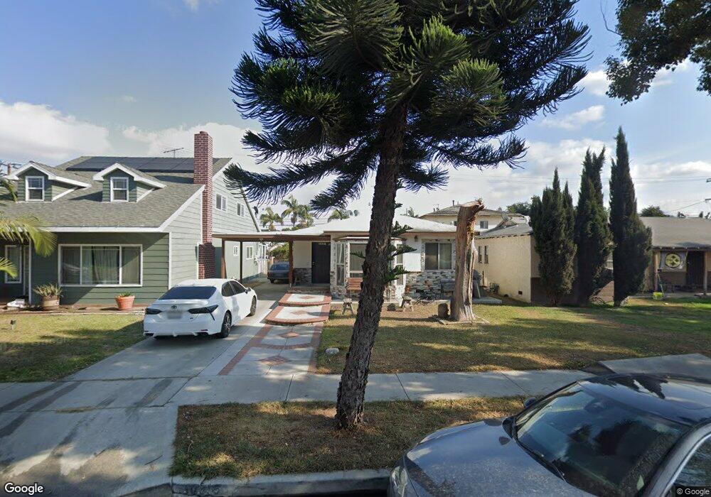
10316 Pinehurst Ave South Gate, CA 90280
Estimated Value: $643,579 - $699,000
2
Beds
1
Bath
958
Sq Ft
$700/Sq Ft
Est. Value
About This Home
This home is located at 10316 Pinehurst Ave, South Gate, CA 90280 and is currently estimated at $670,145, approximately $699 per square foot. 10316 Pinehurst Ave is a home located in Los Angeles County with nearby schools including Tweedy Elementary School, South Gate Middle School, and Southeast Middle School.
Ownership History
Date
Name
Owned For
Owner Type
Purchase Details
Closed on
Feb 17, 2014
Sold by
Perez Ismael C
Bought by
Perez Gustavo
Current Estimated Value
Purchase Details
Closed on
Apr 7, 2003
Sold by
Perez Ismael C
Bought by
Perez Ismael C
Purchase Details
Closed on
Nov 27, 2002
Sold by
Stout James R and Stout Dora A
Bought by
Perez Ismael C
Home Financials for this Owner
Home Financials are based on the most recent Mortgage that was taken out on this home.
Original Mortgage
$200,700
Interest Rate
5.97%
Create a Home Valuation Report for This Property
The Home Valuation Report is an in-depth analysis detailing your home's value as well as a comparison with similar homes in the area
Home Values in the Area
Average Home Value in this Area
Purchase History
| Date | Buyer | Sale Price | Title Company |
|---|---|---|---|
| Perez Gustavo | -- | None Available | |
| Perez Ismael C | -- | -- | |
| Perez Ismael C | $223,000 | Orange Coast Title |
Source: Public Records
Mortgage History
| Date | Status | Borrower | Loan Amount |
|---|---|---|---|
| Previous Owner | Perez Ismael C | $200,700 |
Source: Public Records
Tax History
| Year | Tax Paid | Tax Assessment Tax Assessment Total Assessment is a certain percentage of the fair market value that is determined by local assessors to be the total taxable value of land and additions on the property. | Land | Improvement |
|---|---|---|---|---|
| 2025 | $5,183 | $393,492 | $275,815 | $117,677 |
| 2024 | $5,183 | $385,777 | $270,407 | $115,370 |
| 2023 | $5,095 | $378,213 | $265,105 | $113,108 |
| 2022 | $4,854 | $370,798 | $259,907 | $110,891 |
| 2021 | $4,799 | $363,528 | $254,811 | $108,717 |
| 2019 | $4,649 | $352,748 | $247,254 | $105,494 |
| 2018 | $4,521 | $345,832 | $242,406 | $103,426 |
| 2016 | $4,324 | $332,405 | $232,994 | $99,411 |
| 2015 | $4,255 | $327,413 | $229,495 | $97,918 |
| 2014 | $3,487 | $263,458 | $178,279 | $85,179 |
Source: Public Records
Map
Nearby Homes
- 10240 Atlantic Ave
- 10411 Saint James Ave
- 10507 Pinehurst Ave
- 10127 Pinehurst Ave
- 5301 Aldrich Rd
- 10525 Washington Ave
- 10731 Wright Rd
- 10600 Hildreth Ave
- 10414 Dorothy Ave
- 9711 Salt Lake Ave
- 10001 W Frontage Rd Unit 40
- 10001 W Frontage Rd Unit 73
- 10001 W Frontage Rd Unit 175
- 10001 W Frontage Rd Unit 12
- 11138 Linden St
- 9623 Hunt Ave
- 10611 Bowman Ave
- 11131 Louise Ave
- 10001 Bowman Ave
- 4237 Abbott Rd
- 10312 Pinehurst Ave
- 10320 Pinehurst Ave
- 10308 Pinehurst Ave
- 10328 Pinehurst Ave
- 10304 Pinehurst Ave
- 10300 Pinehurst Ave
- 10332 Pinehurst Ave
- 10319 Pinehurst Ave Unit D
- 10319 Pinehurst Ave
- 10317 Pinehurst Ave
- 10313 Pinehurst Ave
- 10325 Pinehurst Ave
- 10246 Pinehurst Ave
- 10336 Pinehurst Ave
- 10309 Pinehurst Ave
- 10417 Atlantic Ave
- 10305 Atlantic Ave
- 10329 Pinehurst Ave
- 10305 Pinehurst Ave
- 10307 Atlantic Ave
Your Personal Tour Guide
Ask me questions while you tour the home.